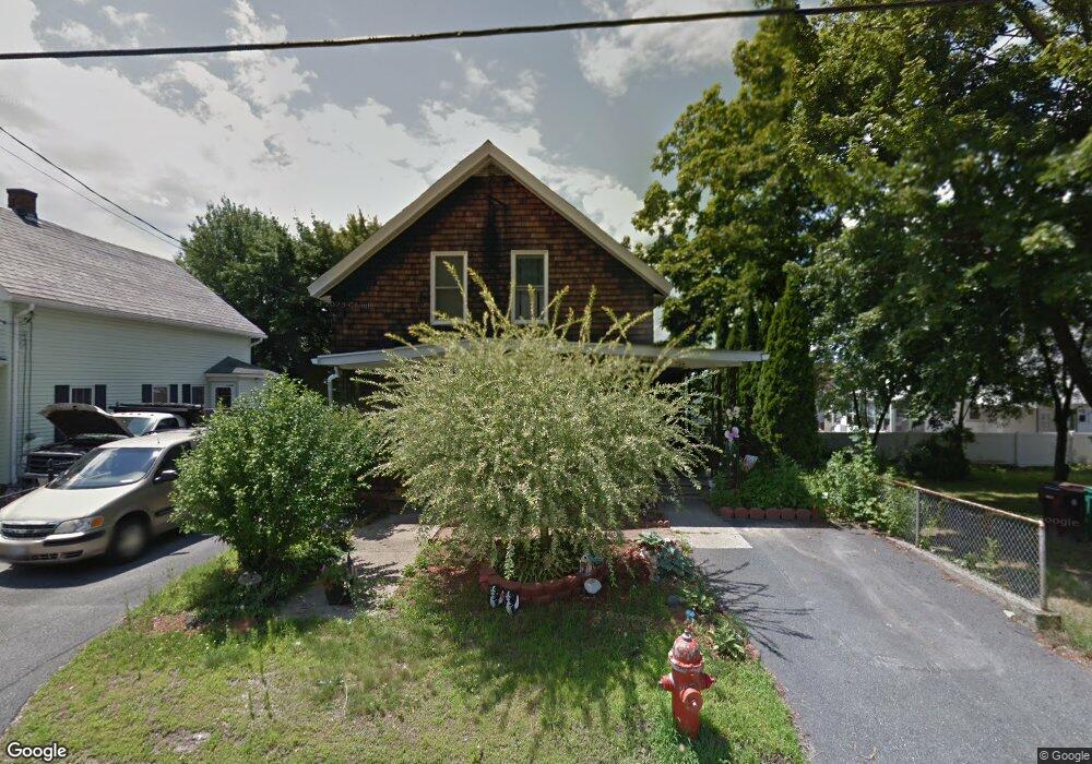
127 Division St Woonsocket, RI 02895
Bernon District NeighborhoodEstimated Value: $350,000 - $402,000
5
Beds
1
Bath
1,524
Sq Ft
$247/Sq Ft
Est. Value
About This Home
This home is located at 127 Division St, Woonsocket, RI 02895 and is currently estimated at $375,733, approximately $246 per square foot. 127 Division St is a home located in Providence County with nearby schools including Woonsocket High School, Founders Academy, and Beacon Charter School.
Ownership History
Date
Name
Owned For
Owner Type
Purchase Details
Closed on
Sep 6, 2019
Sold by
Tondreau Barbara
Bought by
Phillips Denise
Current Estimated Value
Home Financials for this Owner
Home Financials are based on the most recent Mortgage that was taken out on this home.
Original Mortgage
$98,000
Outstanding Balance
$62,424
Interest Rate
3.6%
Mortgage Type
New Conventional
Estimated Equity
$313,309
Purchase Details
Closed on
Aug 10, 2010
Sold by
Hammond Nicole and Phillips Denise
Bought by
Phillips Denise and Tondreau Barbara
Purchase Details
Closed on
Mar 18, 1994
Sold by
Tondreau Albert W and Tondreau Irene
Bought by
Tondreau Jean E and Tondreau Barbara
Create a Home Valuation Report for This Property
The Home Valuation Report is an in-depth analysis detailing your home's value as well as a comparison with similar homes in the area
Home Values in the Area
Average Home Value in this Area
Purchase History
| Date | Buyer | Sale Price | Title Company |
|---|---|---|---|
| Phillips Denise | -- | -- | |
| Phillips Denise | -- | -- | |
| Phillips Denise | -- | -- | |
| Phillips Denise | -- | -- | |
| Tondreau Jean E | $60,000 | -- | |
| Phillips Denise | -- | -- | |
| Tondreau Jean E | $60,000 | -- |
Source: Public Records
Mortgage History
| Date | Status | Borrower | Loan Amount |
|---|---|---|---|
| Open | Phillips Denise | $98,000 | |
| Closed | Phillips Denise | $98,000 | |
| Previous Owner | Tondreau Jean E | $40,000 | |
| Previous Owner | Tondreau Jean E | $116,800 |
Source: Public Records
Tax History
| Year | Tax Paid | Tax Assessment Tax Assessment Total Assessment is a certain percentage of the fair market value that is determined by local assessors to be the total taxable value of land and additions on the property. | Land | Improvement |
|---|---|---|---|---|
| 2025 | $4,114 | $366,300 | $106,000 | $260,300 |
| 2024 | $3,743 | $257,400 | $94,000 | $163,400 |
| 2023 | $3,598 | $257,400 | $94,000 | $163,400 |
| 2022 | $3,598 | $257,400 | $94,000 | $163,400 |
| 2021 | $3,658 | $154,000 | $58,100 | $95,900 |
| 2020 | $3,696 | $154,000 | $58,100 | $95,900 |
| 2018 | $3,708 | $154,000 | $58,100 | $95,900 |
| 2017 | $3,907 | $129,800 | $46,300 | $83,500 |
| 2016 | $4,133 | $129,800 | $46,300 | $83,500 |
| 2015 | $4,748 | $129,800 | $46,300 | $83,500 |
| 2014 | $3,078 | $125,500 | $50,800 | $74,700 |
Source: Public Records
Map
Nearby Homes
- 219 Crawford St
- 24 Paradis Ave
- 233 Grove St
- 74 Maple St
- 15 Knight St
- 345 Carrington Ave
- 379 Front St
- 35 Greene St
- 346 Carrington Ave
- 0 Irving Lot 206 Ave Unit 1397321
- 635 Park Ave
- 0 Irving Lot 192 Ave Unit 1383138
- 122 Grand St
- 410 Carrington Ave
- 99 Allen St Unit 205
- 180 Allen St Unit 104
- 59 Cooper Ave
- 42 Transit St
- 18 Villa Nova St
- 87 Kermit St
- 137 Division St
- 141 Division St
- 59 Unity St
- 71 Unity St
- 147 Division St
- 147 Division St Unit 2
- 0 Division St Unit 5
- 0 Division St Unit 3
- 0 Division St Unit 818700
- 0 Division St Unit 5
- 0 Division St Unit 4
- 190 Crawford St Unit 1L
- 39 Unity St
- 214 Crawford St
- 180 Crawford St
- 140 Division St
- 27 Unity St
- 165 Division St
- 168 Crawford St
- 118 Division St
Your Personal Tour Guide
Ask me questions while you tour the home.