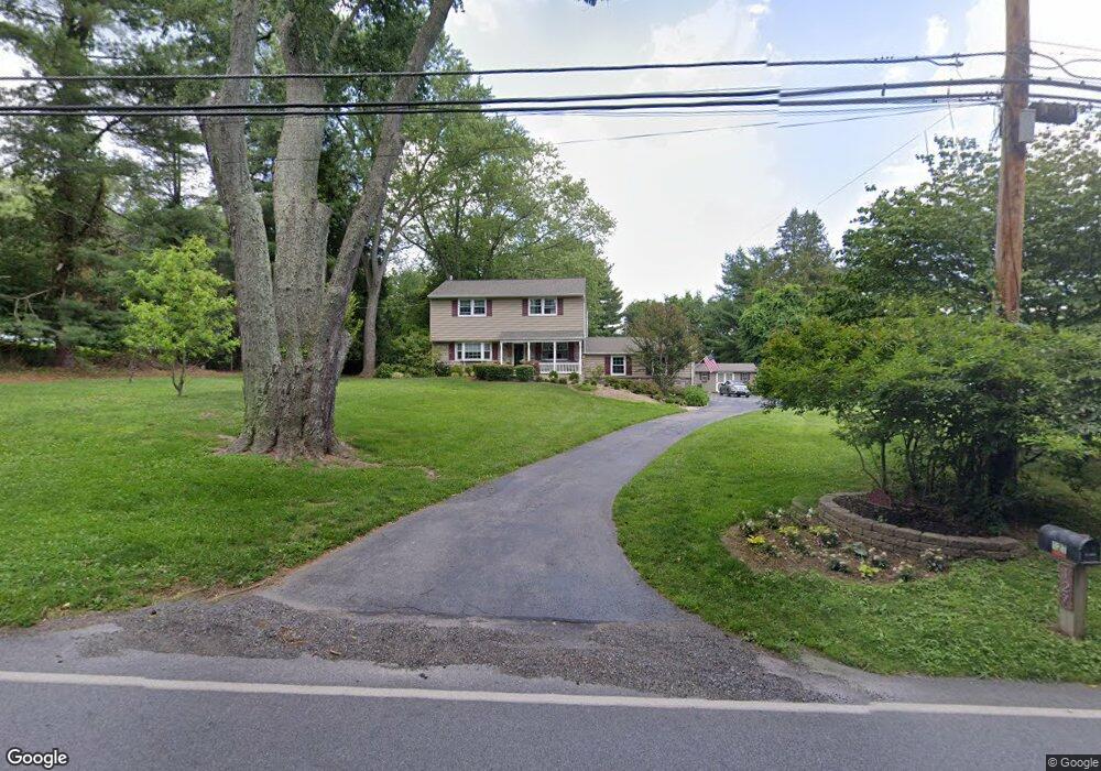
127 E Doe Run Rd Kennett Square, PA 19348
East Marlborough NeighborhoodEstimated Value: $571,395 - $708,000
3
Beds
2
Baths
1,768
Sq Ft
$370/Sq Ft
Est. Value
About This Home
This home is located at 127 E Doe Run Rd, Kennett Square, PA 19348 and is currently estimated at $653,599, approximately $369 per square foot. 127 E Doe Run Rd is a home located in Chester County with nearby schools including Unionville Elementary School, Charles F. Patton Middle School, and Unionville High School.
Ownership History
Date
Name
Owned For
Owner Type
Purchase Details
Closed on
Nov 12, 2002
Sold by
Evans William G and Evans Patricia S
Bought by
Evans William G and Evans Patricia S
Current Estimated Value
Home Financials for this Owner
Home Financials are based on the most recent Mortgage that was taken out on this home.
Original Mortgage
$135,000
Interest Rate
6.34%
Create a Home Valuation Report for This Property
The Home Valuation Report is an in-depth analysis detailing your home's value as well as a comparison with similar homes in the area
Home Values in the Area
Average Home Value in this Area
Purchase History
| Date | Buyer | Sale Price | Title Company |
|---|---|---|---|
| Evans William G | -- | Chicago Title Insurance Co |
Source: Public Records
Mortgage History
| Date | Status | Borrower | Loan Amount |
|---|---|---|---|
| Closed | Evans William G | $135,000 |
Source: Public Records
Tax History
| Year | Tax Paid | Tax Assessment Tax Assessment Total Assessment is a certain percentage of the fair market value that is determined by local assessors to be the total taxable value of land and additions on the property. | Land | Improvement |
|---|---|---|---|---|
| 2025 | $1,064 | $158,010 | $50,090 | $107,920 |
| 2024 | $1,064 | $158,010 | $50,090 | $107,920 |
| 2023 | $1,064 | $158,010 | $50,090 | $107,920 |
| 2022 | $885 | $158,010 | $50,090 | $107,920 |
| 2021 | $1,064 | $158,010 | $50,090 | $107,920 |
| 2020 | $856 | $158,010 | $50,090 | $107,920 |
| 2019 | $1,035 | $158,010 | $50,090 | $107,920 |
| 2018 | $1,035 | $158,010 | $50,090 | $107,920 |
| 2017 | $1,035 | $158,010 | $50,090 | $107,920 |
| 2016 | $627 | $158,010 | $50,090 | $107,920 |
| 2015 | $627 | $158,010 | $50,090 | $107,920 |
| 2014 | $627 | $158,010 | $50,090 | $107,920 |
Source: Public Records
Map
Nearby Homes
- 113 Lantana Dr
- 108 Petunia Dr
- 110 Petunia Dr
- 104 Taillevent Cir
- 347 Astilbe Dr
- 403 Lilac Dr
- 458 Mimosa Cir
- 454 Mimosa Cir
- 101 Violet Dr
- 217 Katsura Dr
- 312 Riverbirch Cir Unit 802
- 206 River Birch Cir Unit 401
- 824 Waverly Rd
- 736 Northbrook Rd Unit L3
- 736 Northbrook Rd Unit L2
- 736 Northbrook Rd Unit S4
- 234 Lily Ln
- 2039-2035 Lenape Unionville Rd
- 765 Folly Hill Rd
- 1850 Brooks Rd
- 129 E Doe Run Rd
- 131 E Doe Run Rd
- 125 E Doe Run Rd
- 133 E Doe Run Rd
- 212 Marlboro Rd
- 214 Marlboro Rd
- 218 Marlboro Rd
- 238 Marlboro Rd
- 226 Marlboro Rd
- 236 Marlboro Rd
- 207 Marlboro Rd
- 7 Rockford Crossing Dr
- 101 Lantana Dr
- 213 Marlboro Rd
- 103 Lantana Dr
- 246 Marlboro Rd
- 219 Marlboro Rd
- 105 Lantana Dr
- 244 Marlboro Rd
- 242 Marlborough Rd
Your Personal Tour Guide
Ask me questions while you tour the home.