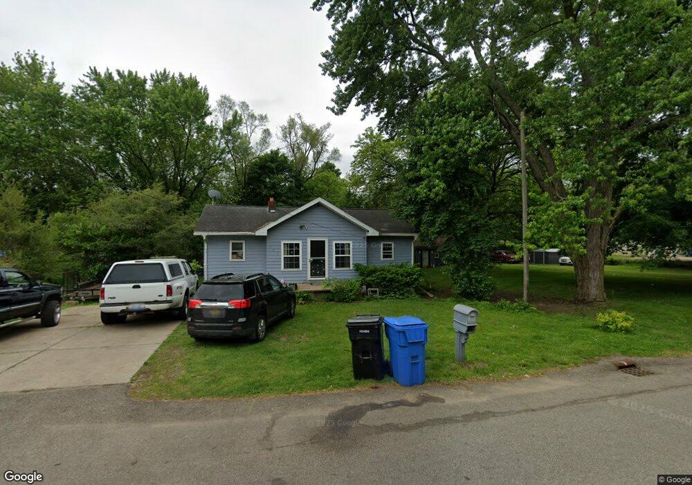
127 Eaton St Battle Creek, MI 49017
Northeast Battle Creek NeighborhoodEstimated Value: $112,000 - $148,000
3
Beds
1
Bath
968
Sq Ft
$130/Sq Ft
Est. Value
About This Home
This home is located at 127 Eaton St, Battle Creek, MI 49017 and is currently estimated at $125,942, approximately $130 per square foot. 127 Eaton St is a home located in Calhoun County with nearby schools including Pennfield Purdy School, Pennfield Dunlap Elementary School, and Pennfield Middle School.
Ownership History
Date
Name
Owned For
Owner Type
Purchase Details
Closed on
Sep 3, 2024
Sold by
Kline Thomas Edward
Bought by
Kline Thomas Edward and Kline Edward J
Current Estimated Value
Purchase Details
Closed on
Jun 28, 2024
Sold by
Kline Margaret Ann
Bought by
Kline Thomas Edward
Purchase Details
Closed on
May 27, 2021
Sold by
Kline Thomas Edward and Kline Margaret
Bought by
Kline Thomas Edward and Kline Edward J
Create a Home Valuation Report for This Property
The Home Valuation Report is an in-depth analysis detailing your home's value as well as a comparison with similar homes in the area
Home Values in the Area
Average Home Value in this Area
Purchase History
| Date | Buyer | Sale Price | Title Company |
|---|---|---|---|
| Kline Thomas Edward | -- | None Listed On Document | |
| Kline Thomas Edward | -- | None Listed On Document | |
| Kline Thomas Edward | -- | None Listed On Document | |
| Kline Thomas Edward | -- | None Available |
Source: Public Records
Tax History Compared to Growth
Tax History
| Year | Tax Paid | Tax Assessment Tax Assessment Total Assessment is a certain percentage of the fair market value that is determined by local assessors to be the total taxable value of land and additions on the property. | Land | Improvement |
|---|---|---|---|---|
| 2025 | $937 | $42,900 | $0 | $0 |
| 2024 | $414 | $39,900 | $0 | $0 |
| 2023 | $803 | $35,210 | $0 | $0 |
| 2022 | $376 | $30,740 | $0 | $0 |
| 2021 | $806 | $29,450 | $0 | $0 |
| 2020 | $792 | $28,850 | $0 | $0 |
| 2019 | $782 | $22,250 | $0 | $0 |
| 2018 | $691 | $21,810 | $5,090 | $16,720 |
| 2017 | $0 | $21,410 | $0 | $0 |
| 2016 | $0 | $20,240 | $0 | $0 |
| 2015 | -- | $17,610 | $2,948 | $14,662 |
| 2014 | -- | $16,450 | $2,948 | $13,502 |
Source: Public Records
Map
Nearby Homes
- 0 Hopkins St
- 21 Bradley St
- 731 Roosevelt Ave E
- 52 Thorncroft Ave
- 0 Capital Ave NE
- 758 Roosevelt Ave E
- 40 Oxford St
- 561 Garrison Rd
- 228 East Ave N
- 174 East Ave N
- 1731 Capital Ave NE
- 292 Hunter St
- 495 Emmett St E
- 0 Pickford Ave
- 179 Bryant St
- 186 Bryant St
- 28 Convis St
- 21 Bryant St
- 723 Capital Ave NE
- 146 Maplehurst Blvd