127 Eugene Rd Eugene, MO 65032
Estimated Value: $380,000 - $630,000
Studio
--
Bath
2,386
Sq Ft
$201/Sq Ft
Est. Value
About This Home
This home is located at 127 Eugene Rd, Eugene, MO 65032 and is currently estimated at $479,523, approximately $200 per square foot. 127 Eugene Rd is a home with nearby schools including Eugene Elementary School and Eugene High School.
Ownership History
Date
Name
Owned For
Owner Type
Purchase Details
Closed on
Jun 7, 2017
Sold by
Arakelian Tammi
Bought by
Graham Russel and Graham Vicki
Current Estimated Value
Home Financials for this Owner
Home Financials are based on the most recent Mortgage that was taken out on this home.
Original Mortgage
$131,526
Outstanding Balance
$109,320
Interest Rate
4.08%
Mortgage Type
New Conventional
Estimated Equity
$370,203
Purchase Details
Closed on
May 9, 2016
Sold by
Arakelian Tammi
Bought by
Graham Russel and Graham Vicki
Purchase Details
Closed on
Jun 17, 2015
Sold by
Kempker Benjamin John and Kempker Julie Lynn
Bought by
Arakelian Tammi
Create a Home Valuation Report for This Property
The Home Valuation Report is an in-depth analysis detailing your home's value as well as a comparison with similar homes in the area
Home Values in the Area
Average Home Value in this Area
Purchase History
| Date | Buyer | Sale Price | Title Company |
|---|---|---|---|
| Graham Russel | -- | None Available | |
| Graham Russel | -- | None Available | |
| Arakelian Tammi | -- | None Available |
Source: Public Records
Mortgage History
| Date | Status | Borrower | Loan Amount |
|---|---|---|---|
| Open | Graham Russel | $131,526 |
Source: Public Records
Tax History
| Year | Tax Paid | Tax Assessment Tax Assessment Total Assessment is a certain percentage of the fair market value that is determined by local assessors to be the total taxable value of land and additions on the property. | Land | Improvement |
|---|---|---|---|---|
| 2025 | $2,618 | $46,000 | $1,580 | $44,420 |
| 2024 | $2,390 | $41,690 | $1,470 | $40,220 |
| 2023 | $2,106 | $41,690 | $1,470 | $40,220 |
| 2022 | $2,106 | $42,050 | $1,340 | $40,710 |
| 2021 | $2,108 | $42,050 | $1,340 | $40,710 |
| 2020 | $2,026 | $39,990 | $1,340 | $38,650 |
| 2019 | $2,032 | $39,990 | $1,340 | $38,650 |
| 2018 | $1,988 | $39,990 | $1,340 | $38,650 |
| 2017 | $1,982 | $41,580 | $1,300 | $40,280 |
| 2016 | $669 | $13,670 | $0 | $0 |
| 2015 | -- | $13,670 | $0 | $0 |
| 2012 | -- | $14,810 | $0 | $0 |
Source: Public Records
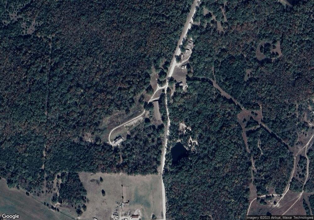
Map
Nearby Homes
- 0 Highway Mm
- 46 Devonshire Rd
- 367 Highway Mm
- Tbd Off of Highway 137
- TBD Highway Mm
- 13615 Redfield Dr
- Tract 1 Greystone Rd
- Tract 2 Greystone Rd
- Tracts 1-5 Greystone Rd
- Tract 4 Greystone Rd
- Tract 5 Greystone Rd
- Tract 3 Greystone Rd
- Tracts 1 & 4 Greystone Rd
- 89 Frank Rd
- 000 Swift Rd
- 12907 Penny Hollow Rd
- 1446 Highway 52
- LOT 5 SE View St
- LOT 3 SE View St
- LOT 4 SE View St
Your Personal Tour Guide
Ask me questions while you tour the home.