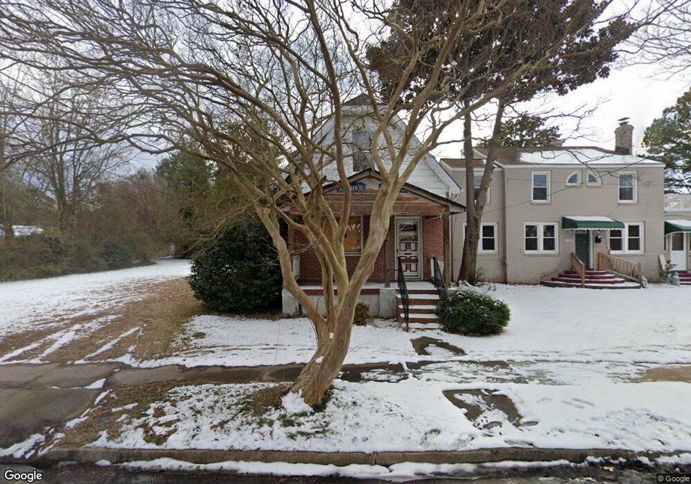
127 Filbert St Norfolk, VA 23505
Cromwell Farm/Bolling Brook NeighborhoodEstimated Value: $233,000 - $312,000
3
Beds
2
Baths
1,776
Sq Ft
$160/Sq Ft
Est. Value
About This Home
This home is located at 127 Filbert St, Norfolk, VA 23505 and is currently estimated at $284,205, approximately $160 per square foot. 127 Filbert St is a home located in Norfolk City with nearby schools including Suburban Park Elementary School, Blair Middle School, and Granby High School.
Ownership History
Date
Name
Owned For
Owner Type
Purchase Details
Closed on
Jun 5, 2017
Sold by
Page Milligan S and Page Louis C
Bought by
Reese Thomas and Behr Joshua G
Current Estimated Value
Home Financials for this Owner
Home Financials are based on the most recent Mortgage that was taken out on this home.
Original Mortgage
$120,000
Outstanding Balance
$21,634
Interest Rate
4%
Mortgage Type
New Conventional
Estimated Equity
$262,571
Purchase Details
Closed on
Dec 3, 2007
Sold by
Daye Ava J
Bought by
Allgood Roland F and Bohenek Kevin G
Create a Home Valuation Report for This Property
The Home Valuation Report is an in-depth analysis detailing your home's value as well as a comparison with similar homes in the area
Home Values in the Area
Average Home Value in this Area
Purchase History
| Date | Buyer | Sale Price | Title Company |
|---|---|---|---|
| Reese Thomas | $150,000 | Advance Title & Abstract Inc | |
| Allgood Roland F | -- | Lawyers Title Insurance Corp |
Source: Public Records
Mortgage History
| Date | Status | Borrower | Loan Amount |
|---|---|---|---|
| Open | Reese Thomas | $120,000 |
Source: Public Records
Tax History Compared to Growth
Tax History
| Year | Tax Paid | Tax Assessment Tax Assessment Total Assessment is a certain percentage of the fair market value that is determined by local assessors to be the total taxable value of land and additions on the property. | Land | Improvement |
|---|---|---|---|---|
| 2025 | $2,873 | $229,800 | $49,500 | $180,300 |
| 2024 | $2,553 | $207,600 | $49,500 | $158,100 |
| 2023 | $2,184 | $174,700 | $43,000 | $131,700 |
| 2022 | $2,158 | $172,600 | $40,900 | $131,700 |
| 2021 | $1,821 | $145,700 | $31,000 | $114,700 |
| 2020 | $1,821 | $145,700 | $31,000 | $114,700 |
| 2019 | $1,821 | $145,700 | $31,000 | $114,700 |
| 2018 | $1,769 | $141,500 | $31,000 | $110,500 |
| 2017 | $1,615 | $140,400 | $31,000 | $109,400 |
| 2016 | $1,615 | $135,400 | $31,000 | $104,400 |
| 2015 | $1,557 | $135,400 | $31,000 | $104,400 |
| 2014 | $1,557 | $135,400 | $31,000 | $104,400 |
Source: Public Records
Map
Nearby Homes
- 110 Filbert St
- 107 Sinclair St
- 207 S Blake Rd
- 209 S Blake Rd
- 127 Conway Ave
- 7310 Woodfin Ave
- 507 Carlisle Way
- 265 Sir Oliver Rd
- 404 Hariton Ct
- 423 Hariton Ct
- 201 Maycox Ave
- 123 Louisiana Dr
- 7053 Kirby Crescent
- 149 Ridgeley Rd
- 135 Ridgeley Point
- 314 Maycox Ave
- 349 Virginian Dr
- 556 Summers Dr
- 7527 Yorktown Dr
- 300 Burleigh Ave