127 Forrest Dr Southampton, PA 18966
Estimated Value: $634,604 - $722,000
3
Beds
2
Baths
2,235
Sq Ft
$302/Sq Ft
Est. Value
About This Home
This home is located at 127 Forrest Dr, Southampton, PA 18966 and is currently estimated at $675,651, approximately $302 per square foot. 127 Forrest Dr is a home located in Bucks County with nearby schools including Hillcrest El School, Holland Middle School, and Council Rock High School - South.
Ownership History
Date
Name
Owned For
Owner Type
Purchase Details
Closed on
Nov 30, 2009
Sold by
Freeman Stanley I and Freeman Beverly A
Bought by
Graham Brian and Graham Meghan
Current Estimated Value
Home Financials for this Owner
Home Financials are based on the most recent Mortgage that was taken out on this home.
Original Mortgage
$315,297
Outstanding Balance
$206,918
Interest Rate
5.02%
Mortgage Type
VA
Estimated Equity
$468,733
Purchase Details
Closed on
Aug 18, 1982
Bought by
Freeman Stanley I and Freeman Beverly A
Create a Home Valuation Report for This Property
The Home Valuation Report is an in-depth analysis detailing your home's value as well as a comparison with similar homes in the area
Home Values in the Area
Average Home Value in this Area
Purchase History
| Date | Buyer | Sale Price | Title Company |
|---|---|---|---|
| Graham Brian | $335,000 | First American Title Ins Co | |
| Freeman Stanley I | $91,300 | -- |
Source: Public Records
Mortgage History
| Date | Status | Borrower | Loan Amount |
|---|---|---|---|
| Open | Graham Brian | $315,297 |
Source: Public Records
Tax History Compared to Growth
Tax History
| Year | Tax Paid | Tax Assessment Tax Assessment Total Assessment is a certain percentage of the fair market value that is determined by local assessors to be the total taxable value of land and additions on the property. | Land | Improvement |
|---|---|---|---|---|
| 2025 | $6,395 | $33,200 | $6,760 | $26,440 |
| 2024 | $6,395 | $33,200 | $6,760 | $26,440 |
| 2023 | $6,027 | $33,200 | $6,760 | $26,440 |
| 2022 | $5,972 | $33,200 | $6,760 | $26,440 |
| 2021 | $5,783 | $33,200 | $6,760 | $26,440 |
| 2020 | $5,653 | $33,200 | $6,760 | $26,440 |
| 2019 | $5,411 | $33,200 | $6,760 | $26,440 |
| 2018 | $5,314 | $33,200 | $6,760 | $26,440 |
| 2017 | $5,109 | $33,200 | $6,760 | $26,440 |
| 2016 | $5,109 | $33,200 | $6,760 | $26,440 |
| 2015 | -- | $33,200 | $6,760 | $26,440 |
| 2014 | -- | $33,200 | $6,760 | $26,440 |
Source: Public Records
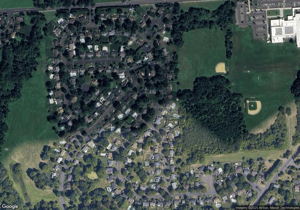
Map
Nearby Homes
- 41 Grant Dr
- 6 Rolling Hills Dr
- 100 E Holland Rd
- 15 Penn Cir
- 27 Rocking Horse Way
- 178 Buckshire Dr
- 24 Standing Tree Cir
- 21019 Bennett Place Unit 7
- 270 Rocksville Rd
- 131 Rocksville Rd
- 302 Independence Dr
- 6 Windy Knoll Dr
- 52 Dalton Way
- 29 Langhorne Ave
- 6 Springwood Place
- 151 Knox Ct
- 327 Hale Dr Unit 801A
- 139 Heather Valley Rd
- 147 Watergate Dr
- 527 Ashton Cir
- 123 Forrest Dr
- 267 Woodlake Dr
- 271 Woodlake Dr
- 263 Woodlake Dr
- 122 Forrest Dr
- 119 Forrest Dr
- 259 Woodlake Dr
- 118 Forrest Dr
- 132 Forrest Dr
- 128 Forrest Dr
- 255 Woodlake Dr
- 115 Forrest Dr
- 136 Forrest Dr
- 149 Forrest Dr
- 272 Woodlake Dr
- 251 Woodlake Dr
- 114 Forrest Dr
- 40 Crestview Dr
- 30 Black Pine Rd
- 111 Forrest Dr