127 Hammer Head Ln Chapmansboro, TN 37035
Chapmansboro NeighborhoodEstimated Value: $451,233 - $602,000
--
Bed
--
Bath
1,280
Sq Ft
$394/Sq Ft
Est. Value
About This Home
This home is located at 127 Hammer Head Ln, Chapmansboro, TN 37035 and is currently estimated at $503,744, approximately $393 per square foot. 127 Hammer Head Ln is a home with nearby schools including West Cheatham Elementary School, Cheatham Middle School, and Cheatham County Central High School.
Ownership History
Date
Name
Owned For
Owner Type
Purchase Details
Closed on
Feb 1, 2021
Sold by
Williams Aviation Inc
Bought by
Fitzhugh David Bobby
Current Estimated Value
Home Financials for this Owner
Home Financials are based on the most recent Mortgage that was taken out on this home.
Original Mortgage
$136,000
Interest Rate
2.6%
Mortgage Type
Construction
Purchase Details
Closed on
Apr 4, 2008
Bought by
Williams Aviation Inc
Purchase Details
Closed on
Sep 22, 1979
Bought by
Williams Rayburn and Williams Charlene
Create a Home Valuation Report for This Property
The Home Valuation Report is an in-depth analysis detailing your home's value as well as a comparison with similar homes in the area
Home Values in the Area
Average Home Value in this Area
Purchase History
| Date | Buyer | Sale Price | Title Company |
|---|---|---|---|
| Fitzhugh David Bobby | $50,000 | Title Escrow Of Robertson | |
| Fitzhugh David Bobby | $50,000 | Title Escrow Of Robertson | |
| Williams Aviation Inc | -- | -- | |
| Williams Rayburn | -- | -- |
Source: Public Records
Mortgage History
| Date | Status | Borrower | Loan Amount |
|---|---|---|---|
| Closed | Fitzhugh David Bobby | $136,000 |
Source: Public Records
Tax History Compared to Growth
Tax History
| Year | Tax Paid | Tax Assessment Tax Assessment Total Assessment is a certain percentage of the fair market value that is determined by local assessors to be the total taxable value of land and additions on the property. | Land | Improvement |
|---|---|---|---|---|
| 2024 | $2,031 | $117,325 | $47,550 | $69,775 |
| 2023 | $2,907 | $102,075 | $34,825 | $67,250 |
| 2022 | $2,280 | $84,725 | $34,825 | $49,900 |
| 2021 | $937 | $34,825 | $34,825 | $0 |
| 2020 | $937 | $34,825 | $34,825 | $0 |
| 2019 | $937 | $34,825 | $34,825 | $0 |
| 2018 | $115 | $3,750 | $3,750 | $0 |
| 2017 | $108 | $3,750 | $3,750 | $0 |
| 2016 | $103 | $3,750 | $3,750 | $0 |
| 2015 | $110 | $3,750 | $3,750 | $0 |
| 2014 | $110 | $3,750 | $3,750 | $0 |
Source: Public Records
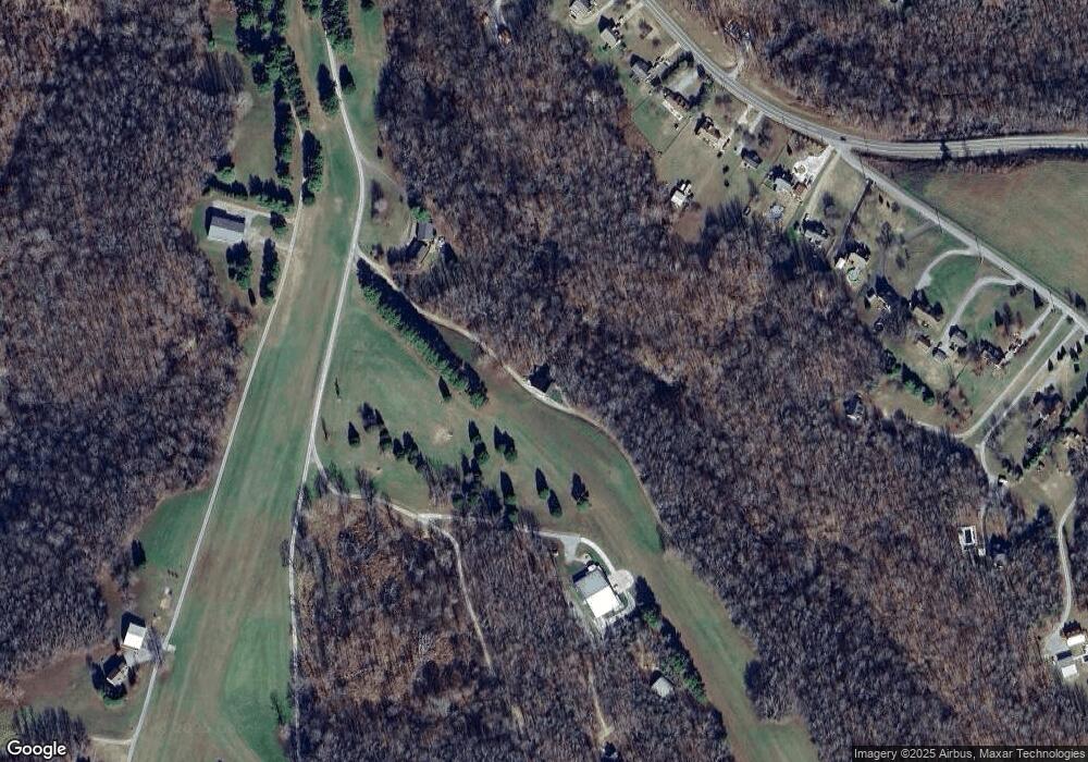
Map
Nearby Homes
- 0 Aresti Dr
- 2767 Highway 12 N
- 1719 Wynnewood Dr
- 1230 Chapmansboro Rd
- 5 Highway 12 N
- 4 Highway 12 N
- 1 Highway 12 N
- 432 Slow Roll Dr
- 2863 Sweethome Rd
- 2894 Sweethome Rd
- 2898 Sweethome Rd
- 0 Kimbrough Rd
- 1018 Pleasant Valley Rd
- 2964 Sweethome Rd
- 2041 Lockwall Dr
- 1380A Cheatham Dam Rd
- 1341 Chapmansboro Rd
- 1357 Chapmansboro Rd
- 0 Highway 12n Unit RTC3012536
- 1125 MacOn Wall Rd
- 123 Aresti Dr Unit PVT
- 540 Lazy 8 Dr
- 2715 Highway 12 N
- 2707 Highway 12 N
- 2723 Highway 12 N
- 1210 Chapmansboro Rd
- 1198 Chapmansboro Rd
- 2701 Highway 12 N
- 2733 Highway 12 N
- 1200 Chapmansboro Rd
- 150 Slow Roll
- 1202 Chapmansboro Rd
- 2755 Highway 12n
- 2755 Hwy 12n
- 2755 Highway 12 N
- 418 Lazy 8 Dr
- 418 Lazy 8 Dr
- 2767 Highway 12n
- 1204 Chapmansboro Rd
- 2789 Highway 12 N