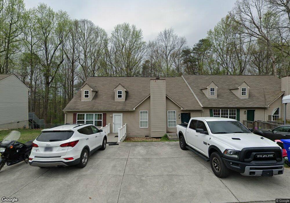
127 High Point Ln Oak Ridge, TN 37830
Estimated Value: $226,000 - $259,000
--
Bed
2
Baths
1,768
Sq Ft
$138/Sq Ft
Est. Value
About This Home
This home is located at 127 High Point Ln, Oak Ridge, TN 37830 and is currently estimated at $243,565, approximately $137 per square foot. 127 High Point Ln is a home located in Anderson County with nearby schools including Woodland Elementary School, Jefferson Middle School, and Oak Ridge High School.
Ownership History
Date
Name
Owned For
Owner Type
Purchase Details
Closed on
Oct 18, 2013
Sold by
Avery John
Bought by
Mansoor Arshad
Current Estimated Value
Purchase Details
Closed on
Oct 13, 2000
Sold by
Loggins Wendi Hatmaker
Bought by
Avery John
Purchase Details
Closed on
Jan 10, 1995
Sold by
Aurin Craig
Bought by
Loggins Wendi
Purchase Details
Closed on
Sep 20, 1990
Bought by
Aurin Craig M
Create a Home Valuation Report for This Property
The Home Valuation Report is an in-depth analysis detailing your home's value as well as a comparison with similar homes in the area
Home Values in the Area
Average Home Value in this Area
Purchase History
| Date | Buyer | Sale Price | Title Company |
|---|---|---|---|
| Mansoor Arshad | $82,000 | -- | |
| Avery John | $77,000 | -- | |
| Loggins Wendi | $69,000 | -- | |
| Aurin Craig M | $60,000 | -- |
Source: Public Records
Tax History Compared to Growth
Tax History
| Year | Tax Paid | Tax Assessment Tax Assessment Total Assessment is a certain percentage of the fair market value that is determined by local assessors to be the total taxable value of land and additions on the property. | Land | Improvement |
|---|---|---|---|---|
| 2024 | $651 | $26,500 | $2,850 | $23,650 |
| 2023 | $651 | $26,500 | $0 | $0 |
| 2022 | $1,264 | $26,500 | $2,850 | $23,650 |
| 2021 | $1,264 | $26,500 | $2,850 | $23,650 |
| 2020 | $651 | $26,500 | $2,850 | $23,650 |
| 2019 | $1,100 | $20,925 | $2,200 | $18,725 |
| 2018 | $1,075 | $20,925 | $2,200 | $18,725 |
| 2017 | $1,070 | $20,925 | $2,200 | $18,725 |
| 2016 | $1,070 | $20,925 | $2,200 | $18,725 |
| 2015 | -- | $20,925 | $2,200 | $18,725 |
| 2014 | -- | $20,925 | $2,200 | $18,725 |
| 2013 | -- | $22,525 | $0 | $0 |
Source: Public Records
Map
Nearby Homes
- 113 High Point Ln
- 0 Hendrix Dr
- 160 High Point Ln
- 162 High Point Ln
- 98 Hampshire Cir
- 123 Heritage Dr
- 101 Hendrix Dr
- 103 S Purdue Ave
- 121 Goucher Cir
- 105 Deerfield Ln
- 112 Nasson Ln
- 116 W Gettysburg Ave
- 109 Nasson Ln
- 191 Manhattan Ave
- 124 Marshall Cir
- 207 Manhattan Ave
- 185 S Purdue Ave
- 244 Vermont Ave
- 107 Townsend Rd
- 118 Venus Rd
- 129 High Point Ln
- 125 High Point Ln
- 131 High Point Ln
- 123 High Point Ln
- 133 High Point Ln
- 121 High Point Ln
- 119 High Point Ln
- 135 High Point Ln
- 137 High Point Ln
- 117 High Point Ln
- 139 High Point Ln
- 128 High Point Ln
- 126 High Point Ln
- 130 High Point Ln
- 124 High Point Ln
- 132 High Point Ln
- 115 High Point Ln
- 115 High Point Ln Unit 4
- 0 High Point Ln Unit 600348
- 0 High Point Ln Unit 669578