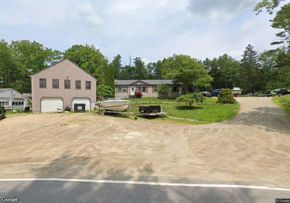
127 Hill Rd West Bath, ME 04530
Estimated Value: $408,000 - $539,000
3
Beds
2
Baths
1,456
Sq Ft
$325/Sq Ft
Est. Value
About This Home
This home is located at 127 Hill Rd, West Bath, ME 04530 and is currently estimated at $473,262, approximately $325 per square foot. 127 Hill Rd is a home with nearby schools including Morse High School and Hyde School.
Ownership History
Date
Name
Owned For
Owner Type
Purchase Details
Closed on
Mar 19, 2019
Sold by
Nelson Mark A and Nelson Paula J
Bought by
Lyford Michael T and Lyford Jami M
Current Estimated Value
Home Financials for this Owner
Home Financials are based on the most recent Mortgage that was taken out on this home.
Original Mortgage
$179,000
Outstanding Balance
$156,732
Interest Rate
4.4%
Mortgage Type
New Conventional
Estimated Equity
$316,530
Purchase Details
Closed on
Nov 20, 2009
Sold by
Nelson Paula J
Bought by
Nelson Paula J and Nelson Mark J
Home Financials for this Owner
Home Financials are based on the most recent Mortgage that was taken out on this home.
Original Mortgage
$167,000
Interest Rate
5.25%
Mortgage Type
Purchase Money Mortgage
Create a Home Valuation Report for This Property
The Home Valuation Report is an in-depth analysis detailing your home's value as well as a comparison with similar homes in the area
Home Values in the Area
Average Home Value in this Area
Purchase History
| Date | Buyer | Sale Price | Title Company |
|---|---|---|---|
| Lyford Michael T | -- | -- | |
| Lyford Michael T | -- | -- | |
| Nelson Paula J | -- | -- |
Source: Public Records
Mortgage History
| Date | Status | Borrower | Loan Amount |
|---|---|---|---|
| Open | Lyford Michael T | $179,000 | |
| Closed | Lyford Michael T | $179,000 | |
| Previous Owner | Nelson Paula J | $167,000 |
Source: Public Records
Tax History Compared to Growth
Tax History
| Year | Tax Paid | Tax Assessment Tax Assessment Total Assessment is a certain percentage of the fair market value that is determined by local assessors to be the total taxable value of land and additions on the property. | Land | Improvement |
|---|---|---|---|---|
| 2024 | $3,120 | $380,500 | $101,400 | $279,100 |
| 2023 | $2,587 | $380,500 | $101,400 | $279,100 |
| 2022 | $2,472 | $231,000 | $56,600 | $174,400 |
| 2021 | $2,426 | $231,000 | $56,600 | $174,400 |
| 2020 | $2,426 | $231,000 | $56,600 | $174,400 |
| 2019 | $2,426 | $231,000 | $56,600 | $174,400 |
| 2018 | $2,534 | $228,300 | $53,900 | $174,400 |
| 2017 | $2,557 | $228,300 | $53,900 | $174,400 |
| 2016 | $2,108 | $206,700 | $53,900 | $152,800 |
| 2015 | $2,150 | $206,700 | $53,900 | $152,800 |
| 2014 | $2,108 | $206,700 | $53,900 | $152,800 |
| 2013 | $2,098 | $206,700 | $53,900 | $152,800 |
Source: Public Records
Map
Nearby Homes
- 60 Rosedale Rd
- Lot 27 Howards Point Ln
- 46 Dam Cove Rd
- 66 High St
- 88 Campbell Pond Rd
- 286 High St
- 10 Marshall Ave
- 45 Harding Rd
- 498 High St
- 12 Pine Hill Dr
- Lot #13 Tonal Ln
- 332 Washington St
- 0 High St
- Lot 18 Beacon Dr
- 444 Middle St
- Lot 11 Beacon Dr
- 47 Cluf Bay Rd
- 533 High St
- Lot 23 Beacon Dr
- 595 High St