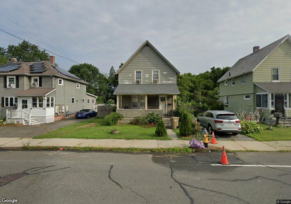
127 Howard St Ludlow, MA 01056
Estimated Value: $279,000 - $309,000
3
Beds
2
Baths
1,305
Sq Ft
$226/Sq Ft
Est. Value
About This Home
This home is located at 127 Howard St, Ludlow, MA 01056 and is currently estimated at $294,533, approximately $225 per square foot. 127 Howard St is a home located in Hampden County with nearby schools including East Street Elementary School, Chapin Street Elementary School, and Paul R. Baird Middle School.
Ownership History
Date
Name
Owned For
Owner Type
Purchase Details
Closed on
Sep 28, 2004
Sold by
Mcvicar Elaine P
Bought by
Ventura Joseph Thomas and Ventura Joseph
Current Estimated Value
Home Financials for this Owner
Home Financials are based on the most recent Mortgage that was taken out on this home.
Original Mortgage
$118,400
Outstanding Balance
$59,109
Interest Rate
5.89%
Mortgage Type
Purchase Money Mortgage
Estimated Equity
$235,424
Create a Home Valuation Report for This Property
The Home Valuation Report is an in-depth analysis detailing your home's value as well as a comparison with similar homes in the area
Home Values in the Area
Average Home Value in this Area
Purchase History
| Date | Buyer | Sale Price | Title Company |
|---|---|---|---|
| Ventura Joseph Thomas | $148,000 | -- | |
| Ventura Joseph Thomas | $148,000 | -- |
Source: Public Records
Mortgage History
| Date | Status | Borrower | Loan Amount |
|---|---|---|---|
| Open | Ventura Joseph Thomas | $118,400 | |
| Closed | Ventura Joseph Thomas | $29,600 | |
| Closed | Ventura Joseph Thomas | $118,400 |
Source: Public Records
Tax History
| Year | Tax Paid | Tax Assessment Tax Assessment Total Assessment is a certain percentage of the fair market value that is determined by local assessors to be the total taxable value of land and additions on the property. | Land | Improvement |
|---|---|---|---|---|
| 2025 | $3,624 | $208,900 | $73,900 | $135,000 |
| 2024 | $3,517 | $194,400 | $73,900 | $120,500 |
| 2023 | $3,330 | $170,700 | $64,800 | $105,900 |
| 2022 | $3,196 | $159,900 | $64,800 | $95,100 |
| 2021 | $3,223 | $152,900 | $64,800 | $88,100 |
| 2020 | $3,089 | $149,800 | $63,800 | $86,000 |
| 2019 | $2,886 | $145,600 | $63,200 | $82,400 |
| 2018 | $2,713 | $142,700 | $63,200 | $79,500 |
| 2017 | $2,594 | $140,000 | $61,300 | $78,700 |
| 2016 | $2,466 | $136,000 | $60,100 | $75,900 |
| 2015 | $2,317 | $134,000 | $59,500 | $74,500 |
Source: Public Records
Map
Nearby Homes
- 162 Highland Ave
- 59 Prospect St
- 31 Greenwich St
- 287 East St
- 39 Rogers Ave
- 0 Fuller St Unit 73409741
- 0 Center St Unit 73415933
- 374 East St
- 70 Fuller St
- 26 Swan Ave
- 45 Canterbury St
- 37 Franklin St
- 98 Fuller St Unit 32
- 42 Loopley St
- 119 Blisswood Village Dr
- 102 Swan Ave
- 12 Weston St
- 57 Belmont St
- 4-6 Dalton St
- 107 Enfield St
- 131 Howard St
- 119 Howard St
- 121 Howard St
- 135-137 Howard St
- 135 Howard St Unit 137
- 115 Howard St
- 109 Howard St
- 145 Howard St
- 32 Noel St
- Lot 36 Harvest Dr
- Lot 35 Harvest
- Lot 6 Sunset Ridge Estates
- Lot 11 Sunset Ridge Estates
- Lot 15 Sunset Ridge Estates
- Lot 1 Sunset Ridge Estates
- Lot 5 Sunset Ridge Estates
- 188 Whitney St
- 187 Whitney St
- 22 Noel St
- 136 Howard St Unit 138
Your Personal Tour Guide
Ask me questions while you tour the home.