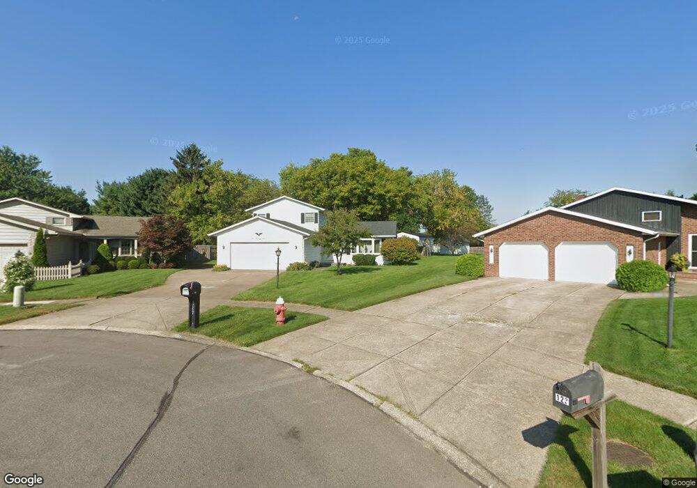
127 Huntington Cir Elyria, OH 44035
Estimated Value: $264,000 - $270,526
4
Beds
2
Baths
1,936
Sq Ft
$138/Sq Ft
Est. Value
About This Home
This home is located at 127 Huntington Cir, Elyria, OH 44035 and is currently estimated at $266,382, approximately $137 per square foot. 127 Huntington Cir is a home located in Lorain County with nearby schools including Windsor Elementary School, Westwood Middle School, and Elyria High School.
Ownership History
Date
Name
Owned For
Owner Type
Purchase Details
Closed on
Jan 10, 2017
Sold by
Nuttall James A
Bought by
Nuttall Katie L and Nuttall Carly A
Current Estimated Value
Purchase Details
Closed on
Jul 20, 1998
Sold by
Smoley Frank T and Smoley Lois E
Bought by
Nuttall James A and Nuttall Jody L
Home Financials for this Owner
Home Financials are based on the most recent Mortgage that was taken out on this home.
Original Mortgage
$110,500
Interest Rate
7.03%
Create a Home Valuation Report for This Property
The Home Valuation Report is an in-depth analysis detailing your home's value as well as a comparison with similar homes in the area
Home Values in the Area
Average Home Value in this Area
Purchase History
We collect this data history from publicly available records. To have your information removed, we recommend requesting removal directly through your county’s website.
| Date | Buyer | Sale Price | Title Company |
|---|---|---|---|
| Nuttall Katie L | -- | -- | |
| Nuttall James A | $130,000 | Guardian Title |
Source: Public Records
Mortgage History
We collect this data history from publicly available records. To have your information removed, we recommend requesting removal directly through your county’s website.
| Date | Status | Borrower | Loan Amount |
|---|---|---|---|
| Closed | Nuttall James A | $110,500 |
Source: Public Records
Tax History
| Year | Tax Paid | Tax Assessment Tax Assessment Total Assessment is a certain percentage of the fair market value that is determined by local assessors to be the total taxable value of land and additions on the property. | Land | Improvement |
|---|---|---|---|---|
| 2024 | $3,748 | $79,202 | $15,768 | $63,434 |
| 2023 | $3,315 | $60,841 | $16,279 | $44,562 |
| 2022 | $3,303 | $60,841 | $16,279 | $44,562 |
| 2021 | $3,311 | $60,841 | $16,279 | $44,562 |
| 2020 | $3,298 | $53,890 | $14,420 | $39,470 |
| 2019 | $3,277 | $53,890 | $14,420 | $39,470 |
| 2018 | $3,283 | $53,890 | $14,420 | $39,470 |
| 2017 | $3,107 | $48,890 | $13,790 | $35,100 |
| 2016 | $3,066 | $48,890 | $13,790 | $35,100 |
| 2015 | $2,872 | $48,890 | $13,790 | $35,100 |
| 2014 | $2,881 | $49,640 | $14,000 | $35,640 |
| 2013 | $2,854 | $49,640 | $14,000 | $35,640 |
Source: Public Records
Map
Nearby Homes
- 116 Winthrop Dr
- 157 Hemlock Dr
- 136 Haydens Arbor
- 231 College Park Dr
- 107 Loyola Dr
- 132 Hillcrest Ln
- 296 Windward Dr
- 152 Woodridge Dr
- 1161 Gulf Rd
- 372 Briar Lake Dr
- 142 Brookvalley Dr
- 175 Crestview Dr
- 236 Northfield Dr
- 110 Edgefield Dr
- 762 Abbe Rd N
- 156 Penrose Ct
- 757 Abbe Rd N
- 322 Windsor Dr
- 189 Alexander Dr
- 556 Eldemire Ln
- 123 Huntington Cir
- 128 Huntington Cir
- 119 Huntington Cir
- 123 Timberlane Dr
- 117 Timberlane Dr
- 124 Huntington Cir
- 127 Timberlane Dr
- 1720 Gulf Rd
- 1726 Gulf Rd
- 113 Timberlane Dr
- 115 Huntington Cir
- 133 Timberlane Dr
- 120 Huntington Cir
- 116 Huntington Cir
- 109 Timberlane Dr
- 137 Timberlane Dr
- 111 Huntington Cir
- 112 Huntington Cir
- 1712 Gulf Rd
- 1708 Gulf Rd
Your Personal Tour Guide
Ask me questions while you tour the home.