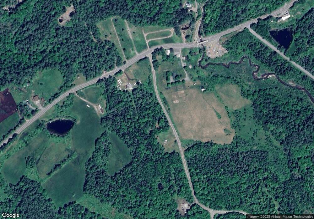
127 Landry Rd Dalton, NH 03598
Estimated Value: $207,000 - $289,828
1
Bed
1
Bath
897
Sq Ft
$287/Sq Ft
Est. Value
About This Home
This home is located at 127 Landry Rd, Dalton, NH 03598 and is currently estimated at $257,207, approximately $286 per square foot. 127 Landry Rd is a home with nearby schools including Whitefield Elementary School and White Mountains Regional High School.
Create a Home Valuation Report for This Property
The Home Valuation Report is an in-depth analysis detailing your home's value as well as a comparison with similar homes in the area
Home Values in the Area
Average Home Value in this Area
Tax History Compared to Growth
Tax History
| Year | Tax Paid | Tax Assessment Tax Assessment Total Assessment is a certain percentage of the fair market value that is determined by local assessors to be the total taxable value of land and additions on the property. | Land | Improvement |
|---|---|---|---|---|
| 2024 | $2,931 | $194,600 | $52,400 | $142,200 |
| 2023 | $2,870 | $194,600 | $52,400 | $142,200 |
| 2022 | $2,811 | $110,000 | $26,200 | $83,800 |
| 2021 | $2,767 | $110,000 | $26,200 | $83,800 |
| 2020 | $2,654 | $110,000 | $26,200 | $83,800 |
| 2019 | $2,625 | $110,000 | $26,200 | $83,800 |
| 2018 | $2,625 | $110,000 | $26,200 | $83,800 |
| 2017 | $2,669 | $105,600 | $38,500 | $67,100 |
| 2016 | $2,549 | $104,100 | $38,500 | $65,600 |
| 2015 | $2,591 | $104,100 | $38,500 | $65,600 |
| 2014 | $2,453 | $101,500 | $38,500 | $63,000 |
| 2013 | $2,287 | $101,500 | $38,500 | $63,000 |
Source: Public Records
Map
Nearby Homes
- 10 Duval Rd
- Lot 10 Landry Rd
- 184 Dalton Rd
- 0 Walker Pit Rd
- 2157 River Rd
- 0 Sugar Wood Ln Unit 8
- Lot 90 Faraway Rd
- 231 Simonds Rd
- 0 Thomas Rd Unit 32.1 5052957
- 0 Evergreen Dr
- 125 Parker Rd
- 9 Haskins Ln
- 4 Ridgeview Terrace
- 640 Baptist Hill Rd
- 34 Perry Rd
- 0 White Rd Unit 86 4954451
- Lot 2 Morel Rd
- 00 Morel Rd
- LOT 1A Morel Rd
- Lot 3 Morel Rd
