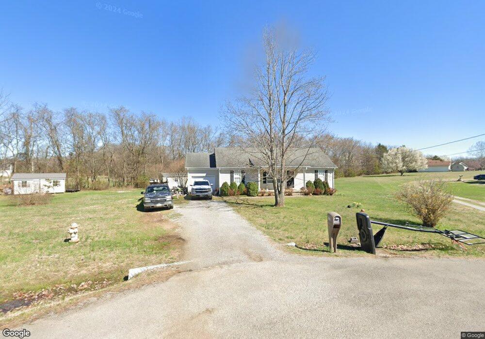
127 Langston Ct Murfreesboro, TN 37128
Estimated Value: $303,399 - $344,000
Studio
2
Baths
1,232
Sq Ft
$268/Sq Ft
Est. Value
About This Home
This home is located at 127 Langston Ct, Murfreesboro, TN 37128 and is currently estimated at $330,350, approximately $268 per square foot. 127 Langston Ct is a home located in Rutherford County with nearby schools including Christiana Elementary School, Christiana Middle School, and Rockvale High School.
Ownership History
Date
Name
Owned For
Owner Type
Purchase Details
Closed on
Oct 27, 1998
Sold by
Tony Whaley
Bought by
Whaley and Stacie
Current Estimated Value
Home Financials for this Owner
Home Financials are based on the most recent Mortgage that was taken out on this home.
Original Mortgage
$87,411
Outstanding Balance
$19,113
Interest Rate
6.61%
Estimated Equity
$311,237
Purchase Details
Closed on
Jul 15, 1997
Sold by
Omes Magnolia H
Bought by
Whaley and Stacie
Home Financials for this Owner
Home Financials are based on the most recent Mortgage that was taken out on this home.
Original Mortgage
$85,919
Interest Rate
7.7%
Create a Home Valuation Report for This Property
The Home Valuation Report is an in-depth analysis detailing your home's value as well as a comparison with similar homes in the area
Home Values in the Area
Average Home Value in this Area
Purchase History
| Date | Buyer | Sale Price | Title Company |
|---|---|---|---|
| Whaley | -- | -- | |
| Whaley | $85,500 | -- |
Source: Public Records
Mortgage History
| Date | Status | Borrower | Loan Amount |
|---|---|---|---|
| Open | Whaley | $87,411 | |
| Previous Owner | Whaley | $85,919 |
Source: Public Records
Tax History
| Year | Tax Paid | Tax Assessment Tax Assessment Total Assessment is a certain percentage of the fair market value that is determined by local assessors to be the total taxable value of land and additions on the property. | Land | Improvement |
|---|---|---|---|---|
| 2025 | $1,197 | $63,800 | $13,750 | $50,050 |
| 2024 | $1,197 | $63,800 | $13,750 | $50,050 |
| 2023 | $1,197 | $63,800 | $13,750 | $50,050 |
| 2022 | $1,040 | $64,350 | $13,750 | $50,600 |
| 2021 | $993 | $44,725 | $8,625 | $36,100 |
| 2020 | $993 | $44,725 | $8,625 | $36,100 |
| 2019 | $993 | $44,725 | $8,625 | $36,100 |
| 2018 | $939 | $44,725 | $0 | $0 |
| 2017 | $838 | $31,250 | $0 | $0 |
| 2016 | $838 | $31,250 | $0 | $0 |
| 2015 | $838 | $31,250 | $0 | $0 |
| 2014 | $777 | $31,250 | $0 | $0 |
| 2013 | -- | $30,925 | $0 | $0 |
Source: Public Records
Map
Nearby Homes
- 5443 Elkanah Ct
- 301 Richmonds Retreat Blvd
- 5401 Vermillion Ct
- 5409 Walnut Farms Blvd
- 5414 Walnut Farms Blvd
- 5418 Walnut Chase Dr
- 5727 Clarity Way
- 5351 Clarity Way
- 5571 Compass Way
- 5213 Clarity Way
- 480 Stones River Ln
- 1008 Glenda Dr
- 113 Copper Leaf Rd
- 490 Stones River Ln
- 110 Copper Leaf Rd
- 5722 Red Cypress Dr
- 5303 Clarity Way
- 5201 Clarity Way
- 277 S Meribeth Ln
- 5209 Clarity Way
- 125 Langston Ct
- 129 Langston Ct
- 7509 Lone Eagle Dr
- 124 Langston Ct
- 7515 Lone Eagle Dr
- 128 Langston Ct
- 121 Langston Ct
- 122 Langston Ct
- 7505 Lone Eagle Dr
- 7519 Lone Eagle Dr
- 106 Tetanka Ct
- 102 Tetanka Ct
- 7512 Lone Eagle Dr
- 117 Langston Ct
- 118 Langston Ct
- 7523 Lone Eagle Dr
- 7518 Lone Eagle Dr
- 7522 Lone Eagle Dr
- 7527 Lone Eagle Dr
- 111 Tetanka Ct
Your Personal Tour Guide
Ask me questions while you tour the home.