127 Linden Ave Alexandria, MN 56308
Estimated Value: $422,000 - $730,315
5
Beds
--
Bath
1,873
Sq Ft
$305/Sq Ft
Est. Value
About This Home
This home is located at 127 Linden Ave, Alexandria, MN 56308 and is currently estimated at $570,329, approximately $304 per square foot. 127 Linden Ave is a home located in Douglas County with nearby schools including Woodland Elementary School, Discovery Middle School, and Alexandria Area High School.
Ownership History
Date
Name
Owned For
Owner Type
Purchase Details
Closed on
Jun 1, 2009
Sold by
Deizoppo David J and Deizoppo Jeanne M
Bought by
Goil John L
Current Estimated Value
Home Financials for this Owner
Home Financials are based on the most recent Mortgage that was taken out on this home.
Original Mortgage
$150,000
Interest Rate
4.83%
Mortgage Type
New Conventional
Create a Home Valuation Report for This Property
The Home Valuation Report is an in-depth analysis detailing your home's value as well as a comparison with similar homes in the area
Home Values in the Area
Average Home Value in this Area
Purchase History
| Date | Buyer | Sale Price | Title Company |
|---|---|---|---|
| Goil John L | $362,500 | None Available |
Source: Public Records
Mortgage History
| Date | Status | Borrower | Loan Amount |
|---|---|---|---|
| Closed | Goil John L | $150,000 |
Source: Public Records
Tax History Compared to Growth
Tax History
| Year | Tax Paid | Tax Assessment Tax Assessment Total Assessment is a certain percentage of the fair market value that is determined by local assessors to be the total taxable value of land and additions on the property. | Land | Improvement |
|---|---|---|---|---|
| 2025 | $6,898 | $677,900 | $241,000 | $436,900 |
| 2024 | $6,898 | $648,900 | $229,500 | $419,400 |
| 2023 | $6,686 | $601,900 | $216,800 | $385,100 |
| 2022 | $5,762 | $535,100 | $208,300 | $326,800 |
| 2021 | $5,424 | $469,400 | $178,500 | $290,900 |
| 2020 | $5,382 | $433,900 | $174,300 | $259,600 |
| 2019 | $5,214 | $417,600 | $170,000 | $247,600 |
| 2018 | $4,932 | $413,100 | $174,300 | $238,800 |
| 2017 | $4,660 | $393,400 | $174,300 | $219,100 |
| 2016 | $4,814 | $371,995 | $164,900 | $207,095 |
| 2015 | $4,768 | $0 | $0 | $0 |
| 2014 | -- | $362,700 | $180,000 | $182,700 |
Source: Public Records
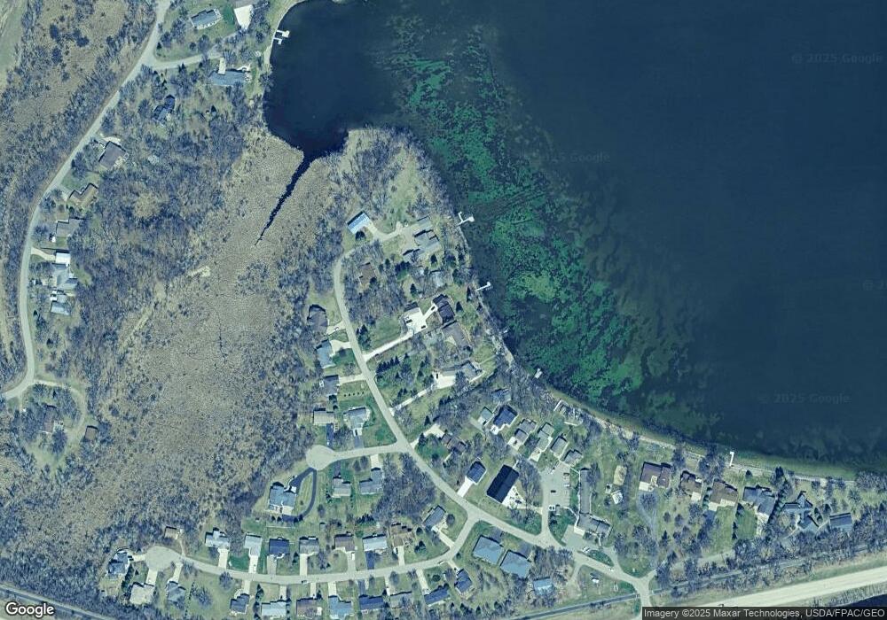
Map
Nearby Homes
- 113 Sumac Dr
- 92 Birch Ave
- 2301 Runestone Dr
- 112 Birch Ave
- 603 Runestone Dr
- 2006 Lake Park Ave
- 217 Viking Place
- 703 Scandia St
- 3411 Pawnee Dr SE
- 286 Rodeo Rd
- 761 Seven Pines St
- 901 Geneva Dr
- 215 N Mckay Ave Unit 59
- 250 Rodeo Rd
- XXX Mckay Ave N
- TBD Birch Ave
- 1610 7th Ave E
- 1106 Birch Ave
- 1024 Thomas Dr NE
- 1004 Thomas Dr NE