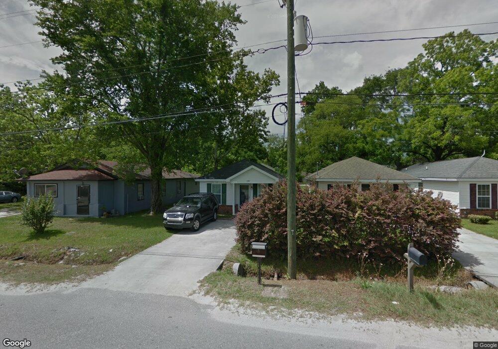
127 Lissner Ave Savannah, GA 31408
Woodville NeighborhoodEstimated Value: $114,000 - $245,000
3
Beds
2
Baths
978
Sq Ft
$186/Sq Ft
Est. Value
About This Home
This home is located at 127 Lissner Ave, Savannah, GA 31408 and is currently estimated at $182,073, approximately $186 per square foot. 127 Lissner Ave is a home located in Chatham County with nearby schools including Otis J. Brock, III Elementary School, Mercer Middle School, and Groves High School.
Ownership History
Date
Name
Owned For
Owner Type
Purchase Details
Closed on
Jun 25, 2008
Sold by
Not Provided
Bought by
Roberts and Freeman Lynda & Emma
Current Estimated Value
Home Financials for this Owner
Home Financials are based on the most recent Mortgage that was taken out on this home.
Original Mortgage
$91,654
Outstanding Balance
$58,648
Interest Rate
6.08%
Mortgage Type
FHA
Estimated Equity
$123,425
Create a Home Valuation Report for This Property
The Home Valuation Report is an in-depth analysis detailing your home's value as well as a comparison with similar homes in the area
Home Values in the Area
Average Home Value in this Area
Purchase History
| Date | Buyer | Sale Price | Title Company |
|---|---|---|---|
| Roberts | $105,000 | -- | |
| Roberts | $105,000 | -- |
Source: Public Records
Mortgage History
| Date | Status | Borrower | Loan Amount |
|---|---|---|---|
| Open | Roberts | $91,654 | |
| Closed | Roberts | $7,500 | |
| Closed | Roberts | $91,654 |
Source: Public Records
Tax History Compared to Growth
Tax History
| Year | Tax Paid | Tax Assessment Tax Assessment Total Assessment is a certain percentage of the fair market value that is determined by local assessors to be the total taxable value of land and additions on the property. | Land | Improvement |
|---|---|---|---|---|
| 2025 | $487 | $60,000 | $16,000 | $44,000 |
| 2024 | $487 | $60,160 | $16,000 | $44,160 |
| 2023 | $550 | $50,400 | $4,680 | $45,720 |
| 2022 | $550 | $45,120 | $2,360 | $42,760 |
| 2021 | $1,274 | $33,840 | $2,360 | $31,480 |
| 2020 | $878 | $33,840 | $2,360 | $31,480 |
| 2019 | $1,313 | $33,840 | $2,360 | $31,480 |
| 2018 | $841 | $32,640 | $2,360 | $30,280 |
| 2017 | $777 | $32,840 | $2,360 | $30,480 |
| 2016 | $760 | $32,360 | $2,360 | $30,000 |
| 2015 | $1,176 | $32,600 | $2,240 | $30,360 |
| 2014 | $1,551 | $33,080 | $0 | $0 |
Source: Public Records
Map
Nearby Homes
- 109 Kingman Ave
- 31 Lissner Ave
- 248 Fair St
- 124 Wright St
- 0 Fair St
- 26 Albion St
- 121 Roberts St
- 156 Darling St
- 0 Roberts St Unit SA344423
- 117 Darling St
- 3503 Haslam Ave
- 2102 Patch St
- 1725 Dunn St
- 2016 Eppinger St
- 2011 Gugel St
- 207 Cleland Ave
- 501 Tuten Ave
- 4009 4th St
- 1525 New Castle St
- 0 Old Louisville Rd Unit SA333709