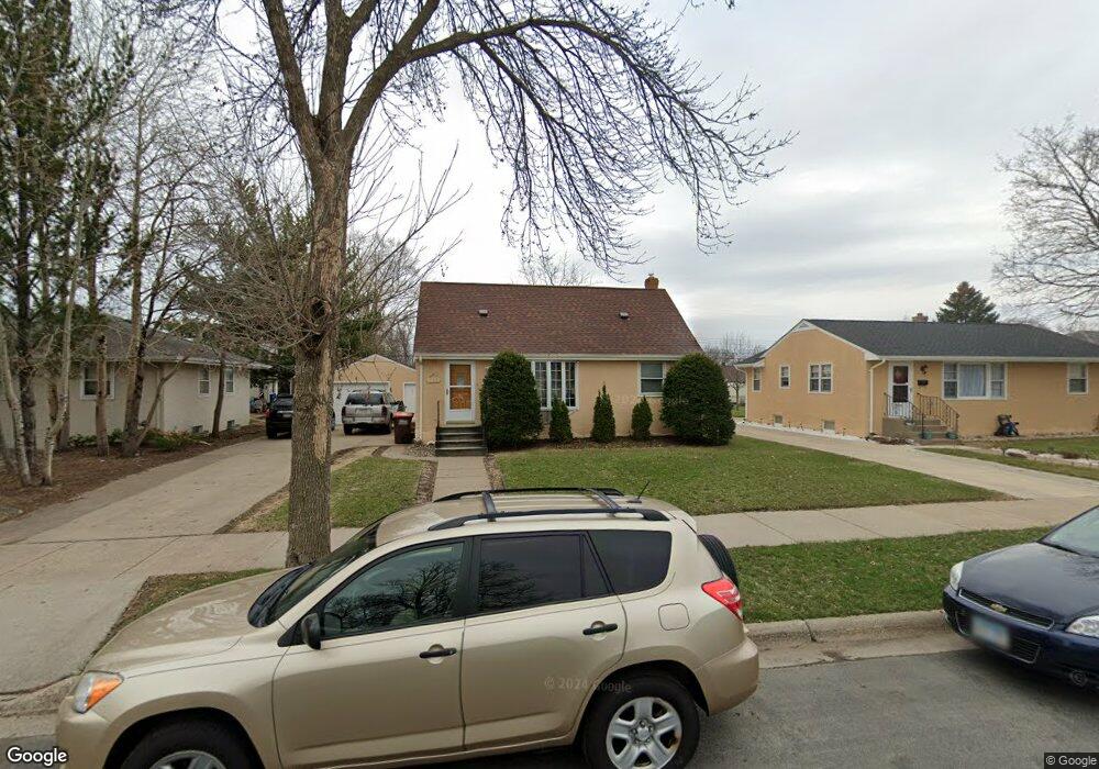
127 Macarthur St W South Saint Paul, MN 55075
Estimated Value: $291,000 - $304,000
3
Beds
2
Baths
960
Sq Ft
$310/Sq Ft
Est. Value
About This Home
This home is located at 127 Macarthur St W, South Saint Paul, MN 55075 and is currently estimated at $297,894, approximately $310 per square foot. 127 Macarthur St W is a home located in Dakota County with nearby schools including Kaposia Education Center Elementary, South St. Paul Secondary, and Discovery Charter School.
Ownership History
Date
Name
Owned For
Owner Type
Purchase Details
Closed on
Jun 26, 2020
Sold by
Ramirez Rangel Vicente and Lemus Ma Guadalupe
Bought by
Ramirez Rangel Vicente and Lemus Ma Guadalupe
Current Estimated Value
Create a Home Valuation Report for This Property
The Home Valuation Report is an in-depth analysis detailing your home's value as well as a comparison with similar homes in the area
Home Values in the Area
Average Home Value in this Area
Purchase History
| Date | Buyer | Sale Price | Title Company |
|---|---|---|---|
| Ramirez Rangel Vicente | -- | Premier Title Ins Agcy Inc |
Source: Public Records
Tax History Compared to Growth
Tax History
| Year | Tax Paid | Tax Assessment Tax Assessment Total Assessment is a certain percentage of the fair market value that is determined by local assessors to be the total taxable value of land and additions on the property. | Land | Improvement |
|---|---|---|---|---|
| 2024 | $3,602 | $263,800 | $79,400 | $184,400 |
| 2023 | $3,602 | $257,400 | $79,800 | $177,600 |
| 2022 | $3,200 | $260,400 | $79,800 | $180,600 |
| 2021 | $2,922 | $229,900 | $69,400 | $160,500 |
| 2020 | $2,670 | $220,700 | $66,100 | $154,600 |
| 2019 | $2,368 | $208,700 | $62,900 | $145,800 |
| 2018 | $2,250 | $181,300 | $57,200 | $124,100 |
| 2017 | $1,944 | $167,400 | $54,500 | $112,900 |
| 2016 | $1,946 | $151,700 | $49,600 | $102,100 |
| 2015 | $1,795 | $122,336 | $39,442 | $82,894 |
| 2014 | -- | $119,611 | $39,233 | $80,378 |
| 2013 | -- | $106,967 | $33,554 | $73,413 |
Source: Public Records
Map
Nearby Homes
- 101 Frost St W
- 137 South St E
- 1436 5th Ave S
- 233 Richmond St W
- 1456 6th Ave S
- 1215 8th Ave S
- 100 W Warburton St
- 1434 8th Ave S
- 151 Park St W
- 1127 9th Ave S
- 5472 Bryce Ave
- 1403 Concord St S Unit 1
- 6050 Cahill Ave
- 928 8th Ave S
- 5938 Burke Trail
- 5903 Bryant Ln
- 5870 Blackberry Bridge Path
- 4970 Boyd Ave
- 6051 Concord Blvd
- 6445 Coryell Ct
- 127 127 MacArthur St W
- 121 Macarthur St W
- 133 Macarthur St W
- 115 Macarthur St W
- 139 Macarthur St W
- 126 Poplar St W
- 120 Poplar St W
- 132 Poplar St W
- 145 145 MacArthur-street-w
- 109 Macarthur St W
- 145 Macarthur St W
- 114 Poplar St W
- 136 Poplar St W
- 126 Macarthur St W
- 136 Poplar St W
- 132 Macarthur St W
- 120 Macarthur St W
- 108 Poplar St W
- 144 Poplar St W
- 138 Macarthur St W