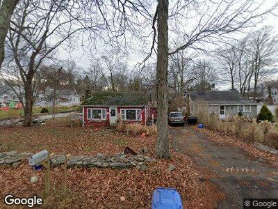
127 N Main St Marlborough, CT 06447
Marlborough NeighborhoodEstimated Value: $237,000 - $356,000
2
Beds
1
Bath
1,128
Sq Ft
$260/Sq Ft
Est. Value
About This Home
This home is located at 127 N Main St, Marlborough, CT 06447 and is currently estimated at $293,567, approximately $260 per square foot. 127 N Main St is a home located in Hartford County with nearby schools including Elmer Thienes-Mary Hall Elementary School, RHAM Middle School, and RHAM High School.
Ownership History
Date
Name
Owned For
Owner Type
Purchase Details
Closed on
Sep 20, 1999
Sold by
Lyon Alan
Bought by
Batchelder Pamela
Current Estimated Value
Home Financials for this Owner
Home Financials are based on the most recent Mortgage that was taken out on this home.
Original Mortgage
$97,950
Interest Rate
7.83%
Create a Home Valuation Report for This Property
The Home Valuation Report is an in-depth analysis detailing your home's value as well as a comparison with similar homes in the area
Home Values in the Area
Average Home Value in this Area
Purchase History
| Date | Buyer | Sale Price | Title Company |
|---|---|---|---|
| Batchelder Pamela | $74,000 | -- | |
| Batchelder Pamela | $74,000 | -- |
Source: Public Records
Mortgage History
| Date | Status | Borrower | Loan Amount |
|---|---|---|---|
| Open | Batchelder Pamela D | $5,866 | |
| Open | Batchelder Pamela | $97,950 | |
| Closed | Batchelder Pamela | $14,645 | |
| Closed | Batchelder Pamela | $118,581 | |
| Closed | Batchelder Pamela | $97,950 |
Source: Public Records
Tax History Compared to Growth
Tax History
| Year | Tax Paid | Tax Assessment Tax Assessment Total Assessment is a certain percentage of the fair market value that is determined by local assessors to be the total taxable value of land and additions on the property. | Land | Improvement |
|---|---|---|---|---|
| 2024 | $4,249 | $117,090 | $60,810 | $56,280 |
| 2023 | $4,067 | $117,090 | $60,810 | $56,280 |
| 2022 | $4,163 | $117,090 | $60,810 | $56,280 |
| 2021 | $4,197 | $117,090 | $60,810 | $56,280 |
| 2020 | $4,069 | $112,190 | $60,810 | $51,380 |
| 2019 | $4,180 | $112,210 | $60,830 | $51,380 |
| 2018 | $4,098 | $112,210 | $60,830 | $51,380 |
| 2017 | $3,979 | $112,210 | $60,830 | $51,380 |
| 2016 | $3,832 | $112,210 | $60,830 | $51,380 |
| 2015 | $3,338 | $101,500 | $49,000 | $52,500 |
| 2014 | $3,192 | $101,500 | $49,000 | $52,500 |
Source: Public Records
Map
Nearby Homes
- 39 Lafayette Rd
- 69 Roberts Rd
- 36 E Hampton Rd
- 51 Hebron Rd
- 45 Cheyenne Ct
- 7 Sachem Dr Unit 7
- 36 Portland Rd
- 16 Emily Rd
- 81 West Rd
- 138 Flood Rd
- Homesite 12 Quinn's Way
- 3 Quinn Rd
- 2 Quinn Rd
- 5 Quinn Rd
- 109 Mott Hill Rd
- 296 Jones Hollow Rd
- 55 Blue Heron Dr
- 25 Mohawk Trail
- 16 Hidden Woods Dr
- 79 Spellman Point Rd
- 127 N Main St
- 129 N Main St Unit 131
- 10 Washington Rd
- 15 Washington Rd
- 16 Washington Rd
- 128 N Main St
- 11 Pettengill Rd
- 132 N Main St
- 117 N Main St
- 17 Washington Rd
- 10 Pettengill Rd
- 10A Pettengill Rd Unit 10A
- 10A Pettengill Rd
- 9 Pettengill Rd
- 136 N Main St
- 115 N Main St
- 25 Washington Rd
- 8 Lafayette Rd
- 33 Washington Rd
- 19 Washington Rd