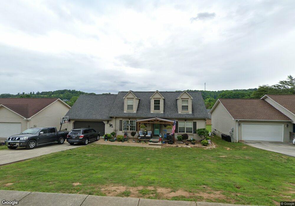
127 Newport Way Kingston, TN 37763
Estimated Value: $315,811 - $379,000
--
Bed
3
Baths
1,560
Sq Ft
$218/Sq Ft
Est. Value
About This Home
This home is located at 127 Newport Way, Kingston, TN 37763 and is currently estimated at $339,953, approximately $217 per square foot. 127 Newport Way is a home located in Roane County with nearby schools including Kingston Elementary School, Midtown Elementary School, and Midway Elementary School.
Ownership History
Date
Name
Owned For
Owner Type
Purchase Details
Closed on
Nov 17, 2008
Sold by
Vann Harry M
Bought by
Kloefkorn Andrew D
Current Estimated Value
Purchase Details
Closed on
Jul 31, 2007
Sold by
Michael Hayes James
Bought by
Vann Harry M and Gayle Lyda
Purchase Details
Closed on
Jul 18, 1997
Bought by
Hayes James Michael and Cynt Hia M
Purchase Details
Closed on
Dec 10, 1996
Sold by
Centerbury L P
Bought by
Dennis Shirran
Purchase Details
Closed on
Feb 25, 1993
Bought by
Centerbury L P
Create a Home Valuation Report for This Property
The Home Valuation Report is an in-depth analysis detailing your home's value as well as a comparison with similar homes in the area
Home Values in the Area
Average Home Value in this Area
Purchase History
| Date | Buyer | Sale Price | Title Company |
|---|---|---|---|
| Kloefkorn Andrew D | $179,375 | -- | |
| Vann Harry M | $162,000 | -- | |
| Hayes James Michael | $113,500 | -- | |
| Dennis Shirran | $7,200 | -- | |
| Centerbury L P | -- | -- |
Source: Public Records
Tax History Compared to Growth
Tax History
| Year | Tax Paid | Tax Assessment Tax Assessment Total Assessment is a certain percentage of the fair market value that is determined by local assessors to be the total taxable value of land and additions on the property. | Land | Improvement |
|---|---|---|---|---|
| 2024 | -- | $42,900 | $6,250 | $36,650 |
| 2023 | $1,566 | $42,900 | $6,250 | $36,650 |
| 2022 | $1,566 | $42,900 | $6,250 | $36,650 |
| 2021 | $1,596 | $42,900 | $6,250 | $36,650 |
| 2020 | $1,594 | $42,900 | $6,250 | $36,650 |
| 2019 | $1,572 | $38,675 | $6,750 | $31,925 |
| 2018 | $1,534 | $38,675 | $6,750 | $31,925 |
| 2017 | $1,534 | $38,675 | $6,750 | $31,925 |
| 2016 | $1,534 | $38,675 | $6,750 | $31,925 |
| 2015 | $973 | $38,675 | $6,750 | $31,925 |
| 2013 | -- | $41,625 | $6,750 | $34,875 |
Source: Public Records
Map
Nearby Homes
- 131 Newport Way
- 103 Newport Way
- 165 Newport Way
- 104 Newport Way
- 60 Bradford Village Way
- 124 Hartford Village Way
- 208 High Pointe Village Way
- 117 Hensley Rd
- 201 High Pointe Village Way
- 2414 Grand View Ct
- 2412 Grand View Ct
- 2432 Grand View Ct
- 0 Old James Ferry Rd
- 0 James Ferry Rd Unit 1292800
- 314 Woodlawn Dr
- 213 Willowbrook Dr
- 1218 S Kentucky St
- 107 Hillcrest Ln
- 0 Decatur Hwy
- 1128 Brentwood Point
- 123 Newport Way
- 108 Newport Point
- 112 Newport Point
- 119 Newport Way
- 104 Newport Point
- 132 Newport Way
- 120 Newport Way
- 100 Newport Point
- 115 Newport Way
- 116 Newport Way
- 111 Newport Point
- 236 Village Way
- 160 Newport Way
- 164 Newport Way
- 107 Newport Point
- 111 Newport Way
- 154 Newport Way
- 168 Newport Way
- 168 Newport Way Unit Lot 106
- 112 Newport Way