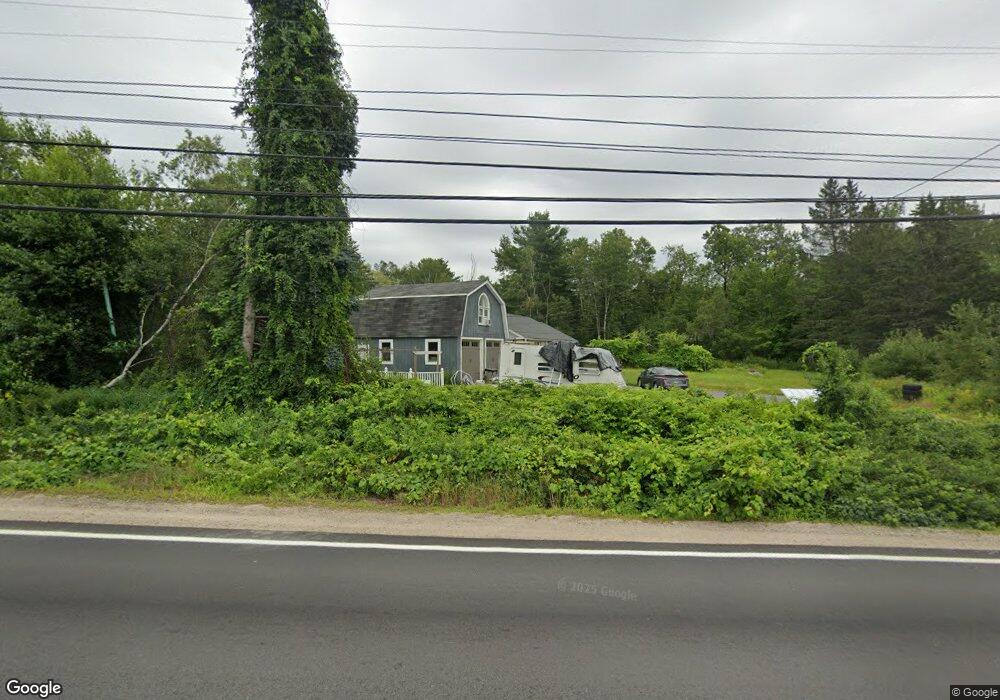
127 Nh Route 25 Meredith, NH 03253
Estimated Value: $551,897 - $800,000
3
Beds
2
Baths
2,478
Sq Ft
$271/Sq Ft
Est. Value
About This Home
This home is located at 127 Nh Route 25, Meredith, NH 03253 and is currently estimated at $671,224, approximately $270 per square foot. 127 Nh Route 25 is a home located in Belknap County with nearby schools including Inter-Lakes Elementary School and Immaculate Conception Apostolic School.
Ownership History
Date
Name
Owned For
Owner Type
Purchase Details
Closed on
Feb 29, 2016
Sold by
Snow Areta
Bought by
127 Route 25 Llc
Current Estimated Value
Purchase Details
Closed on
Apr 18, 2014
Sold by
Estey Alice P and Fnma
Bought by
Federal National Mortgage Association
Create a Home Valuation Report for This Property
The Home Valuation Report is an in-depth analysis detailing your home's value as well as a comparison with similar homes in the area
Home Values in the Area
Average Home Value in this Area
Purchase History
| Date | Buyer | Sale Price | Title Company |
|---|---|---|---|
| 127 Route 25 Llc | -- | -- | |
| Federal National Mortgage Association | $157,000 | -- |
Source: Public Records
Mortgage History
| Date | Status | Borrower | Loan Amount |
|---|---|---|---|
| Previous Owner | Federal National Mortgage Association | $140,000 |
Source: Public Records
Tax History Compared to Growth
Tax History
| Year | Tax Paid | Tax Assessment Tax Assessment Total Assessment is a certain percentage of the fair market value that is determined by local assessors to be the total taxable value of land and additions on the property. | Land | Improvement |
|---|---|---|---|---|
| 2024 | $4,134 | $402,900 | $102,300 | $300,600 |
| 2023 | $3,985 | $402,900 | $102,300 | $300,600 |
| 2022 | $4,144 | $296,600 | $73,200 | $223,400 |
| 2021 | $3,983 | $296,600 | $73,200 | $223,400 |
| 2020 | $4,158 | $296,600 | $73,200 | $223,400 |
| 2019 | $4,073 | $256,300 | $53,800 | $202,500 |
| 2018 | $3,911 | $250,400 | $53,800 | $196,600 |
| 2016 | $3,578 | $229,500 | $52,500 | $177,000 |
| 2015 | $3,488 | $229,500 | $52,500 | $177,000 |
| 2014 | $3,403 | $229,500 | $52,500 | $177,000 |
| 2013 | $3,307 | $229,500 | $52,500 | $177,000 |
Source: Public Records
Map
Nearby Homes
- 111 Nh Route 25
- 142 Nh Route 25
- 20 True Rd Unit 85
- 20 True Rd Unit 101
- 20 True Rd Unit 63
- 7 Mudgett Ave
- 36 Circle Dr
- 8 Kelly Ln
- 21 Pleasant St
- 32 Boynton Rd
- 99 Pleasant St
- 11 Highland St
- 15 Highland St
- 12 Highland St
- 11 & 12 Highland St
- 8 Water St Unit 2
- 00 Gilman Hill Rd Unit 1
- 4 Pike Island Rd
- 26 Sawmill Shores Rd
- 70 Pinnacle Park Rd
- 127 Nh Route 25
- 127 Route 25
- 1 Barnard Ridge Rd
- 7 Barnard Ridge Rd
- 121 Nh Route 25 Unit 2
- 121 Nh Route 25 Unit 6
- 121 Nh Route 25 Unit 5
- 121 Nh Route 25 Unit 3
- 121 Nh Route 25 Unit 4
- 121 Nh Route 25 Unit 4
- 121 Nh Route 25 Unit 4
- 121 Nh Route 25 Unit 3
- 121 Nh Route 25
- 121 Nh Route 25
- 121 Nh Route 25 Unit 2
- 121 Nh Route 25 Unit 4
- 121 Nh Route 25 Unit 5
- 121 Nh Route 25 Unit 3
- 121 Nh Route 25 Unit 6
- 121 Nh Route 25 Unit 3