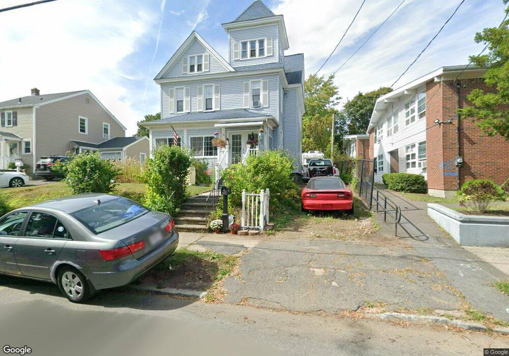
127 Nonotuck St Holyoke, MA 01040
Estimated Value: $244,000 - $366,600
4
Beds
2
Baths
3,055
Sq Ft
$94/Sq Ft
Est. Value
About This Home
This home is located at 127 Nonotuck St, Holyoke, MA 01040 and is currently estimated at $287,650, approximately $94 per square foot. 127 Nonotuck St is a home located in Hampden County with nearby schools including Lt. Elmer J. McMahon Elementary School, Holyoke High School, and Mater Dolorosa Elementary School.
Ownership History
Date
Name
Owned For
Owner Type
Purchase Details
Closed on
Jun 4, 2001
Sold by
Coffelt Jean A
Bought by
Gerena Dionisio and Gerena Alwida
Current Estimated Value
Home Financials for this Owner
Home Financials are based on the most recent Mortgage that was taken out on this home.
Original Mortgage
$78,200
Outstanding Balance
$29,679
Interest Rate
7.09%
Mortgage Type
Purchase Money Mortgage
Estimated Equity
$257,971
Create a Home Valuation Report for This Property
The Home Valuation Report is an in-depth analysis detailing your home's value as well as a comparison with similar homes in the area
Home Values in the Area
Average Home Value in this Area
Purchase History
| Date | Buyer | Sale Price | Title Company |
|---|---|---|---|
| Gerena Dionisio | $82,500 | -- |
Source: Public Records
Mortgage History
| Date | Status | Borrower | Loan Amount |
|---|---|---|---|
| Open | Gerena Dionisio | $78,200 | |
| Previous Owner | Gerena Dionisio | $25,954 | |
| Previous Owner | Gerena Dionisio | $35,500 |
Source: Public Records
Tax History Compared to Growth
Tax History
| Year | Tax Paid | Tax Assessment Tax Assessment Total Assessment is a certain percentage of the fair market value that is determined by local assessors to be the total taxable value of land and additions on the property. | Land | Improvement |
|---|---|---|---|---|
| 2025 | $3,611 | $206,800 | $42,000 | $164,800 |
| 2024 | $3,301 | $174,200 | $39,900 | $134,300 |
| 2023 | $3,157 | $168,300 | $39,900 | $128,400 |
| 2022 | $3,033 | $157,500 | $39,900 | $117,600 |
| 2021 | $8,450 | $147,600 | $36,200 | $111,400 |
| 2020 | $2,696 | $141,300 | $36,200 | $105,100 |
| 2019 | $2,502 | $129,700 | $30,800 | $98,900 |
| 2018 | $8,601 | $124,500 | $30,800 | $93,700 |
| 2017 | $2,387 | $124,500 | $30,800 | $93,700 |
| 2016 | $2,390 | $125,000 | $30,800 | $94,200 |
| 2015 | $2,380 | $125,000 | $30,800 | $94,200 |
Source: Public Records
Map
Nearby Homes
- 1421 Dwight St
- 1114 Hampden St
- 391 Pleasant St
- 66 Taylor St
- 9-11 Arlington St
- 1225 Hampden St
- 12 Saint James Ave
- 165 Lincoln St
- 68 Shawmut Ave
- 996 Dwight St
- 12 School St
- 68 Fairfield Ave
- 129 Morgan St
- 49 Linden St
- 20 Linden St
- 267-269 Sargeant St
- 50 Nonotuck St
- 268-270 Sargeant St
- 1678 Northampton St
- 146 Beech St
- 129 Nonotuck St
- 126 Waldo St Unit 128
- 23 Beacon Ave
- 122 Waldo St
- 130 Waldo St Unit 132
- 130-132 Waldo St
- 130 Nonotuck St
- 130 Nonotuck St Unit 3
- 130 Nonotuck St Unit B
- 116 Waldo St
- 29 Beacon Ave
- 132 Nonotuck St
- 970 Hampden St
- 21 Beacon Ave
- 31 Beacon Ave
- 980 Hampden St Unit 982
- 930 Hampden St
- 19 Beacon Ave
- 131-133 Waldo St
- 133 Waldo St