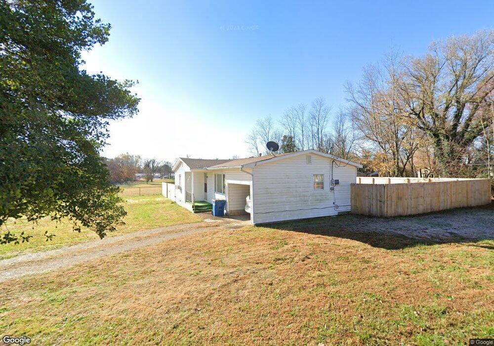
127 Price St Pea Ridge, AR 72751
Estimated Value: $170,387 - $236,000
--
Bed
1
Bath
915
Sq Ft
$220/Sq Ft
Est. Value
About This Home
This home is located at 127 Price St, Pea Ridge, AR 72751 and is currently estimated at $200,847, approximately $219 per square foot. 127 Price St is a home located in Benton County with nearby schools including Pea Ridge Intermediate School, Pea Ridge Primary School, and Pea Ridge Middle School.
Ownership History
Date
Name
Owned For
Owner Type
Purchase Details
Closed on
Apr 18, 2019
Sold by
Cecil M Jennings Trust
Bought by
Jennings Deanna Ruth
Current Estimated Value
Purchase Details
Closed on
Feb 10, 2011
Bought by
Dod 2 and Dod 10
Purchase Details
Closed on
Nov 13, 2000
Bought by
Jennings
Purchase Details
Closed on
May 17, 1994
Bought by
Cothran
Purchase Details
Closed on
May 26, 1989
Bought by
Dod Dod 5 and Dod 26
Purchase Details
Closed on
Nov 27, 1985
Bought by
Hickman
Purchase Details
Closed on
May 17, 1974
Bought by
Biggins
Create a Home Valuation Report for This Property
The Home Valuation Report is an in-depth analysis detailing your home's value as well as a comparison with similar homes in the area
Home Values in the Area
Average Home Value in this Area
Purchase History
| Date | Buyer | Sale Price | Title Company |
|---|---|---|---|
| Jennings Deanna Ruth | -- | None Available | |
| Dod 2 | -- | -- | |
| Jennings | $51,000 | -- | |
| Cothran | -- | -- | |
| Cothran | -- | -- | |
| Cothran | -- | -- | |
| Dod Dod 5 | -- | -- | |
| Hickman | -- | -- | |
| Biggins | -- | -- |
Source: Public Records
Tax History Compared to Growth
Tax History
| Year | Tax Paid | Tax Assessment Tax Assessment Total Assessment is a certain percentage of the fair market value that is determined by local assessors to be the total taxable value of land and additions on the property. | Land | Improvement |
|---|---|---|---|---|
| 2025 | $537 | $25,312 | $10,000 | $15,312 |
| 2024 | $665 | $25,312 | $10,000 | $15,312 |
| 2023 | $633 | $15,320 | $3,800 | $11,520 |
| 2022 | $257 | $15,320 | $3,800 | $11,520 |
| 2021 | $223 | $15,320 | $3,800 | $11,520 |
| 2020 | $214 | $9,680 | $2,800 | $6,880 |
| 2019 | $214 | $9,680 | $2,800 | $6,880 |
| 2018 | $589 | $9,680 | $2,800 | $6,880 |
| 2017 | $551 | $9,680 | $2,800 | $6,880 |
| 2016 | $551 | $9,680 | $2,800 | $6,880 |
| 2015 | $509 | $8,940 | $3,000 | $5,940 |
| 2014 | $509 | $8,940 | $3,000 | $5,940 |
Source: Public Records
Map
Nearby Homes
- 1809 Abbott Ln
- 2000 Decker Rd
- 2310 Carper Ln
- 646 Lynn Dr
- 403 N Curtis Ave
- 340 Baker St
- 1051 Asboth St
- 339 N Davis St
- 117 Van Dorn St
- 296 Van Dorn St
- 825 Baker St
- 745 Harrison St
- 378 Lee Town Rd
- 287 Mcintosh St
- 625 Eagle Crest
- 264 Mcintosh St
- 820 Eagle Crest
- 1285 Weston St
- 195 W Pickens Rd
- 108 Dobson St