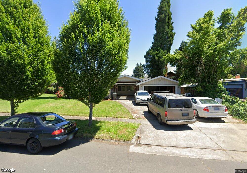
127 Roan Dr Eugene, OR 97401
Harlow NeighborhoodEstimated Value: $483,000 - $613,000
4
Beds
2
Baths
1,831
Sq Ft
$296/Sq Ft
Est. Value
About This Home
This home is located at 127 Roan Dr, Eugene, OR 97401 and is currently estimated at $542,270, approximately $296 per square foot. 127 Roan Dr is a home located in Lane County with nearby schools including Holt Elementary School, Monroe Middle School, and Sheldon High School.
Ownership History
Date
Name
Owned For
Owner Type
Purchase Details
Closed on
Sep 14, 2012
Sold by
Brandenfels Alan
Bought by
Brandenfels Elizabeth Jeannette
Current Estimated Value
Purchase Details
Closed on
Jun 3, 2002
Sold by
Bank Of New York
Bought by
Brandenfels Alan
Purchase Details
Closed on
Oct 5, 2001
Sold by
Brant Terry D and Brant Clara D
Bought by
Bank Of New York
Create a Home Valuation Report for This Property
The Home Valuation Report is an in-depth analysis detailing your home's value as well as a comparison with similar homes in the area
Home Values in the Area
Average Home Value in this Area
Purchase History
| Date | Buyer | Sale Price | Title Company |
|---|---|---|---|
| Brandenfels Elizabeth Jeannette | -- | None Available | |
| Brandenfels Alan | $93,157 | Evergreen Land Title Co | |
| Bank Of New York | $123,378 | Western Pioneer Title Co |
Source: Public Records
Tax History
| Year | Tax Paid | Tax Assessment Tax Assessment Total Assessment is a certain percentage of the fair market value that is determined by local assessors to be the total taxable value of land and additions on the property. | Land | Improvement |
|---|---|---|---|---|
| 2025 | $4,916 | $252,335 | -- | -- |
| 2024 | $4,855 | $244,986 | -- | -- |
| 2023 | $4,855 | $237,851 | -- | -- |
| 2022 | $4,549 | $230,924 | $0 | $0 |
| 2021 | $4,272 | $224,199 | $0 | $0 |
| 2020 | $4,287 | $217,669 | $0 | $0 |
| 2019 | $4,141 | $211,330 | $0 | $0 |
| 2018 | $3,898 | $199,199 | $0 | $0 |
| 2017 | $3,723 | $199,199 | $0 | $0 |
| 2016 | $3,631 | $193,397 | $0 | $0 |
| 2015 | $3,526 | $187,764 | $0 | $0 |
| 2014 | $3,455 | $182,295 | $0 | $0 |
Source: Public Records
Map
Nearby Homes
- 280 Roan Dr
- 349 van Duyn St
- 2994 Dapple Way
- 280 Regal Ct
- 2746 Norbert Ln
- 394 Cherry Dr
- 327 Rustic Place Unit 35
- 2746 Harlow Rd
- 2872 Suffolk Ct
- 367 Rustic Place Unit 44
- 600 Cherry Dr Unit 8
- 600 Cherry Dr Unit 3
- 347 Rustic Place Unit 14
- 825 Waverly St
- 2345 Pioneer Pike
- 950 Coburg Rd
- 1130 Anderson Ln
- 1450 W Quinalt St
- 1310 W Quinalt St
- 1090 Corydon St
- 133 Roan Dr
- 109 Roan Dr
- 134 Sunshine Acres Dr
- 159 Roan Dr
- 3224 Sorrel Way
- 128 Sunshine Acres Dr
- 3212 Sorrel Way
- 144 Sunshine Acres Dr
- 164 Sunshine Acres Dr
- 108 Roan Dr
- 3218 Sorrel Way
- 173 Roan Dr
- 3200 Sorrel Way
- 146 Roan Dr
- 124 Sunshine Acres Dr
- 194 Sunshine Acres Dr
- 3196 Sorrel Way
- 189 Roan Dr
- 190 Sunshine Acres Dr
Your Personal Tour Guide
Ask me questions while you tour the home.