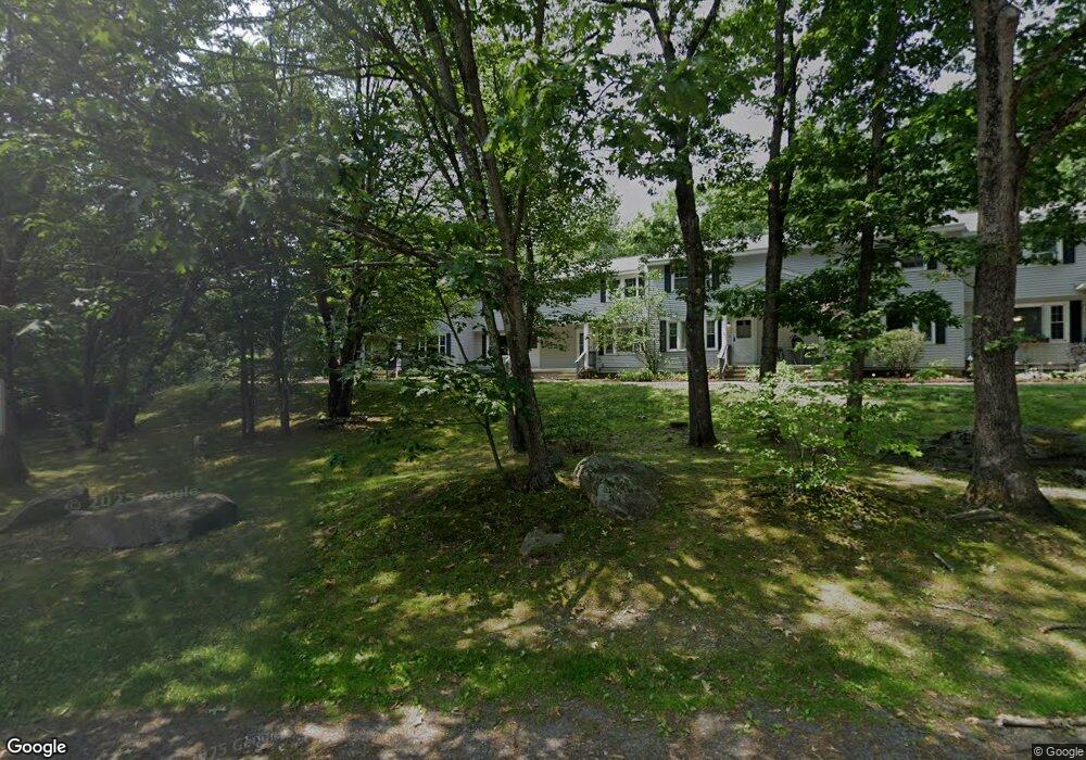
127 Sandstone Cir Unit 127 Londonderry, NH 03053
Estimated Value: $294,000 - $309,000
2
Beds
2
Baths
1,180
Sq Ft
$255/Sq Ft
Est. Value
About This Home
This home is located at 127 Sandstone Cir Unit 127, Londonderry, NH 03053 and is currently estimated at $300,938, approximately $255 per square foot. 127 Sandstone Cir Unit 127 is a home located in Rockingham County with nearby schools including Londonderry Middle School, Londonderry Senior High School, and Southern New Hampshire Montessori Academy.
Ownership History
Date
Name
Owned For
Owner Type
Purchase Details
Closed on
Feb 17, 2017
Sold by
Mckinnon Denise M
Bought by
Denise M Mckinnon Ret and Mckinnon
Current Estimated Value
Purchase Details
Closed on
Jul 30, 2010
Sold by
Kay Steven T and Fnma
Bought by
Federal National Mortgage Association
Purchase Details
Closed on
Sep 10, 2003
Sold by
Awad Ghassan
Bought by
Kay Steven T and Kay Diane M
Home Financials for this Owner
Home Financials are based on the most recent Mortgage that was taken out on this home.
Original Mortgage
$135,700
Interest Rate
6.22%
Mortgage Type
Purchase Money Mortgage
Purchase Details
Closed on
Apr 2, 2001
Sold by
Gleason Karen L
Bought by
Awad Ghassan
Home Financials for this Owner
Home Financials are based on the most recent Mortgage that was taken out on this home.
Original Mortgage
$84,900
Interest Rate
6.96%
Create a Home Valuation Report for This Property
The Home Valuation Report is an in-depth analysis detailing your home's value as well as a comparison with similar homes in the area
Home Values in the Area
Average Home Value in this Area
Purchase History
| Date | Buyer | Sale Price | Title Company |
|---|---|---|---|
| Denise M Mckinnon Ret | -- | -- | |
| Federal National Mortgage Association | $110,700 | -- | |
| Kay Steven T | $139,900 | -- | |
| Awad Ghassan | $86,900 | -- |
Source: Public Records
Mortgage History
| Date | Status | Borrower | Loan Amount |
|---|---|---|---|
| Previous Owner | Awad Ghassan | $135,700 | |
| Previous Owner | Awad Ghassan | $84,900 |
Source: Public Records
Tax History Compared to Growth
Tax History
| Year | Tax Paid | Tax Assessment Tax Assessment Total Assessment is a certain percentage of the fair market value that is determined by local assessors to be the total taxable value of land and additions on the property. | Land | Improvement |
|---|---|---|---|---|
| 2024 | $3,895 | $241,300 | $0 | $241,300 |
| 2023 | $3,776 | $241,300 | $0 | $241,300 |
| 2022 | $3,552 | $192,200 | $0 | $192,200 |
| 2021 | $3,533 | $192,200 | $0 | $192,200 |
| 2020 | $3,276 | $162,900 | $0 | $162,900 |
| 2019 | $3,159 | $162,900 | $0 | $162,900 |
| 2018 | $2,751 | $126,200 | $0 | $126,200 |
| 2017 | $2,219 | $102,700 | $0 | $102,700 |
| 2016 | $2,208 | $102,700 | $0 | $102,700 |
| 2015 | $2,159 | $102,700 | $0 | $102,700 |
| 2014 | $2,166 | $102,700 | $0 | $102,700 |
| 2011 | -- | $118,400 | $0 | $118,400 |
Source: Public Records
Map
Nearby Homes
- 74 Boulder Dr Unit 74
- 14 Mohawk Dr
- 5 Elise Ave Unit Lot 94
- 14 Reed St
- 1 Lily Ln
- 19 Lily Ln
- 17 Lily Ln
- 11 Midridge Cir Unit 116
- 27 Midridge Cir
- 31 Midridge Cir
- 171 Londonderry Rd
- 34 Pleasant Dr
- 7 Oakwood St
- 111 Winterwood Dr
- 12 Morrison Dr
- 149 Londonderry Rd
- 47 Winding Pond Rd
- 214 Winding Pond Rd
- 3 Elise Ave Unit 95
- 14 Elise Ave Unit 7
- 126 Sandstone Cir Unit 126
- 126 Sandstone Cir
- 128 Sandstone Cir
- 125 Sandstone Cir
- 129 Sandstone Cir
- 123 Sandstone Cir
- 123 Sandstone Cir Unit 123
- 132 Sandstone Cir Unit 132
- 132 Sandstone Cir
- 121 Sandstone Cir Unit 121
- 119 Sandstone Cir
- 117 Sandstone Cir
- 117 Sandstone Cir Unit 117
- 34 Boulder Dr
- 32 Boulder Dr Unit 32
- 32 Boulder Dr
- 30 Boulder Dr Unit 30
- 23 Holly Ln
- 23 Holly Ln Unit 23
- 107 Sandstone Cir Unit 107