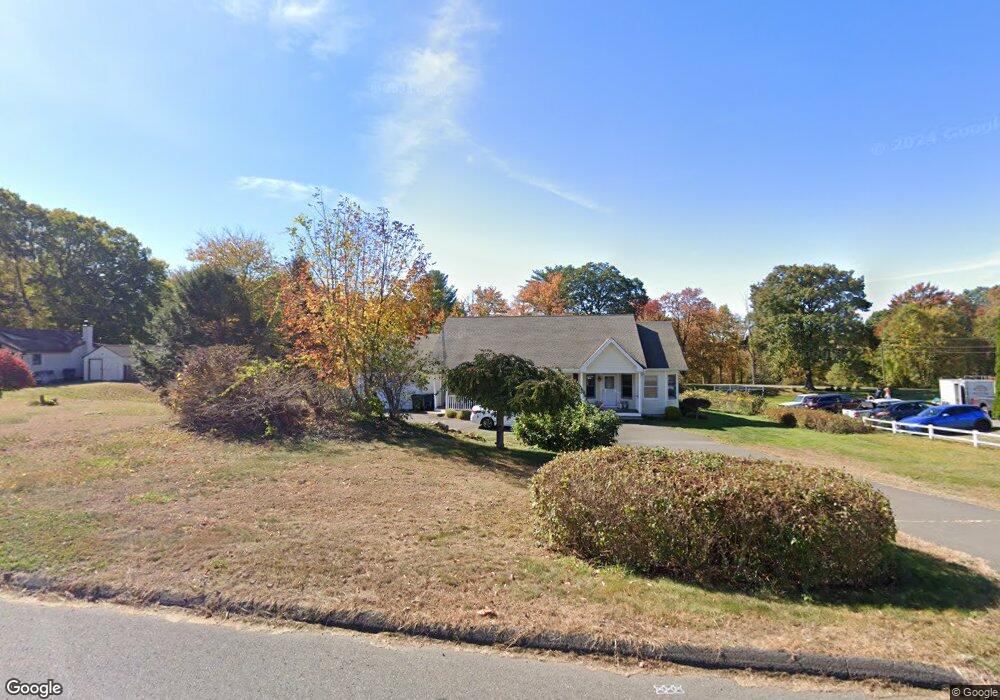
127 Schroback Rd Plymouth, CT 06782
Estimated Value: $367,631 - $425,000
3
Beds
2
Baths
1,598
Sq Ft
$251/Sq Ft
Est. Value
About This Home
This home is located at 127 Schroback Rd, Plymouth, CT 06782 and is currently estimated at $401,158, approximately $251 per square foot. 127 Schroback Rd is a home located in Litchfield County with nearby schools including Plymouth Center School, Eli Terry Jr. Middle School, and Terryville High School.
Ownership History
Date
Name
Owned For
Owner Type
Purchase Details
Closed on
Apr 2, 2008
Sold by
Zurawel John and Zurawel Bonnie
Bought by
Smith Michael D
Current Estimated Value
Home Financials for this Owner
Home Financials are based on the most recent Mortgage that was taken out on this home.
Original Mortgage
$234,000
Outstanding Balance
$48,227
Interest Rate
6.06%
Estimated Equity
$352,931
Create a Home Valuation Report for This Property
The Home Valuation Report is an in-depth analysis detailing your home's value as well as a comparison with similar homes in the area
Home Values in the Area
Average Home Value in this Area
Purchase History
| Date | Buyer | Sale Price | Title Company |
|---|---|---|---|
| Smith Michael D | $234,000 | -- | |
| Smith Michael D | $234,000 | -- |
Source: Public Records
Mortgage History
| Date | Status | Borrower | Loan Amount |
|---|---|---|---|
| Open | Smith Michael D | $234,000 | |
| Closed | Smith Michael D | $234,000 | |
| Previous Owner | Smith Michael D | $15,000 |
Source: Public Records
Tax History Compared to Growth
Tax History
| Year | Tax Paid | Tax Assessment Tax Assessment Total Assessment is a certain percentage of the fair market value that is determined by local assessors to be the total taxable value of land and additions on the property. | Land | Improvement |
|---|---|---|---|---|
| 2025 | $7,770 | $196,350 | $52,710 | $143,640 |
| 2024 | $7,587 | $196,350 | $52,710 | $143,640 |
| 2023 | $7,402 | $196,350 | $52,710 | $143,640 |
| 2022 | $7,131 | $196,350 | $52,710 | $143,640 |
| 2021 | $6,130 | $150,864 | $59,780 | $91,084 |
| 2020 | $6,130 | $150,864 | $59,780 | $91,084 |
| 2019 | $6,130 | $150,864 | $59,780 | $91,084 |
| 2016 | $5,704 | $158,361 | $59,780 | $98,581 |
| 2015 | $5,611 | $158,361 | $59,780 | $98,581 |
| 2014 | $5,519 | $158,361 | $59,780 | $98,581 |
Source: Public Records
Map
Nearby Homes
- 121 Schroback Rd
- 135 Schroback Rd
- 128 Schroback Rd
- 112 Schroback Rd
- 456 Preston Rd
- 448 Preston Rd
- 450 Preston Rd
- Lot 10 Preston Rd
- Lot 7 Preston Rd
- 143 Schroback Rd
- 459 Preston Rd
- 140 Schroback Rd
- 24 Schroback Rd
- 139 Schroback Rd
- 149 Schroback Rd
- 450 Preston Rd
- 148 Schroback Rd
- 101 Schroback Rd
- 447 Preston Rd
- 157 Schroback Rd