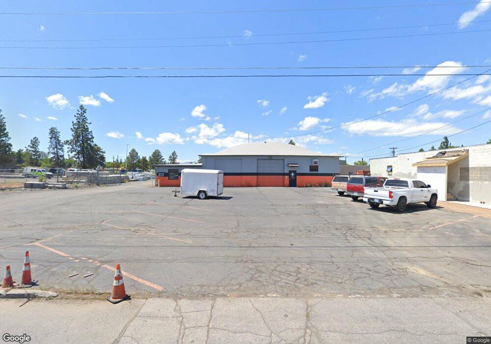
127 SE 5th St Bend, OR 97702
Larkspur NeighborhoodEstimated Value: $1,968,201
Studio
--
Bath
8,000
Sq Ft
$246/Sq Ft
Est. Value
About This Home
This home is located at 127 SE 5th St, Bend, OR 97702 and is currently estimated at $1,968,201, approximately $246 per square foot. 127 SE 5th St is a home located in Deschutes County with nearby schools including Juniper Elementary School, Pilot Butte Middle School, and Bend Senior High School.
Ownership History
Date
Name
Owned For
Owner Type
Purchase Details
Closed on
Mar 12, 2019
Sold by
7 Peaks Investment Group Llc
Bought by
Investment Group Llc
Current Estimated Value
Home Financials for this Owner
Home Financials are based on the most recent Mortgage that was taken out on this home.
Original Mortgage
$467,200
Interest Rate
4.4%
Mortgage Type
Commercial
Purchase Details
Closed on
Nov 27, 2013
Sold by
Mayer William D and Mayer Shirley Skjersaa
Bought by
7 Peaks Investment Group Llc
Home Financials for this Owner
Home Financials are based on the most recent Mortgage that was taken out on this home.
Original Mortgage
$289,000
Interest Rate
4.04%
Mortgage Type
Commercial
Create a Home Valuation Report for This Property
The Home Valuation Report is an in-depth analysis detailing your home's value as well as a comparison with similar homes in the area
Home Values in the Area
Average Home Value in this Area
Purchase History
| Date | Buyer | Sale Price | Title Company |
|---|---|---|---|
| Investment Group Llc | $1,168,000 | Deschutes County Title | |
| 7 Peaks Investment Group Llc | $429,000 | Amerititle |
Source: Public Records
Mortgage History
| Date | Status | Borrower | Loan Amount |
|---|---|---|---|
| Closed | Investment Group Llc | $467,200 | |
| Previous Owner | 7 Peaks Investment Group Llc | $289,000 |
Source: Public Records
Tax History
| Year | Tax Paid | Tax Assessment Tax Assessment Total Assessment is a certain percentage of the fair market value that is determined by local assessors to be the total taxable value of land and additions on the property. | Land | Improvement |
|---|---|---|---|---|
| 2025 | $9,869 | $584,080 | -- | -- |
| 2024 | $9,495 | $567,070 | -- | -- |
| 2023 | $8,802 | $550,560 | $0 | $0 |
| 2022 | $8,212 | $518,970 | $0 | $0 |
| 2021 | $8,224 | $503,860 | $0 | $0 |
| 2020 | $7,802 | $503,860 | $0 | $0 |
| 2019 | $7,585 | $489,190 | $0 | $0 |
| 2018 | $7,371 | $474,950 | $0 | $0 |
| 2017 | $7,155 | $461,120 | $0 | $0 |
| 2016 | $6,823 | $447,690 | $0 | $0 |
| 2015 | $6,634 | $434,660 | $0 | $0 |
| 2014 | $6,337 | $422,000 | $0 | $0 |
Source: Public Records
Map
Nearby Homes
- 530 SE Centennial St Unit 524,526,528,530
- 508 SE 4th St
- 775 NE Franklin Ave
- 438 NE 9th St
- 530 SE 3rd St
- 114 NW Delaware Ave
- 15 NW Franklin Ave
- 429 NE Irving Ave
- 120 NW Sisemore St
- 139 SE Taft Ave
- 623 SE Roosevelt Ave
- 195 SE Roosevelt Ave
- 624 SW Hill St
- 139 SE Roosevelt Ave
- 111 NW Hawthorne Ave Unit 1
- 924 NE 9th St
- 314 NW Georgia Ave
- 18 SW Roosevelt Ave Unit 4
- 649 NE Kearney Ave
- 291 SW Bluff Dr Unit : 320
- 421 NE Alden Ave
- 479 NE Alden Ave
- 0 NW Alden Ave
- 444 NE Alden Ave
- 468 NE Alden Ave
- 424 NE Alden Ave
- 512 SE Glenwood Dr
- 1-2 SE 5th St
- 52 SE 5th St
- 410 NE Alden Ave
- 529 SE Glenwood Dr
- 455 NE Burnside Ave
- 528 SE Glenwood Dr
- 445 NE Burnside Ave
- 150 NE 5th St
- 435 NE Burnside Ave
- 505 NE Burnside Ave
- 407 NE Burnside Ave
- 521 NE Burnside Ave Unit 1
- 521 NE Burnside Ave
Your Personal Tour Guide
Ask me questions while you tour the home.