Estimated Value: $249,000 - $307,000
3
Beds
1
Bath
960
Sq Ft
$295/Sq Ft
Est. Value
About This Home
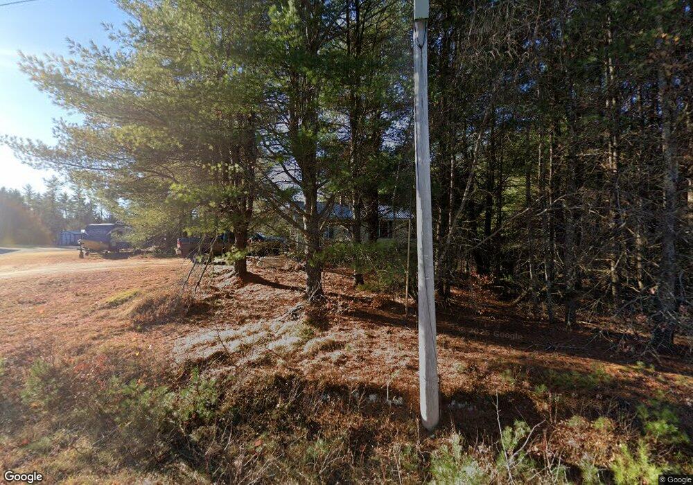
This home is located at 127 Sebago Rd, Hiram, ME 04041 and is currently estimated at $282,897, approximately $294 per square foot. 127 Sebago Rd is a home located in Oxford County.
Ownership History
Date
Name
Owned For
Owner Type
Purchase Details
Closed on
Apr 29, 2009
Sold by
Keith Beverly J
Bought by
Howland Jack and Howland Jessica
Current Estimated Value
Home Financials for this Owner
Home Financials are based on the most recent Mortgage that was taken out on this home.
Original Mortgage
$134,000
Outstanding Balance
$84,710
Interest Rate
4.86%
Mortgage Type
Commercial
Estimated Equity
$198,187
Purchase Details
Closed on
Aug 26, 2005
Sold by
Goodwin Carole W
Bought by
Keith Beverly J
Home Financials for this Owner
Home Financials are based on the most recent Mortgage that was taken out on this home.
Original Mortgage
$75,000
Interest Rate
5.68%
Mortgage Type
Commercial
Create a Home Valuation Report for This Property
The Home Valuation Report is an in-depth analysis detailing your home's value as well as a comparison with similar homes in the area
Home Values in the Area
Average Home Value in this Area
Purchase History
| Date | Buyer | Sale Price | Title Company |
|---|---|---|---|
| Howland Jack | -- | -- | |
| Keith Beverly J | -- | -- |
Source: Public Records
Mortgage History
| Date | Status | Borrower | Loan Amount |
|---|---|---|---|
| Open | Howland Jack | $134,000 | |
| Previous Owner | Keith Beverly J | $75,000 |
Source: Public Records
Tax History Compared to Growth
Tax History
| Year | Tax Paid | Tax Assessment Tax Assessment Total Assessment is a certain percentage of the fair market value that is determined by local assessors to be the total taxable value of land and additions on the property. | Land | Improvement |
|---|---|---|---|---|
| 2024 | $1,688 | $155,140 | $34,280 | $120,860 |
| 2023 | $1,660 | $134,310 | $27,420 | $106,890 |
| 2022 | $1,501 | $101,950 | $22,850 | $79,100 |
| 2021 | $1,489 | $101,950 | $22,850 | $79,100 |
| 2020 | $1,482 | $101,950 | $22,850 | $79,100 |
| 2019 | $1,482 | $101,950 | $22,850 | $79,100 |
| 2018 | $1,485 | $101,950 | $22,850 | $79,100 |
| 2017 | $1,457 | $101,950 | $22,850 | $79,100 |
| 2016 | $1,498 | $101,950 | $22,850 | $79,100 |
Source: Public Records
Map
Nearby Homes
- Lot U17-6 Narrow Gauge Trail
- 75 Ernest Day Rd
- 8 Graffam Rd
- Lot 1-B 1 Sebago Rd
- 992 Pequawket Trail
- 00 Cottage Ln
- 40A Convene
- 15 Promised Land Dr
- Lot 20 Dyke Mountain Rd
- 17 Wakefield Rd
- lot 29 Saddleback Rd
- 11 Marston Rd
- 133 Plantation Ln
- 174 Marston Rd
- 10 Caitlin Dr
- TBD Portland Ln
- 2 Hancock Pond Rd
- 7 Fuller Ln
- 48 Winston Rd
- 42AC Ben Gilpatrick Rd