127 Skunk Ln Wilton, CT 06897
Estimated Value: $1,830,571 - $2,205,000
4
Beds
5
Baths
4,091
Sq Ft
$476/Sq Ft
Est. Value
About This Home
This home is located at 127 Skunk Ln, Wilton, CT 06897 and is currently estimated at $1,949,143, approximately $476 per square foot. 127 Skunk Ln is a home located in Fairfield County with nearby schools including Miller-Driscoll School, Cider Mill School, and Middlebrook School.
Ownership History
Date
Name
Owned For
Owner Type
Purchase Details
Closed on
Jul 5, 2006
Sold by
Farina Vittorio and Farina Patrizia
Bought by
Li Hong and Lin Min
Current Estimated Value
Purchase Details
Closed on
Oct 15, 1997
Sold by
Miner Ruth and Miner Ira
Bought by
Farina Vittorio and Farina Patrizia
Create a Home Valuation Report for This Property
The Home Valuation Report is an in-depth analysis detailing your home's value as well as a comparison with similar homes in the area
Home Values in the Area
Average Home Value in this Area
Purchase History
| Date | Buyer | Sale Price | Title Company |
|---|---|---|---|
| Li Hong | $1,547,250 | -- | |
| Farina Vittorio | $835,000 | -- |
Source: Public Records
Mortgage History
| Date | Status | Borrower | Loan Amount |
|---|---|---|---|
| Open | Farina Vittorio | $417,000 | |
| Open | Farina Vittorio | $680,000 | |
| Closed | Farina Vittorio | $698,000 |
Source: Public Records
Tax History
| Year | Tax Paid | Tax Assessment Tax Assessment Total Assessment is a certain percentage of the fair market value that is determined by local assessors to be the total taxable value of land and additions on the property. | Land | Improvement |
|---|---|---|---|---|
| 2025 | $25,687 | $1,052,310 | $310,800 | $741,510 |
| 2024 | $25,192 | $1,052,310 | $310,800 | $741,510 |
| 2023 | $30,080 | $808,850 | $297,220 | $511,630 |
| 2022 | $22,834 | $808,850 | $297,220 | $511,630 |
| 2021 | $12,330 | $808,850 | $297,220 | $511,630 |
| 2020 | $12,031 | $808,850 | $297,220 | $511,630 |
| 2019 | $11,290 | $808,850 | $297,220 | $511,630 |
| 2018 | $23,782 | $843,640 | $312,480 | $531,160 |
| 2017 | $23,428 | $843,640 | $312,480 | $531,160 |
| 2016 | $23,065 | $843,640 | $312,480 | $531,160 |
| 2015 | $22,635 | $843,640 | $312,480 | $531,160 |
| 2014 | $22,365 | $843,640 | $312,480 | $531,160 |
Source: Public Records
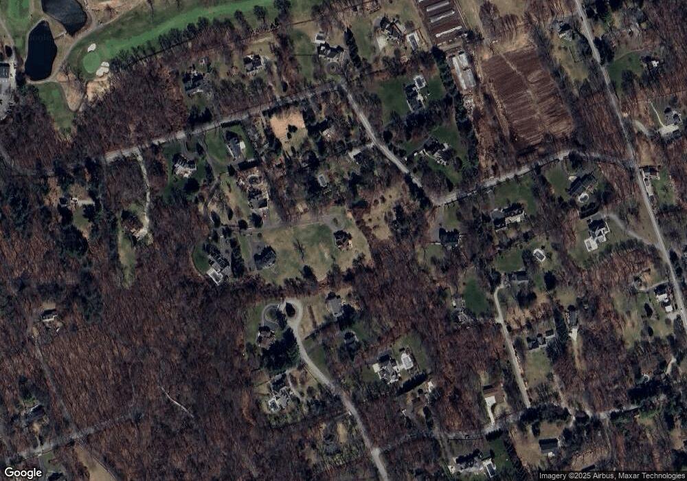
Map
Nearby Homes
- 25 Powder Horn Hill Rd
- 41 Calvin Rd
- 76 Sturges Ridge Rd
- 25 Cherry Ln
- 85 Glen Side Unit 85
- 3 Deerfield Rd
- 15 River Rd Unit STE 210
- 475 Danbury Rd
- 14 Langner Ln
- 4 Trails End Rd
- 84 Wilton Crest Rd Unit 84
- 33 Middlebrook Farm Rd
- 88 Drum Hill Rd
- 15 Mountain View Dr
- 35 Joanne Ln
- 126 Heather Ln
- 12 Godfrey Rd W
- 6 Downe Ln
- 330 Ridgefield Rd
- 30 Lords Hwy
- 179 Skunk Ln
- 98 Buckingham Ridge Rd
- 125 Skunk Ln
- 123 Skunk Ln
- 92 Buckingham Ridge Rd
- 183 Skunk Ln
- 151 Skunk Ln
- 141 Skunk Ln
- 145 Skunk Ln
- 143 Skunk Ln
- 141 Skunk Ln
- 139 Skunk Ln
- 95 Buckingham Ridge Rd
- 129 Skunk Ln
- 170 Skunk Ln
- 82 Buckingham Ridge Rd
- 32 Friendlee Ln
- 133 Skunk Ln
- 160 Skunk Ln
- 77 Buckingham Ridge Rd
Your Personal Tour Guide
Ask me questions while you tour the home.