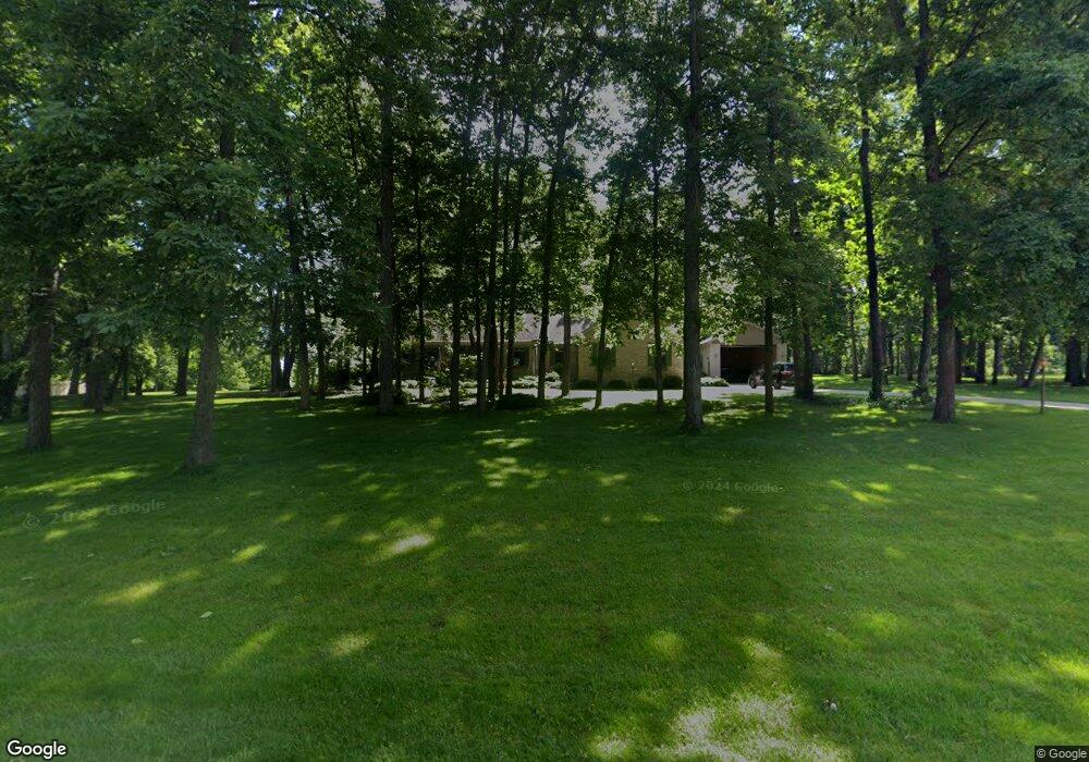
127 Teton Ct Hebron, IN 46341
Porter County NeighborhoodEstimated Value: $454,000 - $651,178
3
Beds
4
Baths
2,416
Sq Ft
$243/Sq Ft
Est. Value
About This Home
This home is located at 127 Teton Ct, Hebron, IN 46341 and is currently estimated at $586,545, approximately $242 per square foot. 127 Teton Ct is a home located in Porter County with nearby schools including Porter Lakes Elementary School, Boone Grove Elementary School, and Boone Grove Middle School.
Ownership History
Date
Name
Owned For
Owner Type
Purchase Details
Closed on
May 31, 2024
Sold by
Rhodes Vern G and Rhodes Deidra B
Bought by
Moore Edward Austin and Moore Kern Elizabeth
Current Estimated Value
Home Financials for this Owner
Home Financials are based on the most recent Mortgage that was taken out on this home.
Original Mortgage
$299,250
Outstanding Balance
$295,540
Interest Rate
7.17%
Mortgage Type
New Conventional
Estimated Equity
$291,005
Create a Home Valuation Report for This Property
The Home Valuation Report is an in-depth analysis detailing your home's value as well as a comparison with similar homes in the area
Home Values in the Area
Average Home Value in this Area
Purchase History
| Date | Buyer | Sale Price | Title Company |
|---|---|---|---|
| Moore Edward Austin | -- | None Listed On Document |
Source: Public Records
Mortgage History
| Date | Status | Borrower | Loan Amount |
|---|---|---|---|
| Open | Moore Edward Austin | $299,250 |
Source: Public Records
Tax History Compared to Growth
Tax History
| Year | Tax Paid | Tax Assessment Tax Assessment Total Assessment is a certain percentage of the fair market value that is determined by local assessors to be the total taxable value of land and additions on the property. | Land | Improvement |
|---|---|---|---|---|
| 2024 | $4,011 | $530,800 | $63,000 | $467,800 |
| 2023 | $4,011 | $493,600 | $57,200 | $436,400 |
| 2022 | $3,801 | $449,400 | $57,200 | $392,200 |
| 2021 | $3,630 | $399,200 | $57,200 | $342,000 |
| 2020 | $3,377 | $396,900 | $49,800 | $347,100 |
| 2019 | $3,287 | $362,700 | $49,800 | $312,900 |
| 2018 | $3,218 | $355,400 | $49,800 | $305,600 |
| 2017 | $3,001 | $352,700 | $49,800 | $302,900 |
| 2016 | $2,696 | $327,900 | $51,100 | $276,800 |
| 2014 | $2,731 | $323,300 | $50,000 | $273,300 |
| 2013 | -- | $286,500 | $52,500 | $234,000 |
Source: Public Records
Map
Nearby Homes
- N 675th W
- 46 S Delmar Ct
- 50 Annetto Ct
- 595 W 213 S
- 745 Verdano Terrace
- 726 Verdano Terrace
- 747 Verdano Terrace
- 742 Druim Tr
- 228 S 675 W
- 718 Verdano Terrace
- 759 Verdano Terrace
- 767 Ketill Trace
- 665 Windy Oak Ct
- 735 Druim Tr
- 744 Verdano Terrace
- 710, 712, & 714 Ketill Trace
- 733 Druim Tr
- 746 Verdano Terrace
- 703 Druim Tr
- 731 Druim Tr
- 127 Teton Ct
- 123 Teton Ct
- 129 Teton Ct
- 119 Teton Ct
- 130 Teton Ct
- 115 Teton Ct
- 638 Ozark Dr
- 131 Stillwater Ct
- 127 Springwood Dr
- 639 Ozark Dr
- 111 Teton Ct
- 133 Springwood Dr
- 117 Springwood Dr
- 641 Appalachian Way
- 137 Springwood Dr
- 135 Stillwater Ct
- 141 Springwood Dr
- 107 Teton Ct
- 113 Springwood Dr
- 145 Springwood Dr