Estimated Value: $386,000 - $458,000
2
Beds
1
Bath
768
Sq Ft
$548/Sq Ft
Est. Value
About This Home
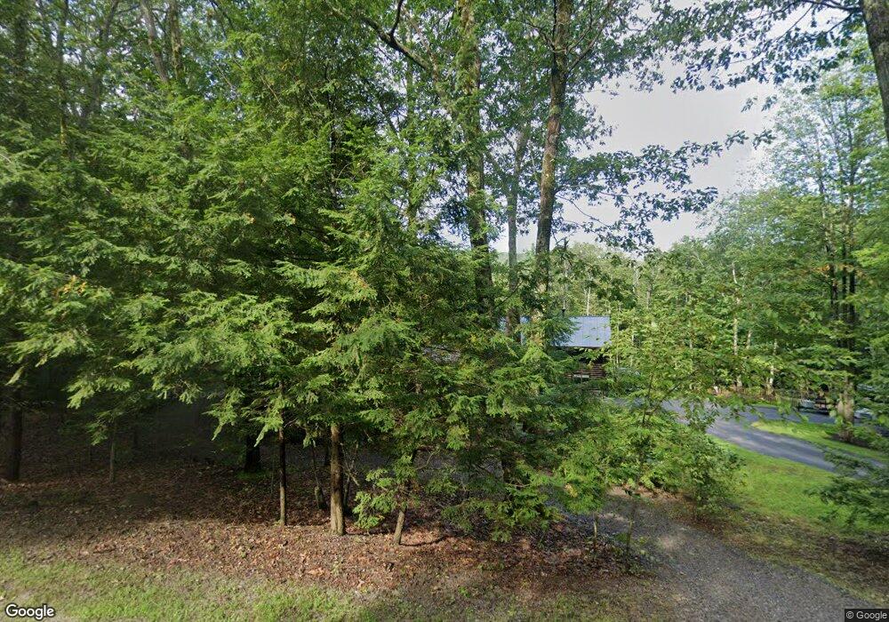
This home is located at 127 Thorndike Rd, Weare, NH 03281 and is currently estimated at $420,806, approximately $547 per square foot. 127 Thorndike Rd is a home located in Hillsborough County with nearby schools including Center Woods Elementary School, Weare Middle School, and John Stark Regional High School.
Ownership History
Date
Name
Owned For
Owner Type
Purchase Details
Closed on
Sep 5, 2008
Sold by
Fhlmc
Bought by
Hooper Leonard T
Current Estimated Value
Home Financials for this Owner
Home Financials are based on the most recent Mortgage that was taken out on this home.
Original Mortgage
$168,811
Interest Rate
6.69%
Mortgage Type
Purchase Money Mortgage
Purchase Details
Closed on
Apr 1, 2008
Sold by
Belanger Michael A and Belanger Fhlmc
Bought by
Fhlmc
Create a Home Valuation Report for This Property
The Home Valuation Report is an in-depth analysis detailing your home's value as well as a comparison with similar homes in the area
Home Values in the Area
Average Home Value in this Area
Purchase History
| Date | Buyer | Sale Price | Title Company |
|---|---|---|---|
| Hooper Leonard T | $165,600 | -- | |
| Fhlmc | $170,300 | -- |
Source: Public Records
Mortgage History
| Date | Status | Borrower | Loan Amount |
|---|---|---|---|
| Open | Fhlmc | $161,616 | |
| Closed | Fhlmc | $168,811 | |
| Previous Owner | Fhlmc | $162,500 |
Source: Public Records
Tax History Compared to Growth
Tax History
| Year | Tax Paid | Tax Assessment Tax Assessment Total Assessment is a certain percentage of the fair market value that is determined by local assessors to be the total taxable value of land and additions on the property. | Land | Improvement |
|---|---|---|---|---|
| 2024 | $6,274 | $307,700 | $115,900 | $191,800 |
| 2023 | $5,797 | $307,700 | $115,900 | $191,800 |
| 2022 | $4,802 | $276,000 | $115,900 | $160,100 |
| 2021 | $4,747 | $276,000 | $115,900 | $160,100 |
| 2020 | $4,574 | $191,000 | $85,400 | $105,600 |
| 2019 | $4,529 | $191,000 | $85,400 | $105,600 |
| 2018 | $4,394 | $190,800 | $85,400 | $105,400 |
| 2016 | $4,206 | $188,000 | $85,400 | $102,600 |
| 2015 | $4,088 | $182,400 | $82,500 | $99,900 |
| 2014 | $4,051 | $182,400 | $82,500 | $99,900 |
| 2013 | $3,980 | $183,000 | $82,500 | $100,500 |
Source: Public Records
Map
Nearby Homes
- 207 Thorndike Rd
- 396 Flanders Memorial Rd
- 30 Dels Way
- 194 Buckley Rd Unit 62
- 194 Buckley Rd Unit 2
- 194 Buckley Rd Unit 78
- 233 N Stark Hwy
- 114 Reservoir Dr
- 107 Branch Rd
- 59 E Shore Dr
- 108 E Shore Dr
- 11 Ski Tow Rd
- 92 Woodbury Rd
- 101-125 Winslow Rd
- 457 Reservoir Dr
- 1747 River Rd
- 116 Martin Rd
- 56 E Deering Rd
- 1376 Deering Center Rd
- 196 Deering Center Rd
- 117 Thorndike Rd
- 137 Thorndike Rd
- 145 Thorndike Rd
- 105 Thorndike Rd
- 153 Thorndike Rd
- 99 Thorndike Rd
- 156 Thorndike Rd
- 161 Thorndike Rd
- 68 Thorndike Rd
- 97 Thorndike Rd
- 169 Thorndike Rd
- 81 Thorndike Rd
- 1131 Thorndike Rd
- 175 Thorndike Rd
- 60 Thorndike Rd
- 61 Thorndike Rd
- 191 Thorndike Rd
- 195 Thorndike Rd
- 47 Thorndike Rd
- 48 Thorndike Rd