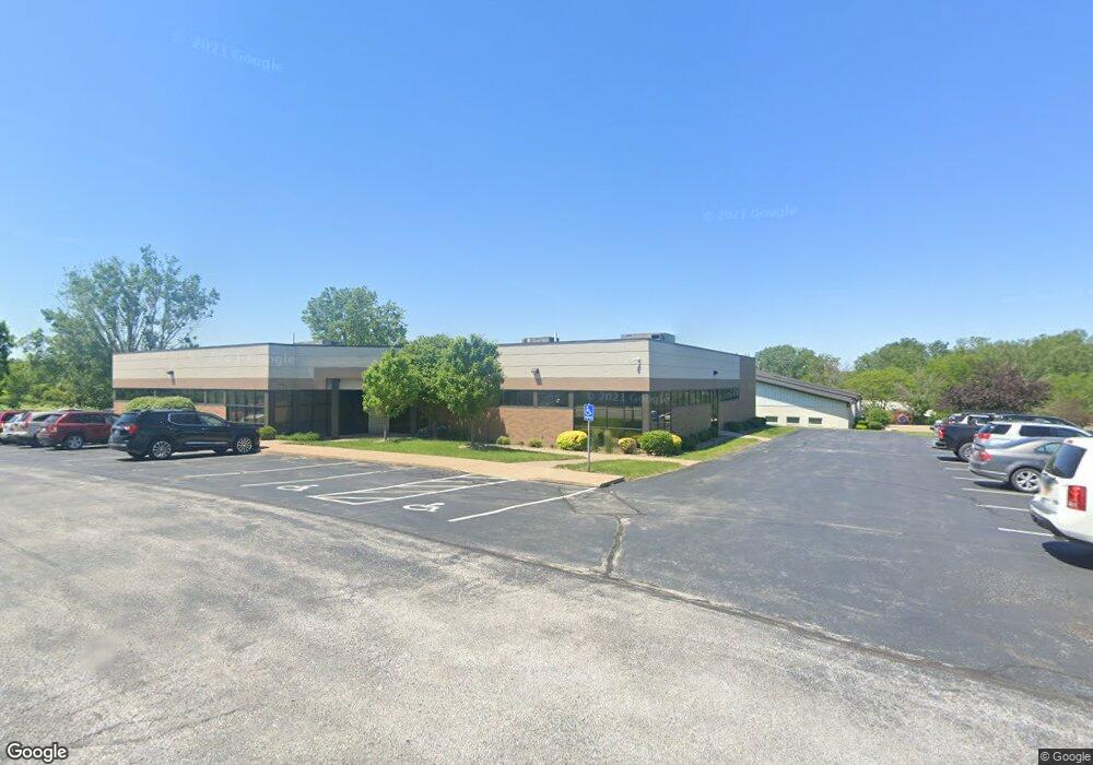
127 W 76th St Davenport, IA 52806
North Side Neighborhood
--
Bed
--
Bath
2,100
Sq Ft
1.42
Acres
About This Home
This home is located at 127 W 76th St, Davenport, IA 52806. 127 W 76th St is a home located in Scott County with nearby schools including Fillmore Elementary School, Wood Intermediate School, and North High School.
Ownership History
Date
Name
Owned For
Owner Type
Purchase Details
Closed on
Oct 30, 2023
Sold by
River Cities Holdings Llc
Bought by
Purco Llc
Home Financials for this Owner
Home Financials are based on the most recent Mortgage that was taken out on this home.
Original Mortgage
$1,180,000
Outstanding Balance
$1,157,101
Interest Rate
7.19%
Mortgage Type
New Conventional
Purchase Details
Closed on
Mar 11, 2010
Sold by
Steeplegate Partners
Bought by
River Cities Holdings Llc
Home Financials for this Owner
Home Financials are based on the most recent Mortgage that was taken out on this home.
Original Mortgage
$15,000
Interest Rate
5.01%
Mortgage Type
Purchase Money Mortgage
Create a Home Valuation Report for This Property
The Home Valuation Report is an in-depth analysis detailing your home's value as well as a comparison with similar homes in the area
Home Values in the Area
Average Home Value in this Area
Purchase History
| Date | Buyer | Sale Price | Title Company |
|---|---|---|---|
| Purco Llc | $812,500 | None Listed On Document | |
| Purco Llc | $812,500 | None Listed On Document | |
| River Cities Holdings Llc | $222,500 | None Available | |
| River Cities Holdings Llc | $222,500 | None Available |
Source: Public Records
Mortgage History
| Date | Status | Borrower | Loan Amount |
|---|---|---|---|
| Open | Purco Llc | $1,180,000 | |
| Previous Owner | River Cities Holdings Llc | $15,000 |
Source: Public Records
Tax History Compared to Growth
Tax History
| Year | Tax Paid | Tax Assessment Tax Assessment Total Assessment is a certain percentage of the fair market value that is determined by local assessors to be the total taxable value of land and additions on the property. | Land | Improvement |
|---|---|---|---|---|
| 2025 | $10,524 | $359,940 | $21,410 | $338,530 |
| 2024 | $10,482 | $343,990 | $21,410 | $322,580 |
| 2023 | $10,370 | $343,990 | $21,410 | $322,580 |
| 2022 | $10,120 | $322,670 | $21,410 | $301,260 |
| 2021 | $10,120 | $322,670 | $21,410 | $301,260 |
| 2020 | $10,024 | $322,670 | $21,410 | $301,260 |
| 2019 | $9,196 | $302,960 | $21,410 | $281,550 |
| 2018 | $9,216 | $302,960 | $21,410 | $281,550 |
| 2017 | $8,364 | $302,960 | $21,410 | $281,550 |
| 2016 | $9,036 | $299,000 | $0 | $0 |
| 2015 | $9,036 | $299,000 | $0 | $0 |
| 2014 | $9,592 | $299,000 | $0 | $0 |
| 2013 | $10,960 | $0 | $0 | $0 |
| 2012 | -- | $285,500 | $47,700 | $237,800 |
Source: Public Records
Map
Nearby Homes
- 665 W 64th St
- Lot 56 Franklin Ave
- LOT 54 Franklin Ave
- 6308 Appomattox Rd
- 6205 N Ripley St
- 6109 N Brady St
- 6127 Fair Ave
- 6112 Western Ave
- Lot 26 Benjamin Ct
- 1010 Olde Brandy Ln
- 6524 Lillie Ave
- 1070 Olde Brandy Ln
- 6310 Deere Creek Ln
- 1265 W 63rd St
- 6224 Deere Creek Ln
- 1301 W 62nd Ct
- 6215 Deere Creek Ln
- 6211 Deere Creek Ln
- 6330 Deere Creek Ln
- 6208 Deere Creek Ln
- 127 W 76th St
- 125 W 76th St
- 145 W 76th St
- 145 W 76th St Unit 247 R
- 7 W 76th St
- 109 W 76th St
- 107 W 76th St
- 107 W 76th St
- 105 W 76th St
- 101 W 76th St
- 8 W 76th St
- 6 W 76th St
- 100 W 76th St
- 7300 N Brady St
- 351 W 76th St
- 355 W 76th St
- 354 W 76th St
- 354 W 76th St Unit Building 1
- 409 W 76th St
- 299 Jason Way Ct