127 W Adair St Shell Rock, IA 50670
Estimated Value: $126,000 - $188,000
2
Beds
2
Baths
1,497
Sq Ft
$105/Sq Ft
Est. Value
About This Home
This home is located at 127 W Adair St, Shell Rock, IA 50670 and is currently estimated at $157,605, approximately $105 per square foot. 127 W Adair St is a home located in Butler County with nearby schools including Waverly-Shell Rock Senior High School.
Ownership History
Date
Name
Owned For
Owner Type
Purchase Details
Closed on
May 18, 2012
Sold by
Schmitt Stephanie A and Schmitt Michael D
Bought by
Schluter David L
Current Estimated Value
Home Financials for this Owner
Home Financials are based on the most recent Mortgage that was taken out on this home.
Original Mortgage
$92,625
Outstanding Balance
$64,475
Interest Rate
4%
Mortgage Type
New Conventional
Estimated Equity
$93,130
Purchase Details
Closed on
May 1, 2006
Sold by
Lee Curt S and Lee Beverly A
Bought by
Janssen Stephanie A
Home Financials for this Owner
Home Financials are based on the most recent Mortgage that was taken out on this home.
Original Mortgage
$69,600
Interest Rate
6.37%
Mortgage Type
New Conventional
Create a Home Valuation Report for This Property
The Home Valuation Report is an in-depth analysis detailing your home's value as well as a comparison with similar homes in the area
Home Values in the Area
Average Home Value in this Area
Purchase History
| Date | Buyer | Sale Price | Title Company |
|---|---|---|---|
| Schluter David L | $92,000 | None Available | |
| Janssen Stephanie A | $87,000 | None Available |
Source: Public Records
Mortgage History
| Date | Status | Borrower | Loan Amount |
|---|---|---|---|
| Open | Schluter David L | $92,625 | |
| Previous Owner | Janssen Stephanie A | $69,600 |
Source: Public Records
Tax History Compared to Growth
Tax History
| Year | Tax Paid | Tax Assessment Tax Assessment Total Assessment is a certain percentage of the fair market value that is determined by local assessors to be the total taxable value of land and additions on the property. | Land | Improvement |
|---|---|---|---|---|
| 2024 | $2,280 | $138,030 | $12,240 | $125,790 |
| 2023 | $2,030 | $138,030 | $12,240 | $125,790 |
| 2022 | $1,930 | $111,540 | $12,240 | $99,300 |
| 2021 | $1,808 | $111,540 | $12,240 | $99,300 |
| 2020 | $1,808 | $100,580 | $12,240 | $88,340 |
| 2019 | $1,702 | $93,270 | $0 | $0 |
| 2018 | $1,670 | $93,270 | $0 | $0 |
| 2017 | $1,670 | $93,270 | $0 | $0 |
| 2016 | $1,824 | $94,180 | $0 | $0 |
| 2015 | $1,824 | $94,180 | $0 | $0 |
| 2014 | $1,854 | $94,180 | $0 | $0 |
Source: Public Records
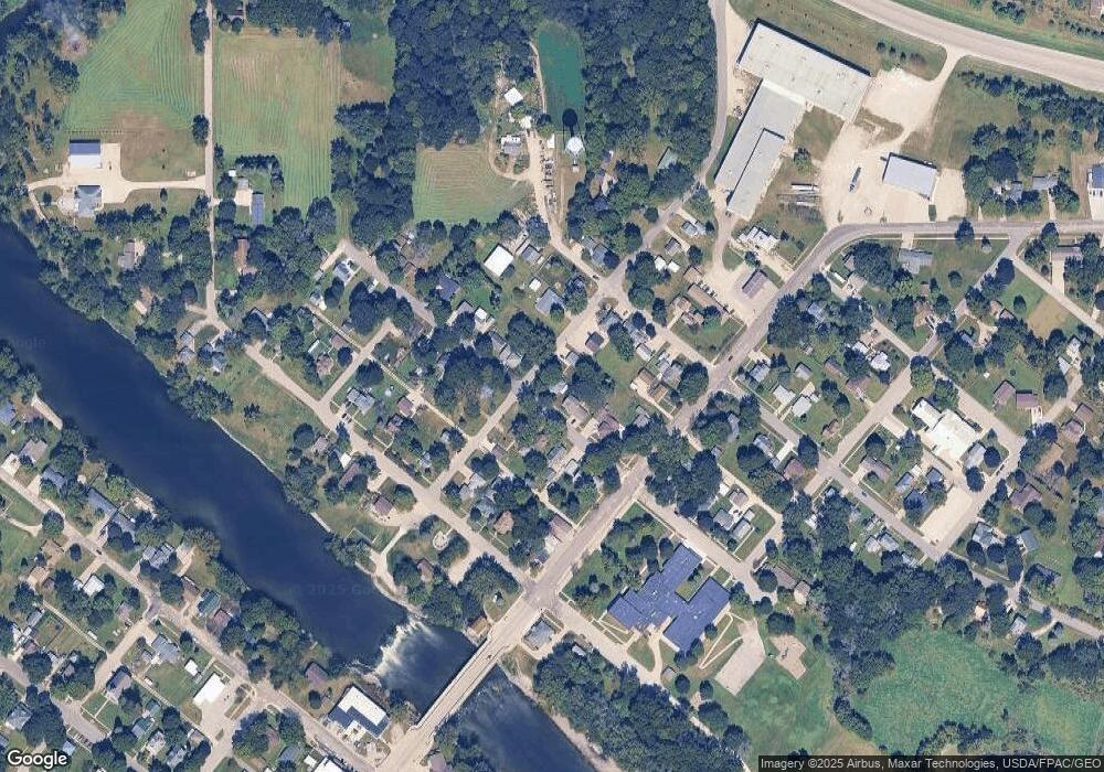
Map
Nearby Homes
- 403 E Jackson St
- 327 E Mindy Dr
- 214 Elliot Ave
- 220 Elliot Ave
- 1124 Lozmar Ln
- 1125 Lozmar Ln
- 1130 Lozmar Ln
- 218 Harvest Ln
- 21164 Woodridge Ln
- 21250 Woodridge Ln
- 21146 Woodridge Ln
- 21161 Woodridge Ln
- 21273 Woodridge Ln
- 1065 230th St
- 21269 Woodridge Ln
- 21165 Woodridge Ln
- 21109 Woodridge Ln
- 2425 Bishop Ave
- 2412 W Bremer Ave
- 304 Park 26th St NW
- 121 E Adair St
- 115 E Adair St
- 122 E Grove St
- 308 N Prairie St
- 114 E Grove St
- 302 N Prairie St
- 316 N Prairie St
- 322 N Cherry St
- 310 N Cherry St
- 202 E Grove St
- 214 N Cherry St
- 208 E Grove St
- 201 E Grove St
- 115 E Grove St
- 216 E Grove St
- 111 E Grove St
- 311 N Cherry St
- 404 N Cherry St
- 317 N Cherry St
- 222 E Grove St