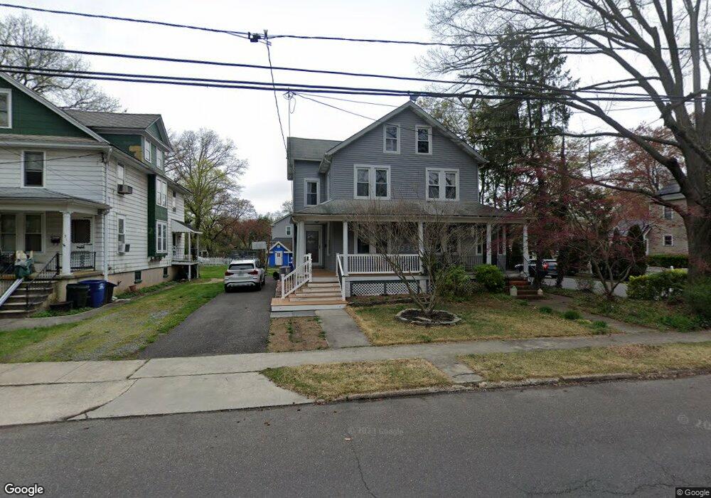
127 W Central Ave Moorestown, NJ 08057
Estimated Value: $351,000 - $515,000
5
Beds
2
Baths
1,758
Sq Ft
$245/Sq Ft
Est. Value
About This Home
This home is located at 127 W Central Ave, Moorestown, NJ 08057 and is currently estimated at $431,335, approximately $245 per square foot. 127 W Central Ave is a home located in Burlington County with nearby schools including George C. Baker Elementary School, Moorestown Upper Elementary School, and William Allen Middle School.
Ownership History
Date
Name
Owned For
Owner Type
Purchase Details
Closed on
Jul 3, 2024
Sold by
Hahn Charles R
Bought by
Stoyer Abigail and Parker Christopher
Current Estimated Value
Home Financials for this Owner
Home Financials are based on the most recent Mortgage that was taken out on this home.
Original Mortgage
$295,200
Outstanding Balance
$291,640
Interest Rate
6.94%
Mortgage Type
New Conventional
Estimated Equity
$139,695
Purchase Details
Closed on
May 14, 1998
Sold by
Hahn Edward S
Bought by
Hahn Charles R
Home Financials for this Owner
Home Financials are based on the most recent Mortgage that was taken out on this home.
Original Mortgage
$68,600
Interest Rate
7.04%
Mortgage Type
FHA
Create a Home Valuation Report for This Property
The Home Valuation Report is an in-depth analysis detailing your home's value as well as a comparison with similar homes in the area
Home Values in the Area
Average Home Value in this Area
Purchase History
| Date | Buyer | Sale Price | Title Company |
|---|---|---|---|
| Stoyer Abigail | $369,000 | Freedom Title | |
| Stoyer Abigail | $369,000 | Freedom Title | |
| Hahn Charles R | $61,000 | Congress Title Corp |
Source: Public Records
Mortgage History
| Date | Status | Borrower | Loan Amount |
|---|---|---|---|
| Open | Stoyer Abigail | $295,200 | |
| Closed | Stoyer Abigail | $295,200 | |
| Previous Owner | Hahn Charles R | $68,600 |
Source: Public Records
Tax History Compared to Growth
Tax History
| Year | Tax Paid | Tax Assessment Tax Assessment Total Assessment is a certain percentage of the fair market value that is determined by local assessors to be the total taxable value of land and additions on the property. | Land | Improvement |
|---|---|---|---|---|
| 2025 | $4,278 | $150,800 | $78,200 | $72,600 |
| 2024 | $4,149 | $150,800 | $78,200 | $72,600 |
| 2023 | $4,149 | $150,800 | $78,200 | $72,600 |
| 2022 | $4,106 | $150,800 | $78,200 | $72,600 |
| 2021 | $4,052 | $150,800 | $78,200 | $72,600 |
| 2020 | $4,026 | $150,800 | $78,200 | $72,600 |
| 2019 | $3,955 | $150,800 | $78,200 | $72,600 |
| 2018 | $3,848 | $150,800 | $78,200 | $72,600 |
| 2017 | $3,882 | $150,800 | $78,200 | $72,600 |
| 2016 | $3,868 | $150,800 | $78,200 | $72,600 |
| 2015 | $3,821 | $150,800 | $78,200 | $72,600 |
| 2014 | $3,628 | $150,800 | $78,200 | $72,600 |
Source: Public Records
Map
Nearby Homes
- 129 W Central Ave
- 131 W Central Ave
- 119 W Central Ave
- 133 W Central Ave
- 405 Dawson St
- 117 W Central Ave
- 407 Dawson St
- 130 W Central Ave
- 132 W Central Ave
- 113 W Central Ave
- 409 Dawson St
- 405 Irving Ave
- 139 W Central Ave
- 111 W Central Ave
- 138 W Central Ave
- 114 W Central Ave
- 411 Dawson St
- 109 W Central Ave
- 142 W Central Ave
- 112 W Central Ave Unit B