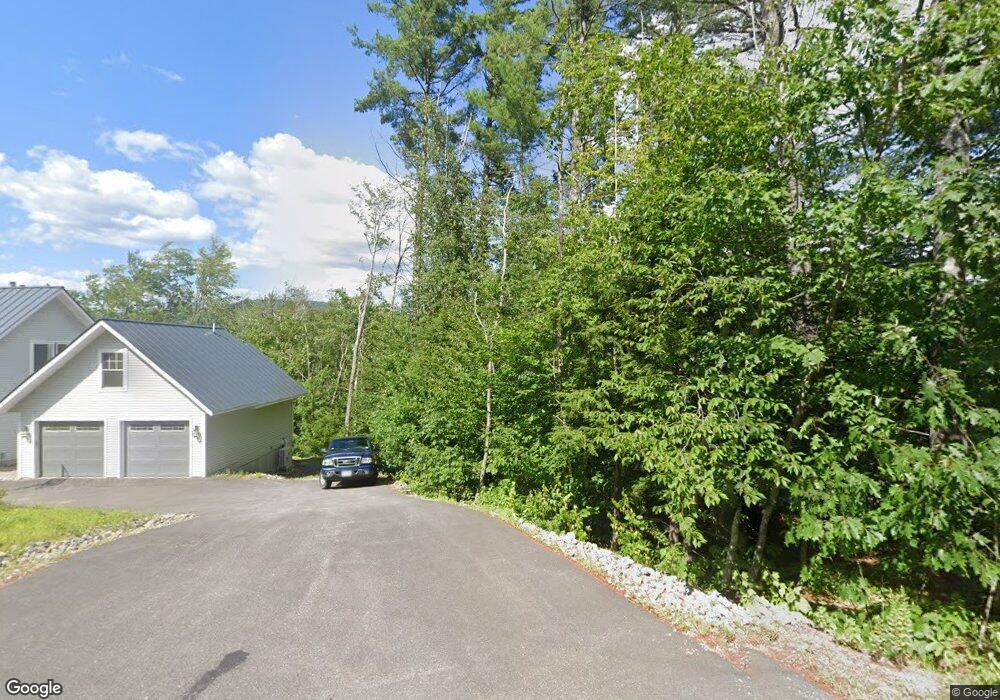
127 W Shore Rd Hebron, NH 03241
Estimated Value: $1,458,000 - $1,886,000
3
Beds
3
Baths
3,320
Sq Ft
$525/Sq Ft
Est. Value
About This Home
This home is located at 127 W Shore Rd, Hebron, NH 03241 and is currently estimated at $1,742,615, approximately $524 per square foot. 127 W Shore Rd is a home with nearby schools including Bridgewater-Hebron Village School.
Ownership History
Date
Name
Owned For
Owner Type
Purchase Details
Closed on
Nov 19, 2018
Sold by
Cahill John P and Cahill Pamela A
Bought by
Moynihan Amy and Moynihan Shawn T
Current Estimated Value
Home Financials for this Owner
Home Financials are based on the most recent Mortgage that was taken out on this home.
Original Mortgage
$100,000
Outstanding Balance
$62,992
Interest Rate
4.7%
Mortgage Type
Adjustable Rate Mortgage/ARM
Estimated Equity
$1,679,623
Purchase Details
Closed on
Jan 9, 2014
Sold by
Redmann Sharon L
Bought by
Cahill John P and Cahill Pamela A
Create a Home Valuation Report for This Property
The Home Valuation Report is an in-depth analysis detailing your home's value as well as a comparison with similar homes in the area
Home Values in the Area
Average Home Value in this Area
Purchase History
| Date | Buyer | Sale Price | Title Company |
|---|---|---|---|
| Moynihan Amy | $430,000 | -- | |
| Cahill John P | $249,900 | -- |
Source: Public Records
Mortgage History
| Date | Status | Borrower | Loan Amount |
|---|---|---|---|
| Open | Cahill John P | $100,000 |
Source: Public Records
Tax History Compared to Growth
Tax History
| Year | Tax Paid | Tax Assessment Tax Assessment Total Assessment is a certain percentage of the fair market value that is determined by local assessors to be the total taxable value of land and additions on the property. | Land | Improvement |
|---|---|---|---|---|
| 2024 | $9,037 | $1,292,900 | $817,900 | $475,000 |
| 2023 | $8,249 | $1,292,900 | $817,900 | $475,000 |
| 2022 | $8,831 | $1,292,900 | $817,900 | $475,000 |
| 2021 | $8,430 | $1,292,900 | $817,900 | $475,000 |
| 2020 | $8,032 | $836,700 | $517,900 | $318,800 |
| 2019 | $2,427 | $250,500 | $250,500 | $0 |
| 2018 | $2,094 | $250,500 | $250,500 | $0 |
| 2017 | $2,218 | $248,100 | $248,100 | $0 |
| 2016 | $2,064 | $248,100 | $248,100 | $0 |
| 2015 | $2,395 | $300,900 | $300,900 | $0 |
| 2014 | $2,461 | $300,900 | $300,900 | $0 |
| 2013 | $2,422 | $300,900 | $300,900 | $0 |
Source: Public Records
Map
Nearby Homes
- Lot 26 Skyline Dr
- 22 Hemlock Ln
- 497 W Shore Rd
- 00 Ledgewood Cir Unit 7
- 26 N Mayhew Turnpike
- 25 S Face Rd Unit A
- 431 George Rd
- 275 Shore Dr N
- 711 W Shore Rd
- 301 Perkins Hill Rd
- 1678 Fowler River Rd
- 29 Pasquaney Ln Unit 10
- 33 Winterberry Ln
- 40 Adams Rd
- 17 Village Dr W Unit 11
- 613 Mayhew Turnpike Unit 227-024 & 227-023
- 38 Jewell Hill Rd
- 383 Wulamat Rd
- 400 Wulamat Rd
- 199 Cottage City Rd