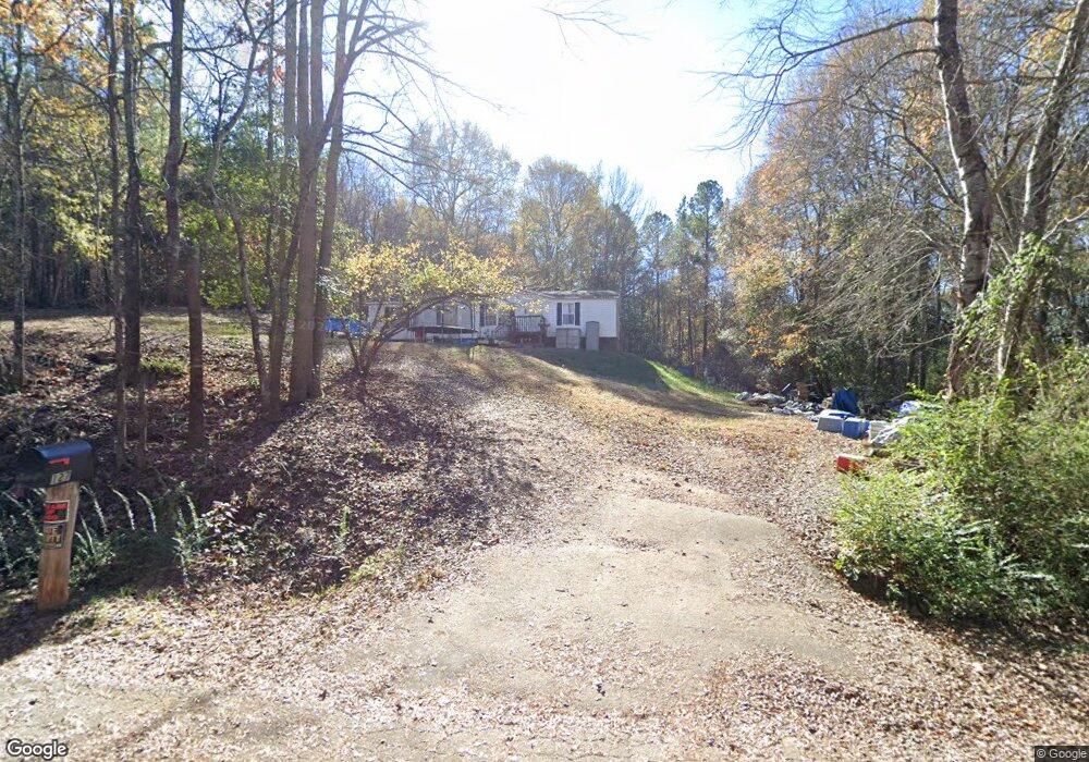
127 Wentzky Cir Anderson, SC 29621
Estimated Value: $15,184 - $101,000
3
Beds
2
Baths
1,300
Sq Ft
$54/Sq Ft
Est. Value
About This Home
This home is located at 127 Wentzky Cir, Anderson, SC 29621 and is currently estimated at $70,395, approximately $54 per square foot. 127 Wentzky Cir is a home located in Anderson County with nearby schools including Calhoun Academy of the Arts, Glenview Middle School, and T.L. Hanna High School.
Ownership History
Date
Name
Owned For
Owner Type
Purchase Details
Closed on
Oct 30, 2013
Sold by
Red Stag Llc
Bought by
Wentzky John Frank
Current Estimated Value
Purchase Details
Closed on
Nov 29, 2012
Sold by
Southern Solutions Inc
Bought by
Red Stag Llc
Home Financials for this Owner
Home Financials are based on the most recent Mortgage that was taken out on this home.
Original Mortgage
$140,000
Interest Rate
3.4%
Mortgage Type
New Conventional
Purchase Details
Closed on
Mar 3, 2005
Sold by
Fv-1 Inc
Bought by
Calhoun Rentals Llc
Home Financials for this Owner
Home Financials are based on the most recent Mortgage that was taken out on this home.
Original Mortgage
$35,000
Interest Rate
5.6%
Mortgage Type
Future Advance Clause Open End Mortgage
Create a Home Valuation Report for This Property
The Home Valuation Report is an in-depth analysis detailing your home's value as well as a comparison with similar homes in the area
Home Values in the Area
Average Home Value in this Area
Purchase History
| Date | Buyer | Sale Price | Title Company |
|---|---|---|---|
| Wentzky John Frank | $7,400 | -- | |
| Red Stag Llc | $200,000 | -- | |
| Calhoun Rentals Llc | $17,000 | -- |
Source: Public Records
Mortgage History
| Date | Status | Borrower | Loan Amount |
|---|---|---|---|
| Previous Owner | Red Stag Llc | $140,000 | |
| Previous Owner | Calhoun Rentals Llc | $35,000 |
Source: Public Records
Tax History Compared to Growth
Tax History
| Year | Tax Paid | Tax Assessment Tax Assessment Total Assessment is a certain percentage of the fair market value that is determined by local assessors to be the total taxable value of land and additions on the property. | Land | Improvement |
|---|---|---|---|---|
| 2024 | $182 | $1,070 | $1,070 | $0 |
| 2023 | $182 | $1,070 | $1,070 | $0 |
| 2022 | $178 | $1,070 | $1,070 | $0 |
| 2021 | $159 | $710 | $710 | $0 |
| 2020 | $157 | $710 | $710 | $0 |
| 2019 | $157 | $710 | $710 | $0 |
| 2018 | $155 | $710 | $710 | $0 |
| 2017 | -- | $710 | $710 | $0 |
| 2016 | $133 | $430 | $430 | $0 |
| 2015 | $135 | $430 | $430 | $0 |
| 2014 | $133 | $540 | $540 | $0 |
Source: Public Records
Map
Nearby Homes
- 191 Amberwood Dr
- 1516 Johanna Cir
- 102 Olivarri Dr
- 109 Brittania Cir
- 153 Amberwood Dr
- 9 Woodbridge Cir
- 103 Charlestowne Way
- 2100 Marchbanks Ave
- 109 Elliott Cir
- 135 Elliott Cir
- 136 Amberwood Dr
- 126 Nicklaus Dr
- 1429 E Calhoun St
- 1426 E Calhoun St
- 105 Nicklaus Dr
- 126 Olivarri Dr
- 2109 Rolling Green Rd
- 601 Laurel Creek Dr
- 11 Chalet Ct
- 607 Laurel Creek Dr
- 122A B Wentzky Cir
- 120A Wentzky Cir
- LOT #1 Wentzky Cir
- 221 Wentzky Cir
- 118A B Wentzky Cir
- 80 Oleander Dr
- 78 Oleander Dr
- 76 Oleander Dr
- 1707 Old Williamston Rd
- 74 Oleander Dr
- 82 Oleander Dr
- 72 Oleander Dr
- 70 Oleander Dr
- 65 Oleander Dr
- 233 Wentzky Cir
- 84 Oleander Dr
- 67 Oleander Dr
- 63 Oleander Dr
- 61 Oleander Dr
- 68 Oleander Dr