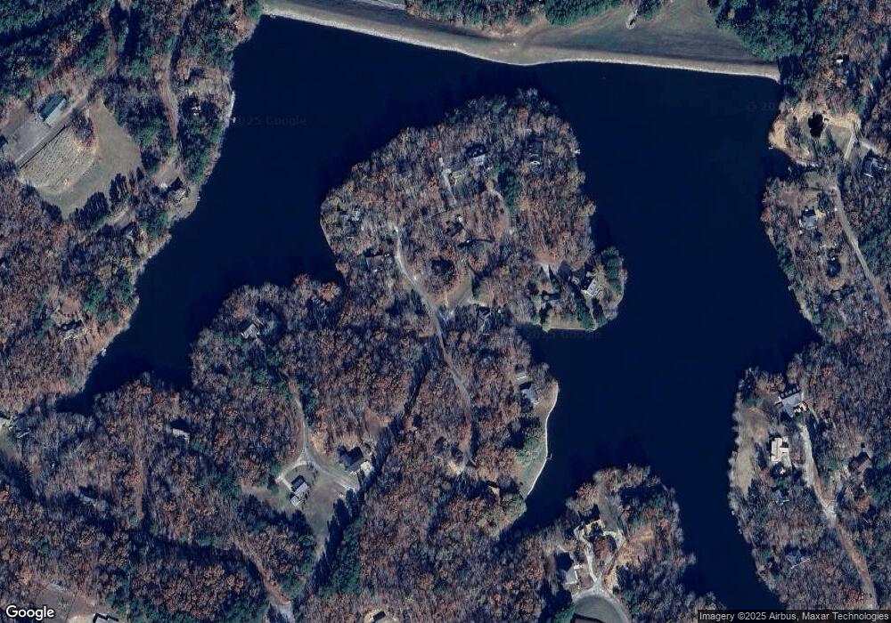
127 Woodrun Cir Middleton, TN 38052
Estimated Value: $53,832 - $439,000
--
Bed
--
Bath
--
Sq Ft
7,492
Sq Ft Lot
About This Home
This home is located at 127 Woodrun Cir, Middleton, TN 38052 and is currently estimated at $200,277. 127 Woodrun Cir is a home with nearby schools including Middleton Elementary School and Middleton High School.
Ownership History
Date
Name
Owned For
Owner Type
Purchase Details
Closed on
Apr 30, 2021
Sold by
German Donnie Cheryl
Bought by
Henry Heather
Current Estimated Value
Purchase Details
Closed on
Apr 18, 2019
Sold by
Hisaw Tim
Bought by
German Donnie
Purchase Details
Closed on
Mar 29, 2016
Sold by
Landis Chalmer
Bought by
Hisaw Tim
Purchase Details
Closed on
Feb 24, 2006
Sold by
Landis Robby E
Bought by
Chalmer Landis
Purchase Details
Closed on
Nov 12, 1985
Bought by
Landis Robbie and Landis Cynthia
Purchase Details
Closed on
Apr 1, 1985
Bought by
Landis Robbie and Landis Cynthia
Purchase Details
Closed on
Apr 23, 1982
Purchase Details
Closed on
Dec 16, 1973
Create a Home Valuation Report for This Property
The Home Valuation Report is an in-depth analysis detailing your home's value as well as a comparison with similar homes in the area
Home Values in the Area
Average Home Value in this Area
Purchase History
| Date | Buyer | Sale Price | Title Company |
|---|---|---|---|
| Henry Heather | -- | None Available | |
| Henry Heather | -- | None Available | |
| German Donnie | -- | -- | |
| Hisaw Tim | -- | -- | |
| Chalmer Landis | $500 | -- | |
| Landis Robbie | -- | -- | |
| Landis Robbie | -- | -- | |
| -- | -- | -- | |
| -- | -- | -- |
Source: Public Records
Tax History Compared to Growth
Tax History
| Year | Tax Paid | Tax Assessment Tax Assessment Total Assessment is a certain percentage of the fair market value that is determined by local assessors to be the total taxable value of land and additions on the property. | Land | Improvement |
|---|---|---|---|---|
| 2024 | $11 | $600 | $550 | $50 |
| 2023 | $11 | $600 | $550 | $50 |
| 2022 | $14 | $550 | $500 | $50 |
| 2021 | $13 | $500 | $500 | $0 |
| 2020 | $13 | $500 | $500 | $0 |
| 2019 | $13 | $500 | $500 | $0 |
| 2018 | $13 | $500 | $500 | $0 |
| 2017 | $18 | $700 | $700 | $0 |
| 2016 | $18 | $700 | $700 | $0 |
| 2015 | $18 | $700 | $700 | $0 |
| 2014 | $18 | $700 | $700 | $0 |
Source: Public Records
Map
Nearby Homes
- 54 Campfire Cove Unit C54
- 111 Woodrun Cir Unit WR111
- 0 Woodrun Dr Wr C38 Dr
- 205 -207 Huckleberry Dr
- 151 Woodrun Cir
- 182 Fawn Dr Unit WR182
- 76 Quail Dr Unit WR
- 64 Woodrun Dr Unit WR64
- 12990 Highway 57
- 0 Edgewater Dr Unit Lots 87 and 89
- 65 Woodrun Dr Unit WR65
- 13000 Highway 57
- 66 Woodrun Dr
- 35 & 36 Old Roger Dr Unit WR35
- 154 Oak Grove Rd
- 0 Huckleberry Dr Unit RS202 10198336
- 0 Dogwood Dr Unit WR17
- 19 Dogwood Dr Unit WR19
- 0 Foster Rd
- 0 Burgess Loop
- 129 Woodrun Cir
- 130 Woodrun Cir
- 419 Woodrun Dr
- 418 Woodrun Dr
- 417 Woodrun Dr
- 7 Woodrun Dr
- 416 Woodrun Dr
- 119 Woodrun Cir
- 415 Woodrun Dr
- 118 Woodrun Cir
- 414 Woodrun Dr
- 3 Woodrun Dr
- 137 Woodrun Dr
- 29 W Sycamore Cove
- 334 Clear Creek Dr
- 413 Woodrun Dr
- 138 Woodrun Cir
- 116 Woodrun Cir
- 28 W Sycamore Cove
- 23 W Sycamore Cove
