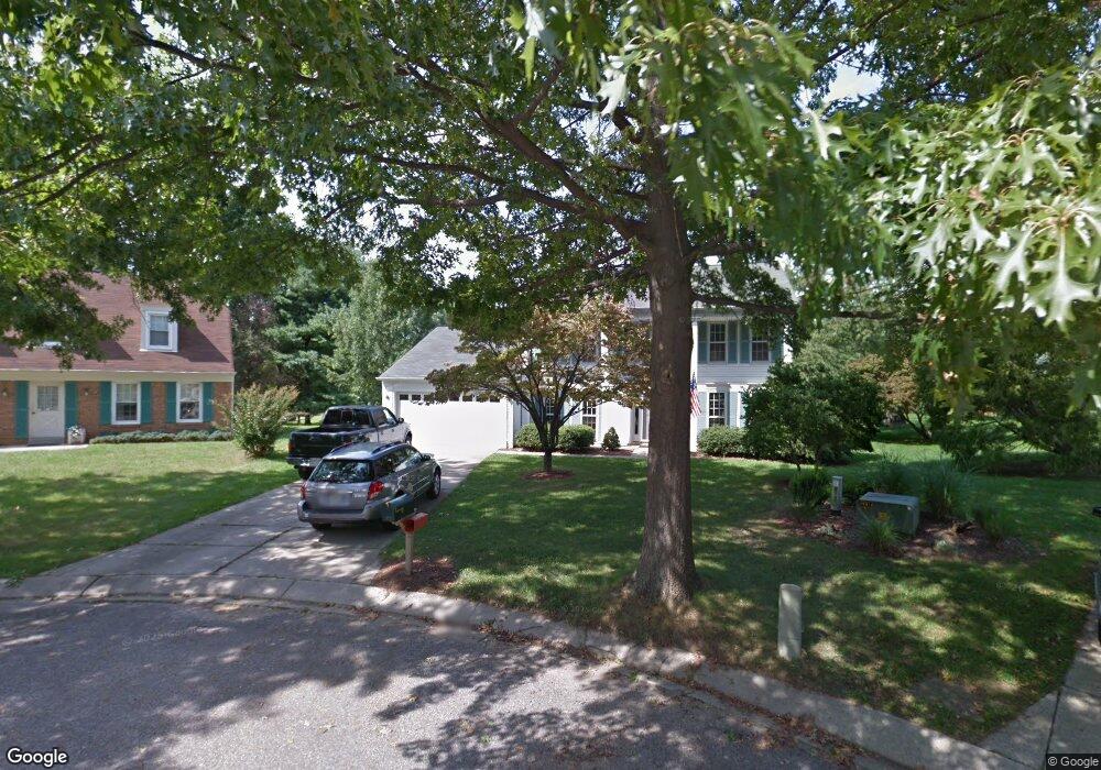
1270 Log Canoe Ct Annapolis, MD 21403
Estimated Value: $732,580 - $896,000
Studio
3
Baths
2,232
Sq Ft
$361/Sq Ft
Est. Value
About This Home
This home is located at 1270 Log Canoe Ct, Annapolis, MD 21403 and is currently estimated at $806,645, approximately $361 per square foot. 1270 Log Canoe Ct is a home located in Anne Arundel County with nearby schools including Georgetown East Elementary School, Annapolis Middle School, and Annapolis High School.
Ownership History
Date
Name
Owned For
Owner Type
Purchase Details
Closed on
Dec 31, 2001
Sold by
Clotworthy John H
Bought by
Hargadon Michael D and Hargadon Virginia M
Current Estimated Value
Purchase Details
Closed on
Dec 9, 1999
Sold by
Clotworthy John H
Bought by
Clotworthy John H and Clotworthy Martha W
Purchase Details
Closed on
Jun 8, 1988
Sold by
Koplin Richard L
Bought by
Clotworthy John H
Create a Home Valuation Report for This Property
The Home Valuation Report is an in-depth analysis detailing your home's value as well as a comparison with similar homes in the area
Home Values in the Area
Average Home Value in this Area
Purchase History
| Date | Buyer | Sale Price | Title Company |
|---|---|---|---|
| Hargadon Michael D | $295,000 | -- | |
| Clotworthy John H | -- | -- | |
| Clotworthy John H | $175,000 | -- |
Source: Public Records
Mortgage History
| Date | Status | Borrower | Loan Amount |
|---|---|---|---|
| Closed | Hargadon Michael D | -- |
Source: Public Records
Tax History
| Year | Tax Paid | Tax Assessment Tax Assessment Total Assessment is a certain percentage of the fair market value that is determined by local assessors to be the total taxable value of land and additions on the property. | Land | Improvement |
|---|---|---|---|---|
| 2025 | $4,479 | $579,467 | -- | -- |
| 2024 | $4,479 | $557,333 | $0 | $0 |
| 2023 | $4,351 | $535,200 | $309,800 | $225,400 |
| 2022 | $4,087 | $529,767 | $0 | $0 |
| 2020 | $3,904 | $518,900 | $294,800 | $224,100 |
| 2019 | $3,838 | $508,700 | $0 | $0 |
| 2018 | $5,055 | $498,500 | $0 | $0 |
| 2017 | $3,646 | $488,300 | $0 | $0 |
| 2016 | -- | $468,933 | $0 | $0 |
| 2015 | -- | $449,567 | $0 | $0 |
| 2014 | -- | $430,200 | $0 | $0 |
Source: Public Records
Map
Nearby Homes
- 3135 Anchorage Dr
- 1106 Mainsail Dr
- 1202 Chrisland Ct
- 3233 Chrisland Dr
- 2656A Queen Anne Cir
- 143 A E Lake Dr
- 2654 Ogleton Rd
- 90 E Lake Dr
- 48 E Lake Dr
- 2644 Claibourne Rd
- 3 Barry Ave
- 3123 Arundel on The Bay Rd
- 3123 Arundel On the Bay Road - Harrison Model
- 1009 Old Bay Ridge Rd
- 3249 Arundel on The Bay Rd
- 2 River Dr
- 3280 Arundel on The Bay Rd
- 113 Bay Dr
- 933 Breakwater Dr
- 3268 Kitty Duvall Dr
- 1271 Log Canoe Ct
- 3115 Drogue Ct
- 1272 Log Canoe Ct
- 3126 Catrina Ln
- 3128 Catrina Ln
- 3113 Drogue Ct
- 3130 Catrina Ln
- 3117 Drogue Ct
- 1273 Log Canoe Ct
- 3124 Catrina Ln
- 1274 Log Canoe Ct
- 3132 Catrina Ln
- 3111 Drogue Ct
- 1275 Log Canoe Ct
- 3122 Catrina Ln
- 3134 Catrina Ln
- 3116 Drogue Ct
- 1276 Log Canoe Ct
- 3120 Catrina Ln
- 3109 Drogue Ct
Your Personal Tour Guide
Ask me questions while you tour the home.