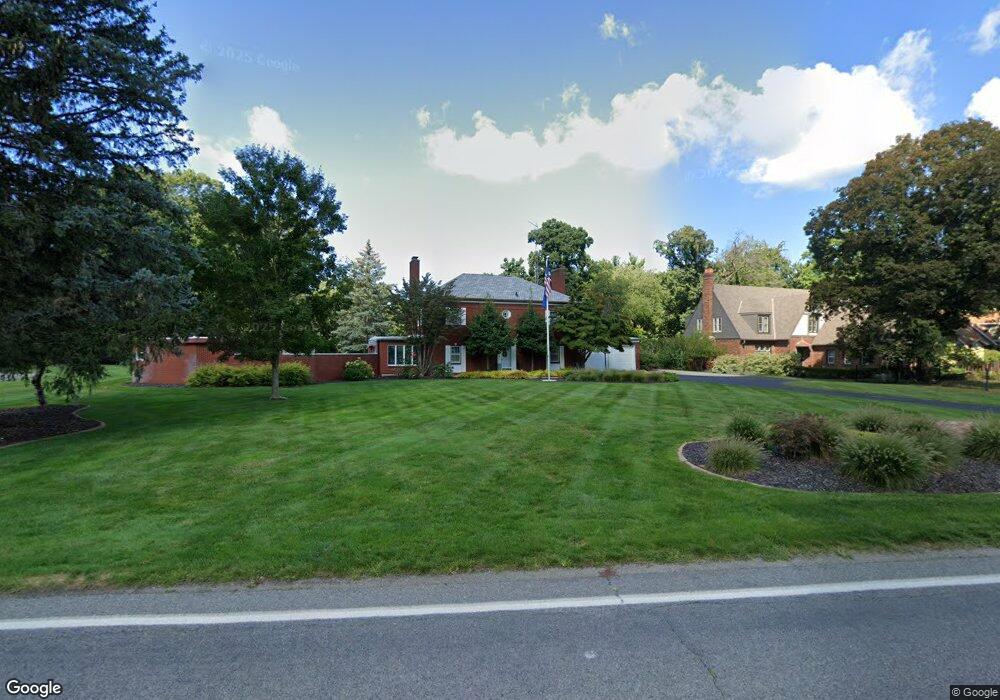
1270 Miami Rd Benton Harbor, MI 49022
Fair Plain NeighborhoodEstimated Value: $198,000 - $782,000
3
Beds
4
Baths
2,965
Sq Ft
$184/Sq Ft
Est. Value
About This Home
This home is located at 1270 Miami Rd, Benton Harbor, MI 49022 and is currently estimated at $544,207, approximately $183 per square foot. 1270 Miami Rd is a home located in Berrien County with nearby schools including Fair Plain Middle School, Benton Harbor High School, and Benton Harbor Charter School Academy.
Ownership History
Date
Name
Owned For
Owner Type
Purchase Details
Closed on
Sep 15, 2021
Sold by
Zencka Judith
Bought by
Zencka Judith Ann and Judith Ann Zencka Revocable Li
Current Estimated Value
Purchase Details
Closed on
May 5, 2010
Sold by
Zencka Allen E and Allen E Zencka Trust
Bought by
Zencka Allen and Zencka Judith
Home Financials for this Owner
Home Financials are based on the most recent Mortgage that was taken out on this home.
Original Mortgage
$300,000
Interest Rate
5.16%
Mortgage Type
New Conventional
Purchase Details
Closed on
Sep 18, 1995
Purchase Details
Closed on
Oct 26, 1990
Purchase Details
Closed on
Aug 3, 1987
Purchase Details
Closed on
Dec 14, 1982
Purchase Details
Closed on
Mar 6, 1980
Purchase Details
Closed on
Sep 1, 1975
Create a Home Valuation Report for This Property
The Home Valuation Report is an in-depth analysis detailing your home's value as well as a comparison with similar homes in the area
Home Values in the Area
Average Home Value in this Area
Purchase History
| Date | Buyer | Sale Price | Title Company |
|---|---|---|---|
| Zencka Judith Ann | -- | None Available | |
| Zencka Allen | -- | Chicago Title | |
| -- | $100 | -- | |
| -- | $100 | -- | |
| -- | -- | -- | |
| -- | $106,000 | -- | |
| -- | -- | -- | |
| -- | $70,000 | -- |
Source: Public Records
Mortgage History
| Date | Status | Borrower | Loan Amount |
|---|---|---|---|
| Closed | Zencka Allen | $300,000 |
Source: Public Records
Tax History Compared to Growth
Tax History
| Year | Tax Paid | Tax Assessment Tax Assessment Total Assessment is a certain percentage of the fair market value that is determined by local assessors to be the total taxable value of land and additions on the property. | Land | Improvement |
|---|---|---|---|---|
| 2025 | $4,914 | $379,500 | $0 | $0 |
| 2024 | $2,964 | $335,100 | $0 | $0 |
| 2023 | $2,822 | $316,700 | $0 | $0 |
| 2022 | $2,688 | $270,800 | $0 | $0 |
| 2021 | $4,311 | $194,300 | $56,000 | $138,300 |
| 2020 | $4,015 | $196,200 | $0 | $0 |
| 2019 | $3,843 | $184,900 | $65,800 | $119,100 |
| 2018 | $3,660 | $184,900 | $0 | $0 |
| 2017 | $3,610 | $183,800 | $0 | $0 |
| 2016 | $3,509 | $181,300 | $0 | $0 |
| 2015 | $3,500 | $179,000 | $0 | $0 |
| 2014 | $2,279 | $177,000 | $0 | $0 |
Source: Public Records
Map
Nearby Homes
- 513 N Ottawa Rd
- 379 Western Ave
- 304 W May St
- 1000 Riverview Dr Unit 11
- 1510 Moccasin Trail
- 1565 Miami Rd
- 2108 Langley Ave
- 202 Searles Ave
- 1525 Moccasin Trail
- 484 W Napier Ave
- 1235 Colfax Ave
- 424 W Napier Ave
- 1311 Wolcott Ave
- 2019 Sunset Dr
- 1325 Michigan Ave
- 180 Emery Ave
- 398 Anchors Way Unit 82s
- 398 Anchors Way Unit 87s
- 1328 Harrison Ave
- 941 Colfax Ave