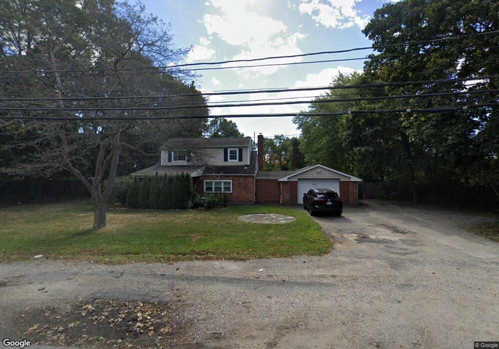
1270 Motor Pkwy Islandia, NY 11749
Estimated Value: $576,217 - $973,000
--
Bed
--
Bath
--
Sq Ft
1.2
Acres
About This Home
This home is located at 1270 Motor Pkwy, Islandia, NY 11749 and is currently estimated at $688,804. 1270 Motor Pkwy is a home located in Suffolk County with nearby schools including Anthony Alfano Elementary School and Central Islip Senior High School.
Ownership History
Date
Name
Owned For
Owner Type
Purchase Details
Closed on
Sep 8, 2014
Sold by
1557 1270 Realty Llc
Bought by
Mullane Steven
Current Estimated Value
Home Financials for this Owner
Home Financials are based on the most recent Mortgage that was taken out on this home.
Original Mortgage
$100,000
Interest Rate
4.14%
Mortgage Type
New Conventional
Purchase Details
Closed on
Mar 25, 2002
Sold by
Singh Frank and Singh Kamala
Bought by
1557-1270 Realty Llc
Create a Home Valuation Report for This Property
The Home Valuation Report is an in-depth analysis detailing your home's value as well as a comparison with similar homes in the area
Home Values in the Area
Average Home Value in this Area
Purchase History
| Date | Buyer | Sale Price | Title Company |
|---|---|---|---|
| Mullane Steven | $150,000 | -- | |
| 1557 1270 Realty Llc | -- | -- | |
| Mullane Steven | $150,000 | -- | |
| 1557-1270 Realty Llc | -- | Commonwealth Land Title Ins | |
| 1557-1270 Realty Llc | -- | Commonwealth Land Title Ins |
Source: Public Records
Mortgage History
| Date | Status | Borrower | Loan Amount |
|---|---|---|---|
| Closed | Mullane Steven | $100,000 | |
| Closed | Mullane Steven | $0 |
Source: Public Records
Tax History Compared to Growth
Tax History
| Year | Tax Paid | Tax Assessment Tax Assessment Total Assessment is a certain percentage of the fair market value that is determined by local assessors to be the total taxable value of land and additions on the property. | Land | Improvement |
|---|---|---|---|---|
| 2024 | -- | $35,000 | $19,200 | $15,800 |
| 2023 | -- | $35,000 | $19,200 | $15,800 |
| 2022 | $9,610 | $35,000 | $19,200 | $15,800 |
| 2021 | $9,610 | $35,000 | $19,200 | $15,800 |
| 2020 | $10,247 | $35,000 | $19,200 | $15,800 |
| 2019 | $9,610 | $0 | $0 | $0 |
| 2018 | -- | $35,000 | $19,200 | $15,800 |
| 2017 | $9,673 | $35,000 | $19,200 | $15,800 |
| 2016 | $9,598 | $35,000 | $19,200 | $15,800 |
| 2015 | -- | $35,000 | $19,200 | $15,800 |
| 2014 | -- | $35,000 | $19,200 | $15,800 |
Source: Public Records
Map
Nearby Homes
- 123 Feller Dr
- 229 Feller Dr
- 0 Bridge Rd Unit KEY814925
- 3 Milford Dr
- 71 Adams Rd Unit 1G
- 71 Adams Rd Unit E 2A
- 154 Mac Arthur Blvd
- 228 Feller Dr
- 57 Adams Rd Unit 1H
- 288 Feller Dr
- 30 Milano Ave
- 232 Sugarwood Ln
- 126 Roosevelt Blvd
- 257 Fruitwood Ln
- 34 Hilliard Ave
- 11 Joyce Dr
- 30 Oakdale Ave
- 189 Whitetail Ln
- 18 Hilliard Ave
- 25 Hawthorne Ave