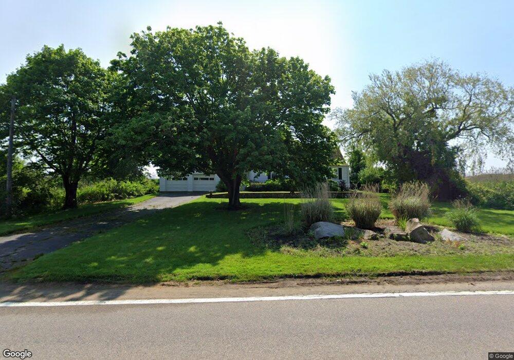
1270 Ocean Rd Narragansett, RI 02882
Estimated Value: $931,000 - $1,406,000
2
Beds
1
Bath
1,102
Sq Ft
$1,026/Sq Ft
Est. Value
About This Home
This home is located at 1270 Ocean Rd, Narragansett, RI 02882 and is currently estimated at $1,131,055, approximately $1,026 per square foot. 1270 Ocean Rd is a home located in Washington County with nearby schools including Narragansett Elementary School, Narragansett Pier Middle School, and Narragansett High School.
Create a Home Valuation Report for This Property
The Home Valuation Report is an in-depth analysis detailing your home's value as well as a comparison with similar homes in the area
Home Values in the Area
Average Home Value in this Area
Tax History Compared to Growth
Tax History
| Year | Tax Paid | Tax Assessment Tax Assessment Total Assessment is a certain percentage of the fair market value that is determined by local assessors to be the total taxable value of land and additions on the property. | Land | Improvement |
|---|---|---|---|---|
| 2025 | $8,218 | $1,210,300 | $966,400 | $243,900 |
| 2024 | $7,927 | $1,210,300 | $966,400 | $243,900 |
| 2023 | $7,938 | $852,600 | $690,400 | $162,200 |
| 2022 | $7,673 | $852,600 | $690,400 | $162,200 |
| 2021 | $7,554 | $852,600 | $690,400 | $162,200 |
| 2020 | $6,872 | $655,700 | $481,500 | $174,200 |
| 2019 | $6,708 | $655,700 | $481,500 | $174,200 |
| 2018 | $6,524 | $655,700 | $481,500 | $174,200 |
| 2017 | $6,651 | $629,800 | $492,500 | $137,300 |
| 2016 | $6,348 | $629,800 | $492,500 | $137,300 |
| 2015 | $6,260 | $629,800 | $492,500 | $137,300 |
| 2014 | $6,323 | $629,800 | $492,500 | $137,300 |
Source: Public Records
Map
Nearby Homes
- 100 Chestnut Ave
- 0 Hemlock Ave
- 4 Lane 3
- 6 Lane 4
- 0 Point Judith Rd
- 89 Sand Hill Cove Rd
- 8 Pocono Rd
- 0 Houston Ave
- 110 Houston Ave
- 124 Houston Ave
- 129 Sand Hill Cove Rd
- 8 Knowlesway
- 18 Greenbrier Rd
- 31 E Pond Rd
- 45 Durkin Dr
- 232 Sand Hill Cove Rd Unit 232 C
- 271 Great Island Rd
- 64 Burnside Ave
- 25 Scallop Shell Rd
- 17 Goose Island Rd