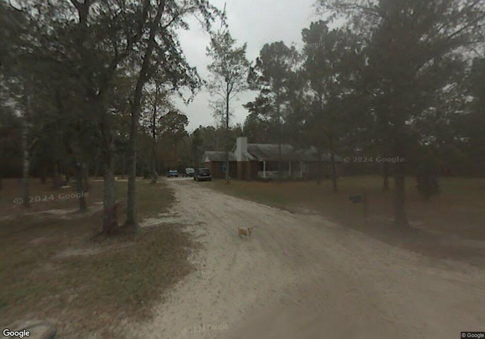
1270 Phillips Rd Midway, GA 31320
Estimated Value: $180,000 - $335,000
4
Beds
2
Baths
2,127
Sq Ft
$117/Sq Ft
Est. Value
About This Home
This home is located at 1270 Phillips Rd, Midway, GA 31320 and is currently estimated at $248,667, approximately $116 per square foot. 1270 Phillips Rd is a home located in Liberty County with nearby schools including Liberty Elementary School, Midway Middle School, and Liberty County High School.
Ownership History
Date
Name
Owned For
Owner Type
Purchase Details
Closed on
Jul 17, 2003
Sold by
Heritage Bank
Bought by
Elliott Henry C and Elliott Kristine M
Current Estimated Value
Purchase Details
Closed on
Sep 4, 2001
Sold by
Phillips Fred E
Bought by
Elliott Henry and Elliott Kristine
Purchase Details
Closed on
Mar 3, 2000
Sold by
Elliott Henry C and Elliott Kristine M
Bought by
Elliott Henry C and Elliott Kristine M
Purchase Details
Closed on
Mar 13, 1998
Bought by
Elliott Henry C and Elliott Kristine M
Purchase Details
Closed on
May 26, 1989
Bought by
Phillips Fred E
Create a Home Valuation Report for This Property
The Home Valuation Report is an in-depth analysis detailing your home's value as well as a comparison with similar homes in the area
Purchase History
| Date | Buyer | Sale Price | Title Company |
|---|---|---|---|
| Elliott Henry C | -- | -- | |
| Elliott Henry | $8,000 | -- | |
| Elliott Henry C | $28,000 | -- | |
| Elliott Henry C | $19,500 | -- | |
| Phillips Fred E | -- | -- |
Source: Public Records
Tax History
| Year | Tax Paid | Tax Assessment Tax Assessment Total Assessment is a certain percentage of the fair market value that is determined by local assessors to be the total taxable value of land and additions on the property. | Land | Improvement |
|---|---|---|---|---|
| 2024 | $896 | $21,219 | $18,373 | $2,846 |
| 2023 | $820 | $21,300 | $18,373 | $2,927 |
| 2022 | $823 | $21,382 | $18,373 | $3,009 |
| 2021 | $841 | $21,937 | $18,373 | $3,564 |
| 2020 | $855 | $22,207 | $18,373 | $3,834 |
| 2019 | $845 | $22,547 | $18,373 | $4,174 |
| 2018 | $2,624 | $71,769 | $18,357 | $53,412 |
| 2017 | $2,221 | $67,461 | $16,522 | $50,939 |
Source: Public Records
Map
Nearby Homes
- 776 Phillips Rd
- 590 Wilkins Rd
- 455 Tondee Way
- 435 Wilkins Rd
- 2022 Luke Rd
- 195 Wilkins Rd
- 0 Oak Ct Unit SA331468
- 0 Oak Ct Unit 160688
- 70 Pate Rogers Rd
- 131 Haven Rd
- 0 Leroy Coffer Hwy Unit SA349938
- 28 Deer Trail Ln
- 29 Sassafras Ln
- 51 Lachlan Ln
- 36 Tawny Ct
- 42 Greenwood
- 0 Pelican Cove Unit 10688493
- 0 Pelican Cove Unit 166654
- 138-140 Dogwood Ln
- 152-155 Dogwood Ln
- 1076 Phillips Rd
- 1122 Oak Hampton Rd
- 70 Stewart Rd
- 70 Stewart Rd
- 421 Phillipsville Rd
- 312 Phillipsville Rd
- 1311 Oak Hampton Rd
- 1284 Oak Hampton Rd
- 0 Phillips Ln
- 0 Phillips Ln Unit 8162139
- 0 Phillips Ln Unit 8313476
- 1174 Oak Hampton Rd
- 136 Stewart Rd
- 1118 Oak Hampton Rd
- 1481 Freedman Grove Rd
- 234 Phillipsville Rd
- 1141 Oak Hampton Rd
- 1467 Freedman Grove Rd
- 1039 Oak Hampton Rd
- 288 Phillips Ln
Your Personal Tour Guide
Ask me questions while you tour the home.