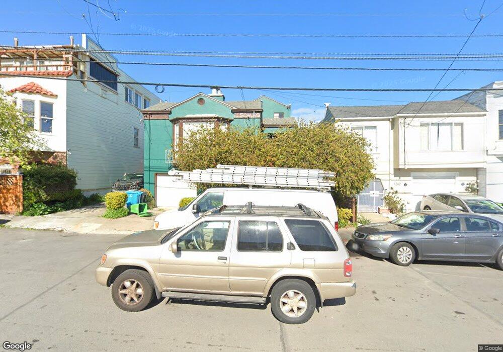
1270 Quesada Ave San Francisco, CA 94124
Bayview NeighborhoodEstimated Value: $1,035,000 - $1,198,221
2
Beds
2
Baths
2,092
Sq Ft
$529/Sq Ft
Est. Value
About This Home
This home is located at 1270 Quesada Ave, San Francisco, CA 94124 and is currently estimated at $1,106,055, approximately $528 per square foot. 1270 Quesada Ave is a home located in San Francisco County with nearby schools including Carver (George Washington) Elementary School, Willie L. Brown Jr. Middle School, and KIPP Bayview Elementary.
Ownership History
Date
Name
Owned For
Owner Type
Purchase Details
Closed on
Jun 10, 2013
Sold by
Hill Julian A
Bought by
Tafzil Ruly S and Tafzil Samuel A
Current Estimated Value
Home Financials for this Owner
Home Financials are based on the most recent Mortgage that was taken out on this home.
Original Mortgage
$480,000
Outstanding Balance
$339,613
Interest Rate
3.37%
Mortgage Type
New Conventional
Estimated Equity
$766,442
Purchase Details
Closed on
Nov 18, 2006
Sold by
Hill Samuel A
Bought by
Hill Samuel A
Create a Home Valuation Report for This Property
The Home Valuation Report is an in-depth analysis detailing your home's value as well as a comparison with similar homes in the area
Home Values in the Area
Average Home Value in this Area
Purchase History
| Date | Buyer | Sale Price | Title Company |
|---|---|---|---|
| Tafzil Ruly S | $600,000 | North American Title Company | |
| Hill Samuel A | -- | None Available |
Source: Public Records
Mortgage History
| Date | Status | Borrower | Loan Amount |
|---|---|---|---|
| Open | Tafzil Ruly S | $480,000 |
Source: Public Records
Tax History Compared to Growth
Tax History
| Year | Tax Paid | Tax Assessment Tax Assessment Total Assessment is a certain percentage of the fair market value that is determined by local assessors to be the total taxable value of land and additions on the property. | Land | Improvement |
|---|---|---|---|---|
| 2025 | $10,157 | $822,850 | $517,188 | $305,662 |
| 2024 | $10,157 | $806,720 | $507,048 | $299,672 |
| 2023 | $9,998 | $790,904 | $497,106 | $293,798 |
| 2022 | $9,798 | $775,400 | $487,360 | $288,040 |
| 2021 | $9,620 | $760,198 | $477,804 | $282,394 |
| 2020 | $9,674 | $752,408 | $472,906 | $279,502 |
| 2019 | $9,343 | $737,658 | $463,634 | $274,024 |
| 2018 | $9,028 | $723,196 | $454,544 | $268,652 |
| 2017 | $8,622 | $709,018 | $445,632 | $263,386 |
| 2016 | $8,466 | $695,120 | $436,896 | $258,224 |
| 2015 | $8,360 | $684,680 | $430,334 | $254,346 |
| 2014 | $7,334 | $602,722 | $421,906 | $180,816 |
Source: Public Records
Map
Nearby Homes
- 1143 Palou Ave
- 0 Ship St Unit HD24144152
- 0 Ship St Unit HD24144130
- 0 Ship St Unit HD24144117
- 0 Ship St Unit HD24144142
- 1278 Thomas Ave
- 1414 Shafter Ave
- 1379-1381 Palou Ave
- 59 Kiska Rd
- 19 Progress St
- 1942 Jennings St
- 1411 Oakdale Ave
- 1463 Thomas Ave
- 1537 Revere Ave
- 1484 Newcomb Ave
- 983 Innes Ave
- 1590 Underwood Ave
- 1688 Wallace Ave Unit 304
- 5264 3rd St Unit 303
- 1739 Quesada Ave
- 1274 Quesada Ave
- 1262 Quesada Ave
- 1258 Quesada Ave
- 1282 Quesada Ave
- 1254 Quesada Ave
- 1167 Palou Ave
- 1163 Palou Ave
- 1175 Palou Ave
- 1250 Quesada Ave
- 1159 Palou Ave
- 1155 Palou Ave
- 1183 Palou Ave
- 1246 Quesada Ave
- 1273 Quesada Ave
- 1533 Ingalls St
- 1545 Ingalls St
- 1527 Ingalls St
- 1151 Palou Ave Unit 1153
- 1187 Palou Ave