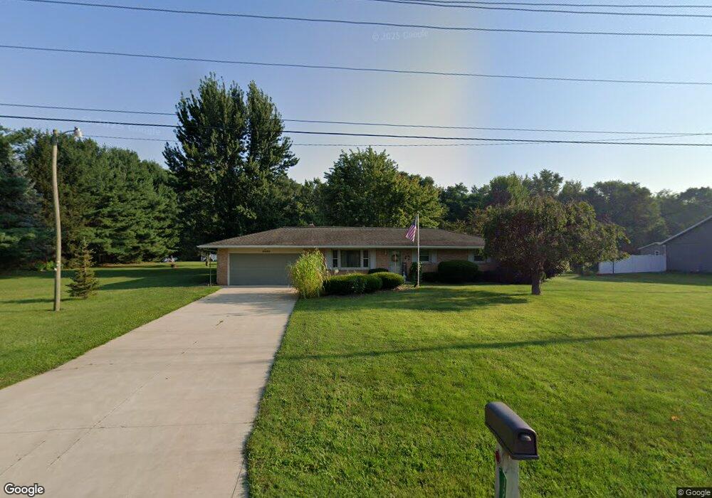
12705 Anderson Rd Granger, IN 46530
Estimated Value: $268,000 - $283,000
3
Beds
2
Baths
1,150
Sq Ft
$242/Sq Ft
Est. Value
About This Home
This home is located at 12705 Anderson Rd, Granger, IN 46530 and is currently estimated at $278,244, approximately $241 per square foot. 12705 Anderson Rd is a home located in St. Joseph County with nearby schools including Mary Frank Harris Elementary School, Discovery Middle School, and Penn High School.
Ownership History
Date
Name
Owned For
Owner Type
Purchase Details
Closed on
Aug 2, 2018
Sold by
Cabanaw Larry L
Bought by
Cabanaw Mary L
Current Estimated Value
Home Financials for this Owner
Home Financials are based on the most recent Mortgage that was taken out on this home.
Original Mortgage
$77,000
Outstanding Balance
$66,027
Interest Rate
4.5%
Mortgage Type
New Conventional
Estimated Equity
$212,217
Create a Home Valuation Report for This Property
The Home Valuation Report is an in-depth analysis detailing your home's value as well as a comparison with similar homes in the area
Home Values in the Area
Average Home Value in this Area
Purchase History
| Date | Buyer | Sale Price | Title Company |
|---|---|---|---|
| Cabanaw Mary L | $102,410 | -- |
Source: Public Records
Mortgage History
| Date | Status | Borrower | Loan Amount |
|---|---|---|---|
| Open | Cabanaw Mary L | $77,000 |
Source: Public Records
Tax History
| Year | Tax Paid | Tax Assessment Tax Assessment Total Assessment is a certain percentage of the fair market value that is determined by local assessors to be the total taxable value of land and additions on the property. | Land | Improvement |
|---|---|---|---|---|
| 2025 | $2,048 | $262,500 | $72,900 | $189,600 |
| 2024 | $1,668 | $238,300 | $72,900 | $165,400 |
| 2023 | $1,917 | $211,000 | $73,600 | $137,400 |
| 2022 | $1,917 | $222,200 | $73,600 | $148,600 |
| 2021 | $1,760 | $193,100 | $57,100 | $136,000 |
| 2020 | $1,537 | $176,700 | $53,200 | $123,500 |
| 2019 | $1,365 | $161,500 | $48,700 | $112,800 |
| 2018 | $1,194 | $148,800 | $44,400 | $104,400 |
| 2017 | $1,069 | $153,300 | $44,400 | $108,900 |
| 2016 | $1,047 | $151,700 | $44,400 | $107,300 |
| 2014 | $654 | $119,000 | $35,300 | $83,700 |
Source: Public Records
Map
Nearby Homes
- 12793 Brick Rd Unit Lot 4
- 51633 Bitterly Ct
- 12983 Brick Rd
- 52070 Olympus Pass
- 52118 Olympus Pass
- 52130 Olympus Pass
- 52215 Wayne Ct N
- 51272 Bittersweet Rd
- 12338 Ashland St
- 51866 Columbine Dr
- 51772 Currant Rd
- 14766 Saleem Ct
- 51950 Chicory Ln
- 13206 Adams Rd
- 51877 Gentian Ln
- 52335 Gumwood Dr
- 16371 Greystone Dr
- 16391 Greystone Dr Unit 2
- 12064 Adams Rd
- 13733 Brick Rd
- 12733 Anderson Rd
- 12677 Anderson Rd
- 12717 Mark Ct
- 51771 Cheryl Dr
- 12643 Anderson Rd
- 12670 Anderson Rd
- 12733 Mark Ct
- 51780 Sharon Ct
- 51796 Cheryl Dr
- 12755 Anderson Rd
- 51789 Sharon Ct
- 12611 Anderson Rd
- 51823 Cheryl Dr
- 51820 Cheryl Dr
- 12744 Mark Ct
- 12632 Anderson Rd
- 51777 Sharon Ct
- 51810 Sharon Ct
- 12720 Mark Ct
- 12587 Anderson Rd
Your Personal Tour Guide
Ask me questions while you tour the home.