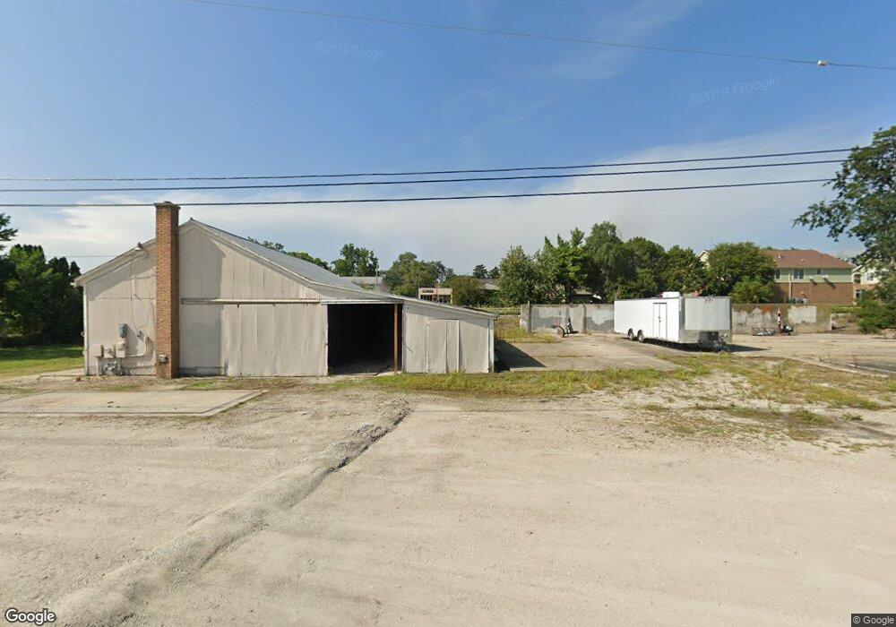
12705 Chriszar Dr Mokena, IL 60448
Estimated Value: $848,890 - $1,008,000
Studio
--
Bath
--
Sq Ft
13,068
Sq Ft Lot
About This Home
This home is located at 12705 Chriszar Dr, Mokena, IL 60448 and is currently estimated at $928,445. 12705 Chriszar Dr is a home located in Will County with nearby schools including Spencer Trail, Spencer Pointe, and Spencer Crossing Intermediate School.
Ownership History
Date
Name
Owned For
Owner Type
Purchase Details
Closed on
Aug 31, 2015
Sold by
Sleeman Construction Inc
Bought by
Blaze Thomas J and Blaze Karen M
Current Estimated Value
Home Financials for this Owner
Home Financials are based on the most recent Mortgage that was taken out on this home.
Original Mortgage
$417,000
Outstanding Balance
$323,441
Interest Rate
3.87%
Mortgage Type
New Conventional
Estimated Equity
$605,004
Purchase Details
Closed on
Dec 6, 2013
Sold by
Marquette Bank
Bought by
Sleeman Construction Inc
Create a Home Valuation Report for This Property
The Home Valuation Report is an in-depth analysis detailing your home's value as well as a comparison with similar homes in the area
Home Values in the Area
Average Home Value in this Area
Purchase History
| Date | Buyer | Sale Price | Title Company |
|---|---|---|---|
| Blaze Thomas J | $660,000 | Greater Illinois Title Co | |
| Sleeman Construction Inc | $110,800 | Fidelity National Title |
Source: Public Records
Mortgage History
| Date | Status | Borrower | Loan Amount |
|---|---|---|---|
| Open | Blaze Thomas J | $417,000 |
Source: Public Records
Tax History
| Year | Tax Paid | Tax Assessment Tax Assessment Total Assessment is a certain percentage of the fair market value that is determined by local assessors to be the total taxable value of land and additions on the property. | Land | Improvement |
|---|---|---|---|---|
| 2024 | $22,546 | $287,124 | $63,169 | $223,955 |
| 2023 | $22,546 | $261,735 | $57,583 | $204,152 |
| 2022 | $20,305 | $241,119 | $53,047 | $188,072 |
| 2021 | $19,457 | $228,140 | $49,889 | $178,251 |
| 2020 | $18,932 | $248,678 | $48,109 | $200,569 |
| 2019 | $20,577 | $240,967 | $46,617 | $194,350 |
| 2018 | $20,119 | $232,660 | $45,010 | $187,650 |
| 2017 | $19,137 | $225,971 | $43,716 | $182,255 |
| 2016 | $18,611 | $219,923 | $42,546 | $177,377 |
| 2015 | $3,595 | $41,207 | $41,207 | $0 |
| 2014 | $3,595 | $40,698 | $40,698 | $0 |
| 2013 | $3,595 | $41,247 | $41,247 | $0 |
Source: Public Records
Map
Nearby Homes
- 12752 Berkshire Dr
- 12432 Tahoe Ln
- 19834 Wilshire Ct
- 800 N Marley Rd
- 1245 Georgias Way
- 639 N Marley Rd
- 1212 Georgias Way
- 1193 Georgias Way
- 1110 Lakeside Dr
- 12858 W Regan Rd
- 0000 W Regan Rd
- 320 Garfield Ave
- 1351 E Lincoln Hwy
- 12002 Ashbrook Ln
- 1956 Cornell Dr
- 11550 Francis Rd
- 11608 197th St
- 1605 S Regan Rd
- 830 Wagon Dr
- 836 Regent St
- 19930 Amberly Ct
- 12659 Chiszar Dr
- 12713 Chiszar Dr
- 12653 Chiszar Dr
- 19924 Amberly Ct
- 12650 Chiszar Dr
- 19941 Berkshire Dr
- 12647 Chiszar Dr
- 19931 Berkshire Dr
- 19918 Amberly Ct
- 19951 Berkshire Dr
- 12636 Chiszar Dr
- 12641 Chiszar Dr
- 19921 Berkshire Dr
- 19913 Amberly Ct
- 19908 Amberly Ct
- 12635 Chiszar Dr
- 19907 Amberly Ct
- 19915 Berkshire Dr
- 12630 Chiszar Dr
Your Personal Tour Guide
Ask me questions while you tour the home.