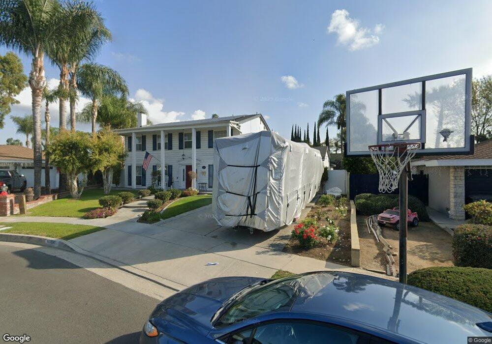
12706 Barbata Rd La Mirada, CA 90638
Estimated Value: $1,200,000 - $1,390,000
4
Beds
3
Baths
2,750
Sq Ft
$464/Sq Ft
Est. Value
About This Home
This home is located at 12706 Barbata Rd, La Mirada, CA 90638 and is currently estimated at $1,275,747, approximately $463 per square foot. 12706 Barbata Rd is a home located in Los Angeles County with nearby schools including John Foster Dulles Elementary School, Reginald M. Benton Middle School, and La Mirada High School.
Ownership History
Date
Name
Owned For
Owner Type
Purchase Details
Closed on
Feb 27, 2020
Sold by
White Brian M and White Brian
Bought by
White Brian M and White Cynthia J
Current Estimated Value
Purchase Details
Closed on
Nov 18, 1995
Sold by
Rekasis Michael Hugh and Rekasis Maureen E
Bought by
White Brian and White Cynthia J
Home Financials for this Owner
Home Financials are based on the most recent Mortgage that was taken out on this home.
Original Mortgage
$203,000
Outstanding Balance
$1,408
Interest Rate
7.48%
Estimated Equity
$1,274,339
Create a Home Valuation Report for This Property
The Home Valuation Report is an in-depth analysis detailing your home's value as well as a comparison with similar homes in the area
Home Values in the Area
Average Home Value in this Area
Purchase History
| Date | Buyer | Sale Price | Title Company |
|---|---|---|---|
| White Brian M | -- | None Available | |
| White Brian | $270,000 | Fidelity National Title Ins |
Source: Public Records
Mortgage History
| Date | Status | Borrower | Loan Amount |
|---|---|---|---|
| Open | White Brian | $203,000 |
Source: Public Records
Tax History
| Year | Tax Paid | Tax Assessment Tax Assessment Total Assessment is a certain percentage of the fair market value that is determined by local assessors to be the total taxable value of land and additions on the property. | Land | Improvement |
|---|---|---|---|---|
| 2025 | $6,415 | $464,141 | $164,784 | $299,357 |
| 2024 | $6,129 | $455,041 | $161,553 | $293,488 |
| 2023 | $5,925 | $446,120 | $158,386 | $287,734 |
| 2022 | $5,822 | $437,374 | $155,281 | $282,093 |
| 2021 | $5,731 | $428,799 | $152,237 | $276,562 |
| 2020 | $5,593 | $424,403 | $150,676 | $273,727 |
| 2019 | $5,568 | $416,082 | $147,722 | $268,360 |
| 2018 | $5,297 | $407,925 | $144,826 | $263,099 |
| 2016 | $4,906 | $378,887 | $139,203 | $239,684 |
| 2015 | $4,864 | $373,197 | $137,113 | $236,084 |
| 2014 | $4,531 | $365,888 | $134,428 | $231,460 |
Source: Public Records
Map
Nearby Homes
- 12603 Oakthorn Ln
- 12700 Oakthorn Ln
- 13233 Oakwood Ln
- 11101 E Imperial Hwy Unit 69
- 15216 Mccann Place
- 14855 Valeda Dr
- 12203 Santa Gertrudes Ave Unit 64
- 14829 Gagely Dr
- 14753 Keese Dr
- 11701 Toerge Dr
- 11744 Hollyview Dr
- 15330 Saranac Dr
- 12406 Clearglen Ave
- 14740 Fairacres Dr
- 13115 Avenida Santa Tecla Unit F
- 13116 La Jolla Cir
- 13526 La Jolla Cir
- 13526 La Jolla Cir Unit H
- 12128 Armsdale Ave
- 13515 Avenida Santa Tecla Unit 210D
- 12700 Barbata Rd
- 12714 Barbata Rd
- 15303 Tacuba Dr
- 12703 Barbata Rd
- 12720 Barbata Rd
- 12709 Barbata Rd
- 12717 Barbata Rd
- 15311 Tacuba Dr
- 12723 Barbata Rd
- 15244 Imperial Hwy
- 15321 Tacuba Dr
- 15162 Cordova Rd
- 12704 Lorca Rd
- 15201 Imperial Hwy
- 12700 Lorca Rd
- 12708 Lorca Rd
- 15304 Tacuba Dr
- 15312 Tacuba Dr
- 15158 Cordova Rd
- 12625 Ocaso Ave
Your Personal Tour Guide
Ask me questions while you tour the home.