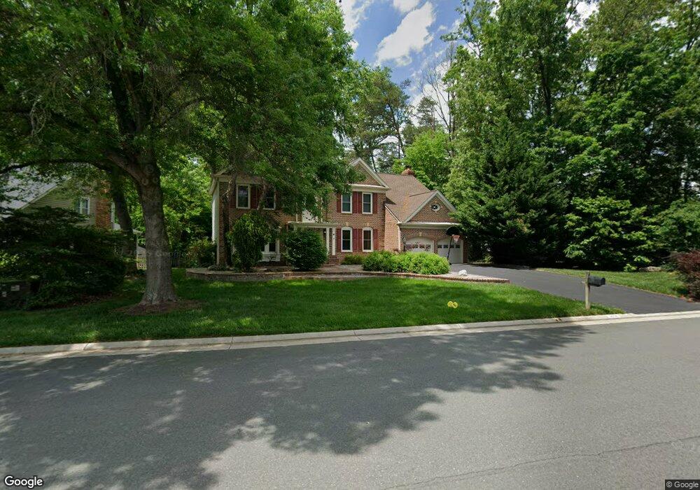
12706 Knightsbridge Dr Woodbridge, VA 22192
Westridge NeighborhoodEstimated Value: $778,000 - $915,000
4
Beds
4
Baths
3,055
Sq Ft
$272/Sq Ft
Est. Value
About This Home
This home is located at 12706 Knightsbridge Dr, Woodbridge, VA 22192 and is currently estimated at $831,248, approximately $272 per square foot. 12706 Knightsbridge Dr is a home located in Prince William County with nearby schools including Westridge Elementary School, Woodbridge Middle School, and Woodbridge High School.
Ownership History
Date
Name
Owned For
Owner Type
Purchase Details
Closed on
Jan 8, 2019
Sold by
Dunn Colin K and Dunn Maria M T
Bought by
Dunn Colin K and Dunn Maria M T
Current Estimated Value
Purchase Details
Closed on
Jun 21, 1994
Sold by
Mehr S P
Bought by
Montgomery Robin L
Home Financials for this Owner
Home Financials are based on the most recent Mortgage that was taken out on this home.
Original Mortgage
$256,000
Interest Rate
8.5%
Create a Home Valuation Report for This Property
The Home Valuation Report is an in-depth analysis detailing your home's value as well as a comparison with similar homes in the area
Home Values in the Area
Average Home Value in this Area
Purchase History
| Date | Buyer | Sale Price | Title Company |
|---|---|---|---|
| Dunn Colin K | -- | None Available | |
| Montgomery Robin L | $320,000 | -- |
Source: Public Records
Mortgage History
| Date | Status | Borrower | Loan Amount |
|---|---|---|---|
| Closed | Montgomery Robin L | $256,000 |
Source: Public Records
Tax History Compared to Growth
Tax History
| Year | Tax Paid | Tax Assessment Tax Assessment Total Assessment is a certain percentage of the fair market value that is determined by local assessors to be the total taxable value of land and additions on the property. | Land | Improvement |
|---|---|---|---|---|
| 2025 | $7,046 | $749,500 | $219,200 | $530,300 |
| 2024 | $7,046 | $708,500 | $206,600 | $501,900 |
| 2023 | $7,246 | $696,400 | $195,000 | $501,400 |
| 2022 | $7,574 | $673,600 | $195,000 | $478,600 |
| 2021 | $7,432 | $611,500 | $182,800 | $428,700 |
| 2020 | $8,858 | $571,500 | $176,600 | $394,900 |
| 2019 | $8,796 | $567,500 | $176,400 | $391,100 |
| 2018 | $6,534 | $541,100 | $168,700 | $372,400 |
| 2017 | $6,676 | $544,200 | $168,700 | $375,500 |
| 2016 | $6,657 | $547,900 | $158,600 | $389,300 |
| 2015 | $6,471 | $521,600 | $143,500 | $378,100 |
| 2014 | $6,471 | $521,000 | $144,700 | $376,300 |
Source: Public Records
Map
Nearby Homes
- 4281 Berwick Place
- 12687 Perchance Terrace
- 12438 Abbey Knoll Ct
- 12608 Aubrey Glen Terrace
- 12752 Effie Rose Place
- 12758 Silvia Loop
- 12734 Silvia Loop
- 4167 Churchman Way
- 12608 Kempston Ln
- 12658 Stone Lined Cir
- 4104 Churchman Way
- 4068 Chetham Way
- 12744 Stone Lined Cir
- 12769 Stone Lined Cir
- 3988 Cressida Place
- 4716 Kentwood Ln
- 12289 Arabian Place
- 12804 Evansport Place
- 12272 Arabian Place
- 12910 Kidwell Dr
- 12708 Knightsbridge Dr
- 4303 Berwick Place
- 12700 Knightsbridge Dr
- 12710 Knightsbridge Dr
- 4305 Berwick Place
- 4250 Brittany Ct
- 12714 Knightsbridge Dr
- 12707 Knightsbridge Dr
- 4307 Berwick Place
- 12703 Knightsbridge Dr
- 12712 Knightsbridge Dr
- 12701 Knightsbridge Dr
- 12713 Knightsbridge Dr
- 4309 Berwick Place
- 4304 Berwick Place
- 4300 Berwick Place
- 4248 Brittany Ct
- 12705 Knightsbridge Dr
- 12716 Knightsbridge Dr
- 4308 Berwick Place