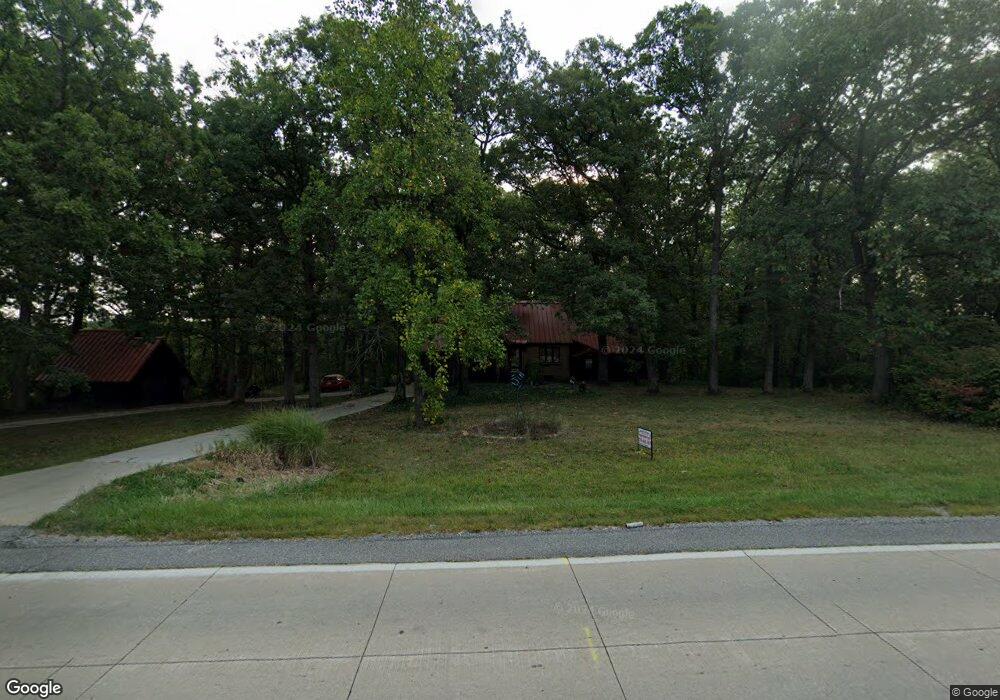
12707 Grant St Crown Point, IN 46307
Estimated Value: $317,000 - $405,000
3
Beds
1
Bath
1,460
Sq Ft
$245/Sq Ft
Est. Value
About This Home
This home is located at 12707 Grant St, Crown Point, IN 46307 and is currently estimated at $357,531, approximately $244 per square foot. 12707 Grant St is a home located in Lake County with nearby schools including Dwight D. Eisenhower Elementary School, Colonel John Wheeler Middle School, and Crown Point High School.
Ownership History
Date
Name
Owned For
Owner Type
Purchase Details
Closed on
Mar 7, 2006
Sold by
Kellum Marion F and Kellum Rosemary
Bought by
Kellum Marion and Kellum Rosemary
Current Estimated Value
Home Financials for this Owner
Home Financials are based on the most recent Mortgage that was taken out on this home.
Original Mortgage
$3,000
Interest Rate
6.22%
Mortgage Type
Purchase Money Mortgage
Create a Home Valuation Report for This Property
The Home Valuation Report is an in-depth analysis detailing your home's value as well as a comparison with similar homes in the area
Home Values in the Area
Average Home Value in this Area
Purchase History
| Date | Buyer | Sale Price | Title Company |
|---|---|---|---|
| Kellum Marion | -- | None Available |
Source: Public Records
Mortgage History
| Date | Status | Borrower | Loan Amount |
|---|---|---|---|
| Closed | Kellum Marion | $3,000 |
Source: Public Records
Tax History Compared to Growth
Tax History
| Year | Tax Paid | Tax Assessment Tax Assessment Total Assessment is a certain percentage of the fair market value that is determined by local assessors to be the total taxable value of land and additions on the property. | Land | Improvement |
|---|---|---|---|---|
| 2024 | $5,674 | $289,600 | $79,500 | $210,100 |
| 2023 | $2,788 | $267,000 | $79,500 | $187,500 |
| 2022 | $2,788 | $249,900 | $79,500 | $170,400 |
| 2021 | $2,457 | $233,800 | $77,500 | $156,300 |
| 2020 | $2,539 | $229,300 | $77,500 | $151,800 |
| 2019 | $2,489 | $216,600 | $77,500 | $139,100 |
| 2018 | $2,544 | $232,100 | $77,500 | $154,600 |
| 2017 | $2,587 | $210,800 | $77,500 | $133,300 |
| 2016 | $2,579 | $208,800 | $77,500 | $131,300 |
| 2014 | $2,399 | $210,000 | $77,500 | $132,500 |
| 2013 | $2,388 | $209,400 | $77,500 | $131,900 |
Source: Public Records
Map
Nearby Homes
- 12819 Grant St
- 12938 Hayes St
- 809 W 126th Ct
- 2439 W 127th Ave
- 253 W 129th Ave Unit 1
- 425 Sherwood Dr
- 13192 Hayes St
- 1152 S Ridge St
- 13085 Taft St
- 253 Nomo Place
- 244 Sawgrass Dr
- 283 Nomo Place
- 246 Sawgrass Dr
- 248 Sawgrass Dr
- 13111 Taft St
- The Ganby Plan at Sawgrass
- The Monarch Plan at Sawgrass
- The Keystone Plan at Sawgrass
- The Breckenridge Plan at Sawgrass
- 2725 W 127th Ln
- 1556 W 127th Place
- 1410 W 127th Place
- 12710 Grant St
- 12626 Grant St
- 12716 Grant St
- 1442 W 127th Place
- 1555 W 127th Place
- 12620 Grant St
- 12706 Grant St
- 12726 Grant St
- 1449 W 127th Place
- 12680 Buchanan Ln
- 12808 Grant St
- 12676 Buchanan Ln
- 12694 Buchanan Ln
- 12614 Grant St
- 12865 Lincoln Ct
- 12866 Lincoln Ct
- 12618 Buchanan Ln
- 12708 Buchanan Ln