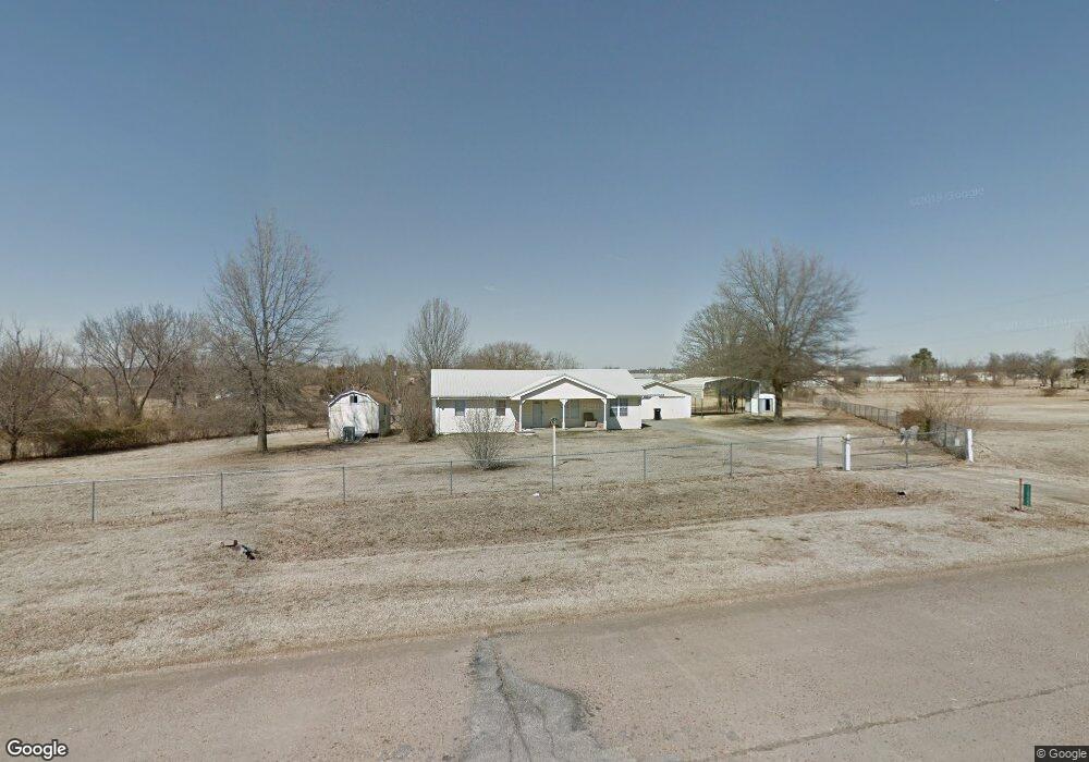
12708 S Andy Payne Blvd Claremore, OK 74017
Estimated Value: $142,000 - $179,000
3
Beds
2
Baths
1,020
Sq Ft
$156/Sq Ft
Est. Value
About This Home
This home is located at 12708 S Andy Payne Blvd, Claremore, OK 74017 and is currently estimated at $159,474, approximately $156 per square foot. 12708 S Andy Payne Blvd is a home with nearby schools including Foyil Elementary School and Hope Harbor Academy.
Ownership History
Date
Name
Owned For
Owner Type
Purchase Details
Closed on
Jun 5, 2018
Sold by
Wells Fargo Bank Na
Bought by
Meacham Lawrence Edward and Meacham Orveta Kaye
Current Estimated Value
Purchase Details
Closed on
Apr 26, 2018
Sold by
Noah Steven A
Bought by
Wells Fargo Bank Na
Purchase Details
Closed on
Apr 16, 2008
Sold by
Ash Bobby Loyd and Ash Donna K
Bought by
Noah Steven A
Home Financials for this Owner
Home Financials are based on the most recent Mortgage that was taken out on this home.
Original Mortgage
$111,254
Interest Rate
6%
Mortgage Type
FHA
Purchase Details
Closed on
Dec 24, 1997
Sold by
Anderson Carol Sue
Purchase Details
Closed on
Jul 1, 1997
Sold by
Ennis Ralph E
Create a Home Valuation Report for This Property
The Home Valuation Report is an in-depth analysis detailing your home's value as well as a comparison with similar homes in the area
Home Values in the Area
Average Home Value in this Area
Purchase History
| Date | Buyer | Sale Price | Title Company |
|---|---|---|---|
| Meacham Lawrence Edward | $55,000 | Oklahoma Land Title Services | |
| Wells Fargo Bank Na | $63,334 | None Available | |
| Noah Steven A | $113,000 | Land Title Closing Services | |
| -- | $48,000 | -- | |
| -- | -- | -- |
Source: Public Records
Mortgage History
| Date | Status | Borrower | Loan Amount |
|---|---|---|---|
| Previous Owner | Noah Steven A | $111,254 |
Source: Public Records
Tax History Compared to Growth
Tax History
| Year | Tax Paid | Tax Assessment Tax Assessment Total Assessment is a certain percentage of the fair market value that is determined by local assessors to be the total taxable value of land and additions on the property. | Land | Improvement |
|---|---|---|---|---|
| 2025 | $1,331 | $13,409 | $4,225 | $9,184 |
| 2024 | $1,331 | $12,769 | $3,964 | $8,805 |
| 2023 | $1,331 | $12,162 | $3,692 | $8,470 |
| 2022 | $1,244 | $11,889 | $3,451 | $8,438 |
| 2021 | $1,188 | $12,238 | $3,318 | $8,920 |
| 2020 | $1,176 | $11,384 | $2,599 | $8,785 |
| 2019 | $1,123 | $10,572 | $2,049 | $8,523 |
| 2018 | $1,154 | $11,063 | $2,049 | $9,014 |
| 2017 | $1,145 | $10,951 | $2,049 | $8,902 |
| 2016 | $1,158 | $10,704 | $2,049 | $8,655 |
| 2015 | $1,108 | $10,486 | $2,049 | $8,437 |
| 2014 | $1,078 | $10,200 | $1,788 | $8,412 |
Source: Public Records
Map
Nearby Homes
- 12795 S 4200 Rd
- 12667 S Oak Ave
- 11822 S Rawhide Rd
- 12871 S 4212 Rd
- 12871 S Rd
- 21592 S 4190 Rd
- 21620 S 4190 Rd
- 11686 S 4185 Rd
- 10670 S 4200 Rd
- 19071 E Highway 28a
- 10981 S Highway 66
- 19450 E Acorn Rd
- 10781 S Highway 66
- 0 S 4220 Rd Unit 2530424
- 17980 E 430 Rd
- 16762 E 380 Rd
- 14480 E 400 Rd
- 14800 S 4220 Rd
- 19840 E Highway 28 Hwy
- 12160 S 4230 Rd
- 12638 S Andy Payne Blvd
- 12638 S Andy Payne Blvd
- 12639 S 4200 Rd
- 12627 S 4200 Rd
- 12735 S Andy Payne Blvd
- 0 4200 Rd Unit 1532463
- 12609 S Andy Payne Cir
- 12575 S Andy Payne Cir
- 12597 S 4200 Rd
- 12415 S Poplar St
- 12486 S Andy Payne Blvd
- 12754 S 4200 Rd
- 12505 S Highway 66
- 12700 S Andy Payne Cir
- 12405 S Andy Payne Cir
- 12825 S 4200 Rd
- 12391 S 4200 Rd
- 12502 S Andy Payne Cir
- 12855 S 4200 Rd
- 12406 S Andy Payne Blvd