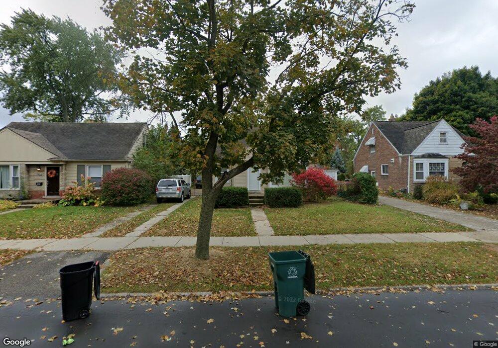
1271 Albany St Unit Bldg-Unit Ferndale, MI 48220
Estimated Value: $305,000 - $349,000
2
Beds
2
Baths
1,072
Sq Ft
$305/Sq Ft
Est. Value
About This Home
This home is located at 1271 Albany St Unit Bldg-Unit, Ferndale, MI 48220 and is currently estimated at $326,497, approximately $304 per square foot. 1271 Albany St Unit Bldg-Unit is a home located in Oakland County with nearby schools including Ferndale Lower Elementary Campus, Ferndale Upper Elementary Campus, and Ferndale Middle School.
Ownership History
Date
Name
Owned For
Owner Type
Purchase Details
Closed on
Jun 22, 2018
Sold by
Mcfarland Kevin M and Mcfarland Stacey A
Bought by
Brown Marcus
Current Estimated Value
Home Financials for this Owner
Home Financials are based on the most recent Mortgage that was taken out on this home.
Original Mortgage
$165,200
Outstanding Balance
$142,870
Interest Rate
4.5%
Mortgage Type
New Conventional
Estimated Equity
$183,627
Purchase Details
Closed on
Jun 4, 1999
Sold by
Schlabach Jon G
Bought by
Mcfarland Kevin M
Home Financials for this Owner
Home Financials are based on the most recent Mortgage that was taken out on this home.
Original Mortgage
$123,600
Interest Rate
7.68%
Purchase Details
Closed on
Sep 8, 1998
Sold by
Schlabach Helen A
Bought by
Schlabach Jon Gary
Create a Home Valuation Report for This Property
The Home Valuation Report is an in-depth analysis detailing your home's value as well as a comparison with similar homes in the area
Home Values in the Area
Average Home Value in this Area
Purchase History
| Date | Buyer | Sale Price | Title Company |
|---|---|---|---|
| Brown Marcus | $206,500 | None Available | |
| Mcfarland Kevin M | $120,000 | -- | |
| Schlabach Jon Gary | $83,000 | -- |
Source: Public Records
Mortgage History
| Date | Status | Borrower | Loan Amount |
|---|---|---|---|
| Open | Brown Marcus | $165,200 | |
| Previous Owner | Mcfarland Kevin M | $123,600 |
Source: Public Records
Tax History Compared to Growth
Tax History
| Year | Tax Paid | Tax Assessment Tax Assessment Total Assessment is a certain percentage of the fair market value that is determined by local assessors to be the total taxable value of land and additions on the property. | Land | Improvement |
|---|---|---|---|---|
| 2024 | $5,524 | $129,380 | $0 | $0 |
| 2023 | $5,372 | $121,740 | $0 | $0 |
| 2022 | $5,407 | $111,690 | $0 | $0 |
| 2021 | $5,440 | $103,750 | $0 | $0 |
| 2020 | $5,151 | $99,740 | $0 | $0 |
| 2019 | $5,465 | $93,910 | $0 | $0 |
| 2018 | $2,512 | $79,640 | $0 | $0 |
| 2017 | $2,480 | $78,410 | $0 | $0 |
| 2016 | $2,448 | $73,770 | $0 | $0 |
| 2015 | -- | $51,550 | $0 | $0 |
| 2014 | -- | $46,380 | $0 | $0 |
| 2011 | -- | $49,090 | $0 | $0 |
Source: Public Records
Map
Nearby Homes
- 1364 W Saratoga St
- 1386 W Saratoga St
- 1416 Leroy St
- 1406 W Saratoga St
- 1437 Pearson St
- 1709 Beaufield St
- 964 W Marshall St
- 853 Leroy St
- 1526 Albany St
- 1517 W Saratoga St
- 1924 Pinecrest Dr
- 816 Pearson St
- 630 W Troy St
- 1668 Albany St
- 619 Withington St
- 768 Pinecrest Dr
- 1676 Pearson St
- 1941 Hyland St
- 21376 Mitchelldale Ave
- 571 W Saratoga St