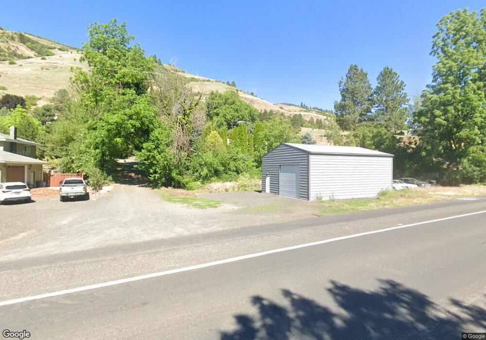
1271 Main St Juliaetta, ID 83535
Estimated Value: $122,000 - $415,000
3
Beds
2
Baths
--
Sq Ft
23,522
Sq Ft Lot
About This Home
This home is located at 1271 Main St, Juliaetta, ID 83535 and is currently estimated at $262,551. 1271 Main St is a home located in Latah County with nearby schools including Juliaetta Elementary School and Kendrick Junior/Senior High School.
Ownership History
Date
Name
Owned For
Owner Type
Purchase Details
Closed on
May 27, 2011
Sold by
Skaarland Leslie D and Skaarland Kathy L
Bought by
Burrows Michael J
Current Estimated Value
Home Financials for this Owner
Home Financials are based on the most recent Mortgage that was taken out on this home.
Original Mortgage
$104,189
Outstanding Balance
$71,857
Interest Rate
4.87%
Mortgage Type
FHA
Estimated Equity
$190,694
Purchase Details
Closed on
Jul 5, 2007
Sold by
Smith Charlene K
Bought by
Skaarland Leslie D and Skaarland Kathy L
Home Financials for this Owner
Home Financials are based on the most recent Mortgage that was taken out on this home.
Original Mortgage
$77,500
Interest Rate
6.51%
Mortgage Type
New Conventional
Create a Home Valuation Report for This Property
The Home Valuation Report is an in-depth analysis detailing your home's value as well as a comparison with similar homes in the area
Purchase History
| Date | Buyer | Sale Price | Title Company |
|---|---|---|---|
| Burrows Michael J | -- | None Available | |
| Skaarland Leslie D | -- | -- |
Source: Public Records
Mortgage History
| Date | Status | Borrower | Loan Amount |
|---|---|---|---|
| Open | Burrows Michael J | $104,189 | |
| Previous Owner | Skaarland Leslie D | $77,500 |
Source: Public Records
Tax History
| Year | Tax Paid | Tax Assessment Tax Assessment Total Assessment is a certain percentage of the fair market value that is determined by local assessors to be the total taxable value of land and additions on the property. | Land | Improvement |
|---|---|---|---|---|
| 2025 | $1,535 | $279,370 | $46,000 | $233,370 |
| 2024 | $1,535 | $276,770 | $46,000 | $230,770 |
| 2023 | $1,545 | $276,770 | $46,000 | $230,770 |
| 2022 | $1,717 | $232,847 | $41,790 | $191,057 |
| 2021 | $1,891 | $162,951 | $41,790 | $121,161 |
| 2020 | $1,331 | $153,019 | $39,800 | $113,219 |
| 2019 | $1,257 | $131,202 | $39,800 | $91,402 |
| 2018 | $1,183 | $120,400 | $39,800 | $80,600 |
| 2017 | $1,185 | $117,223 | $39,800 | $77,423 |
| 2016 | $1,093 | $0 | $0 | $0 |
| 2014 | $1,098 | $109,923 | $39,800 | $70,123 |
Source: Public Records
Map
Nearby Homes
- 128 Old Main St
- 164 State St
- 196 Main St
- 305 3rd St
- 27406 Gem Ln
- 13790 Cross Farm Rd
- 17550 Stoney Point
- 1701 State Highway 3
- TBD Sperry Grade Rd
- 18508 Blossom Ln
- 701 Wheeler St
- 406 W Main
- 812 Main St
- 901 E Main St
- 403 N Kirby St
- 20485 Cotton Tail Ln
- 31404 Paradise Ln
- 31388 Paradise Ln
- TBD Arrow Highline Rd
- 31803 Cherry Ranch Ln
- 1281 Main St
- 1281 Main St Unit 1281 Highway 3
- 2231 Smith Dr
- 1391 Main St
- 5301 Riverview Dr
- 5261 Riverview Dr
- 4140 Old Main St
- 5225 Riverview Dr
- 6101 Old Main St
- 4126 Old Main St
- 1461 Main St
- 000 Main St
- 1721 Highway 3 Unit 3B
- 1721 Highway 3 Unit N4
- 1721 Highway 3 Unit N2
- 1721 Highway 3 Unit N1
- 1721 Highway 3
- 1721 Highway 3
- 1721 Highway 3
- 15919 Buttercup Ln
Your Personal Tour Guide
Ask me questions while you tour the home.