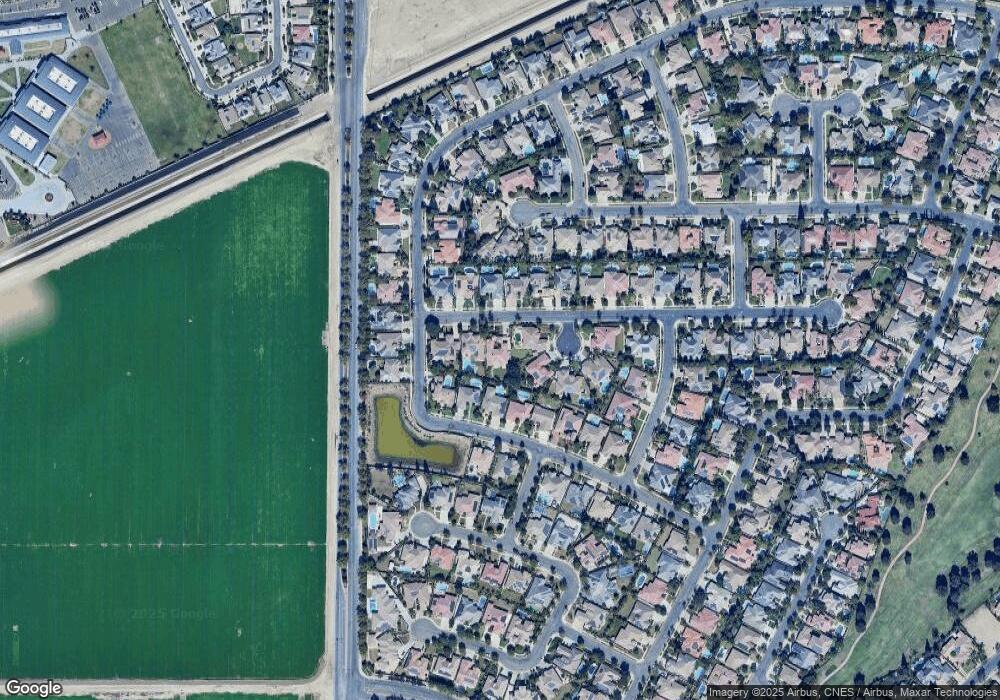
12715 Locksley Dr Bakersfield, CA 93311
Seven Oaks NeighborhoodEstimated Value: $783,468 - $904,000
5
Beds
4
Baths
3,461
Sq Ft
$244/Sq Ft
Est. Value
About This Home
This home is located at 12715 Locksley Dr, Bakersfield, CA 93311 and is currently estimated at $845,117, approximately $244 per square foot. 12715 Locksley Dr is a home located in Kern County with nearby schools including Ronald Reagan Elementary School, Earl Warren Junior High School, and Stockdale High School.
Ownership History
Date
Name
Owned For
Owner Type
Purchase Details
Closed on
Dec 2, 2011
Sold by
Haddock Diane M
Bought by
Maron Michael
Current Estimated Value
Purchase Details
Closed on
Jan 19, 2006
Sold by
R R B Inc
Bought by
Haddock Steve C and Haddock Diane M
Home Financials for this Owner
Home Financials are based on the most recent Mortgage that was taken out on this home.
Original Mortgage
$491,750
Interest Rate
6.25%
Mortgage Type
Negative Amortization
Purchase Details
Closed on
Jun 4, 2004
Sold by
Castle & Cooke California Inc
Bought by
Rrb Inc
Home Financials for this Owner
Home Financials are based on the most recent Mortgage that was taken out on this home.
Original Mortgage
$82,500
Interest Rate
6.27%
Mortgage Type
Seller Take Back
Create a Home Valuation Report for This Property
The Home Valuation Report is an in-depth analysis detailing your home's value as well as a comparison with similar homes in the area
Home Values in the Area
Average Home Value in this Area
Purchase History
| Date | Buyer | Sale Price | Title Company |
|---|---|---|---|
| Maron Michael | $380,000 | Chicago Title Company | |
| Haddock Steve C | $615,000 | Ticor Title Company Of Ca | |
| Rrb Inc | -- | Ticor Title |
Source: Public Records
Mortgage History
| Date | Status | Borrower | Loan Amount |
|---|---|---|---|
| Previous Owner | Haddock Steve C | $491,750 | |
| Previous Owner | Rrb Inc | $82,500 |
Source: Public Records
Tax History Compared to Growth
Tax History
| Year | Tax Paid | Tax Assessment Tax Assessment Total Assessment is a certain percentage of the fair market value that is determined by local assessors to be the total taxable value of land and additions on the property. | Land | Improvement |
|---|---|---|---|---|
| 2025 | $6,722 | $521,249 | $125,599 | $395,650 |
| 2024 | $6,621 | $511,030 | $123,137 | $387,893 |
| 2023 | $6,621 | $501,011 | $120,723 | $380,288 |
| 2022 | $6,363 | $491,188 | $118,356 | $372,832 |
| 2021 | $6,228 | $481,558 | $116,036 | $365,522 |
| 2020 | $6,606 | $476,622 | $114,847 | $361,775 |
| 2019 | $6,533 | $476,622 | $114,847 | $361,775 |
| 2018 | $6,274 | $458,117 | $110,389 | $347,728 |
| 2017 | $6,293 | $449,135 | $108,225 | $340,910 |
| 2016 | $5,938 | $440,329 | $106,103 | $334,226 |
| 2015 | $5,902 | $433,716 | $104,510 | $329,206 |
| 2014 | $5,670 | $425,221 | $102,463 | $322,758 |
Source: Public Records
Map
Nearby Homes
- 12416 Locksley Dr
- 2318 Edingal Dr
- 2404 Edingal Dr
- 2416 Edingal Dr
- 12504 Crown Crest Dr
- 2624 Oakley St
- 12607 Schooner Beach Dr
- 2205 Tiverton Dr
- 12731 Marsden St
- 12117 Clegg Dr
- 2407 Brighton Park Dr
- 1525 Sugarleaf Ridge Dr
- 1513 Sugarleaf Ridge Dr
- 12811 Woodson Bridge Dr
- 12001 Bedfordshire Dr
- 13611 Faringford Ln
- 1709 Apsley Ct
- 11902 Bedfordshire Dr
- 2406 Windermere St
- 12200 White Rapids Way
- 2201 Raleigh Ct
- 2205 Raleigh Ct
- 12708 Bickerstaff Dr
- 12712 Bickerstaff Dr
- 12723 Locksley Dr
- 12704 Bickerstaff Dr
- 12714 Locksley Dr
- 12710 Locksley Dr
- 12718 Locksley Dr
- 12700 Bickerstaff Dr
- 2208 Raleigh Ct
- 12706 Locksley Dr
- 12722 Locksley Dr
- 12702 Locksley Dr
- 12610 Bickerstaff Dr
- 2204 Raleigh Ct
- 12709 Thornwood Dr
- 2200 Raleigh Ct
- 2111 Redmire St
- 2107 Redmire St
